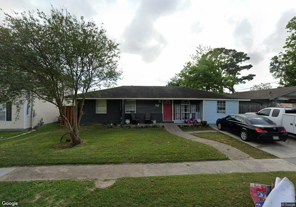
2609 Haring Rd Metairie, LA 70001
Westgate NeighborhoodEstimated Value: $236,996 - $295,000
--
Bed
--
Bath
--
Sq Ft
6,839
Sq Ft Lot
About This Home
This home is located at 2609 Haring Rd, Metairie, LA 70001 and is currently estimated at $267,249. 2609 Haring Rd is a home with nearby schools including Phoebe Hearst School, Airline Park Academy For Advanced Studies, and Gerald M. Parmenter Elementary School.
Ownership History
Date
Name
Owned For
Owner Type
Purchase Details
Closed on
Oct 12, 2021
Sold by
Smith Stephan G and Smith Alison F
Bought by
Smith Christian and Caracci Elizabeth
Current Estimated Value
Home Financials for this Owner
Home Financials are based on the most recent Mortgage that was taken out on this home.
Original Mortgage
$200,000
Outstanding Balance
$182,381
Interest Rate
2.8%
Mortgage Type
New Conventional
Estimated Equity
$84,868
Create a Home Valuation Report for This Property
The Home Valuation Report is an in-depth analysis detailing your home's value as well as a comparison with similar homes in the area
Home Values in the Area
Average Home Value in this Area
Purchase History
| Date | Buyer | Sale Price | Title Company |
|---|---|---|---|
| Smith Christian | $250,000 | True Title Of Metairie Llc |
Source: Public Records
Mortgage History
| Date | Status | Borrower | Loan Amount |
|---|---|---|---|
| Open | Smith Christian | $200,000 |
Source: Public Records
Tax History Compared to Growth
Tax History
| Year | Tax Paid | Tax Assessment Tax Assessment Total Assessment is a certain percentage of the fair market value that is determined by local assessors to be the total taxable value of land and additions on the property. | Land | Improvement |
|---|---|---|---|---|
| 2024 | $583 | $23,750 | $7,720 | $16,030 |
| 2023 | $3,124 | $23,750 | $7,720 | $16,030 |
| 2022 | $3,043 | $23,750 | $7,720 | $16,030 |
| 2021 | $1,409 | $11,840 | $7,720 | $4,120 |
| 2020 | $1,399 | $11,840 | $7,720 | $4,120 |
| 2019 | $1,438 | $11,840 | $6,180 | $5,660 |
| 2018 | $1,343 | $11,840 | $6,180 | $5,660 |
| 2017 | $1,343 | $11,840 | $6,180 | $5,660 |
| 2016 | $1,317 | $11,840 | $6,180 | $5,660 |
| 2015 | $1,306 | $11,610 | $4,950 | $6,660 |
| 2014 | $1,306 | $11,610 | $4,950 | $6,660 |
Source: Public Records
Map
Nearby Homes
- 2412 Green Acres Rd
- 5613 Morton St
- 5240 Trenton St
- 5013 Wabash St
- 5800 Marcie St
- 5604 Boutall St
- 2200 Elizabeth St
- 2609 Transcontinental Dr
- 2817 Transcontinental Dr
- 2608 Winifred St
- 4924 Sanford St
- 2913 Jessica St
- 5612 Bridget St
- 6101 Marcie St
- 2000 Elizabeth Ave
- 4917 Rye St
- 4837 Wabash St Unit 7
- 6109 Marcie St
- 4827 Utica St
- 4833 Wabash St Unit 3
- 2613 Haring Rd
- 2605 Haring Rd
- 2601 Haring Rd
- 5240 Vineland St
- 2604 Haring Rd
- 2600 Haring Rd
- 2608 Haring Rd
- 5236 Vineland St
- 2616 Haring Rd
- 5237 Wabash St
- 5232 Vineland St
- 2517 Haring Rd
- 5233 Wabash St
- 5228 Vineland St
- 2605 Green Acres Rd
- 2601 Green Acres Rd
- 2609 Green Acres Rd
- 2517 Green Acres Rd
- 2516 Haring Rd
- 2613 Green Acres Rd