2609 Lantern Light Way Manasquan, NJ 08736
Estimated Value: $1,152,000 - $1,402,000
3
Beds
3
Baths
3,461
Sq Ft
$367/Sq Ft
Est. Value
About This Home
This home is located at 2609 Lantern Light Way, Manasquan, NJ 08736 and is currently estimated at $1,270,633, approximately $367 per square foot. 2609 Lantern Light Way is a home located in Monmouth County with nearby schools including Wall High School, The Brookside School, and St Dominic School.
Ownership History
Date
Name
Owned For
Owner Type
Purchase Details
Closed on
Nov 3, 2009
Sold by
Gill Robert B and Gill Valerie J
Bought by
Christen Leon and Christen Marie K
Current Estimated Value
Purchase Details
Closed on
Dec 3, 1998
Sold by
Hovnanian K
Bought by
Gill Robert and Gill Valerie
Home Financials for this Owner
Home Financials are based on the most recent Mortgage that was taken out on this home.
Original Mortgage
$250,000
Interest Rate
6.8%
Mortgage Type
Purchase Money Mortgage
Create a Home Valuation Report for This Property
The Home Valuation Report is an in-depth analysis detailing your home's value as well as a comparison with similar homes in the area
Home Values in the Area
Average Home Value in this Area
Purchase History
| Date | Buyer | Sale Price | Title Company |
|---|---|---|---|
| Christen Leon | $625,000 | None Available | |
| Gill Robert | $399,486 | -- |
Source: Public Records
Mortgage History
| Date | Status | Borrower | Loan Amount |
|---|---|---|---|
| Previous Owner | Gill Robert | $250,000 |
Source: Public Records
Tax History Compared to Growth
Tax History
| Year | Tax Paid | Tax Assessment Tax Assessment Total Assessment is a certain percentage of the fair market value that is determined by local assessors to be the total taxable value of land and additions on the property. | Land | Improvement |
|---|---|---|---|---|
| 2025 | $14,570 | $690,500 | $345,600 | $344,900 |
| 2024 | $14,135 | $690,500 | $345,600 | $344,900 |
| 2023 | $14,135 | $690,500 | $345,600 | $344,900 |
| 2022 | $12,539 | $690,500 | $345,600 | $344,900 |
| 2021 | $12,539 | $690,500 | $345,600 | $344,900 |
| 2020 | $13,624 | $690,500 | $345,600 | $344,900 |
| 2019 | $13,458 | $690,500 | $345,600 | $344,900 |
| 2018 | $13,340 | $690,500 | $345,600 | $344,900 |
| 2017 | $13,078 | $690,500 | $345,600 | $344,900 |
| 2016 | $12,802 | $690,500 | $345,600 | $344,900 |
| 2015 | $11,526 | $399,200 | $128,900 | $270,300 |
| 2014 | $10,998 | $390,000 | $119,700 | $270,300 |
Source: Public Records
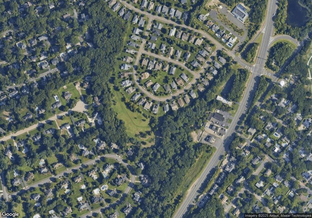
Map
Nearby Homes
- 1582 Horseshoe Dr
- 664 Valley Rd
- 2567 River Rd
- 21 N Tamarack Dr
- 2639 River Rd
- 1004 Cedar Ln
- 29 Mulberry Ct Unit D
- 2578 Collier Rd
- 931 Birch Dr
- 20 Maple Ln Unit D
- 1544 Harvest Ln
- 846 William Dr
- 924 Birch Dr
- 1041 Oval Rd Unit 5
- 2573 Curriers Place
- 1105 Shore Dr
- Kensington Plan at The Monmouth - The Villas 55+
- 2511 Morningstar Rd
- 2510 Morningstar Rd
- 2528 River Rd
- 2607 Lantern Light Way
- 2611 Lantern Light Way
- 2605 Lantern Light Way
- 2613 Lantern Light Way
- 2604 Lantern Light Way
- 2614 Lantern Light Way
- 2603 Lantern Light Way
- 2615 Lantern Light Way
- 2602 Lantern Light Way
- 2617 Lantern Light Way
- 2601 Lantern Light Way
- 2618 Lantern Light Way
- 2600 Lantern Light Way
- 2599 Lantern Light Way
- 1503 Sawyer Ave
- 1501 Sawyer Ave
- 1505 Sawyer Ave
- 2620 Lantern Light Way
- 1507 Sawyer Ave
- 2597 Lantern Light Way