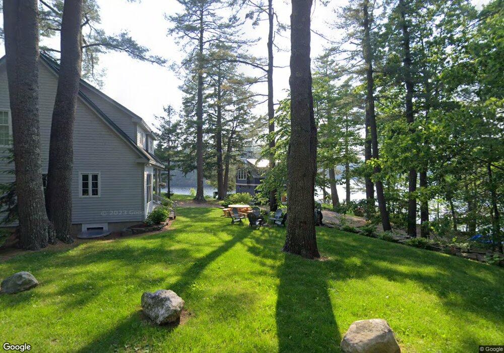
261 Beaucaire Ave Camden, ME 04843
Estimated Value: $950,000 - $1,116,250
3
Beds
2
Baths
1,479
Sq Ft
$707/Sq Ft
Est. Value
About This Home
This home is located at 261 Beaucaire Ave, Camden, ME 04843 and is currently estimated at $1,046,083, approximately $707 per square foot. 261 Beaucaire Ave is a home located in Knox County with nearby schools including Camden-Rockport Elementary School, Camden-Rockport Middle School, and Camden Hills Regional High School.
Ownership History
Date
Name
Owned For
Owner Type
Purchase Details
Closed on
May 23, 2013
Sold by
Oeste James H and Oeste Kristina R
Bought by
Cleary Margaret and Gallagher Catherine S
Current Estimated Value
Purchase Details
Closed on
May 5, 2006
Sold by
Bryant Doris B and Buffett Doris E
Bought by
Oeste James H and Oeste Kristina R
Home Financials for this Owner
Home Financials are based on the most recent Mortgage that was taken out on this home.
Original Mortgage
$417,000
Interest Rate
6.34%
Mortgage Type
Purchase Money Mortgage
Create a Home Valuation Report for This Property
The Home Valuation Report is an in-depth analysis detailing your home's value as well as a comparison with similar homes in the area
Home Values in the Area
Average Home Value in this Area
Purchase History
| Date | Buyer | Sale Price | Title Company |
|---|---|---|---|
| Cleary Margaret | -- | -- | |
| Oeste James H | -- | -- |
Source: Public Records
Mortgage History
| Date | Status | Borrower | Loan Amount |
|---|---|---|---|
| Previous Owner | Oeste James H | $417,000 |
Source: Public Records
Tax History Compared to Growth
Tax History
| Year | Tax Paid | Tax Assessment Tax Assessment Total Assessment is a certain percentage of the fair market value that is determined by local assessors to be the total taxable value of land and additions on the property. | Land | Improvement |
|---|---|---|---|---|
| 2024 | $9,864 | $939,400 | $525,800 | $413,600 |
| 2023 | $10,564 | $765,500 | $434,900 | $330,600 |
| 2022 | $10,105 | $765,500 | $434,900 | $330,600 |
| 2021 | $7,650 | $498,400 | $264,300 | $234,100 |
| 2020 | $7,491 | $498,400 | $264,300 | $234,100 |
| 2019 | $7,431 | $498,400 | $264,300 | $234,100 |
| 2018 | $7,915 | $531,900 | $327,500 | $204,400 |
| 2017 | $7,649 | $531,900 | $327,500 | $204,400 |
| 2016 | $5,918 | $379,600 | $158,800 | $220,800 |
| 2015 | $5,743 | $379,600 | $158,800 | $220,800 |
| 2014 | $5,317 | $368,500 | $158,800 | $209,700 |
| 2013 | $5,174 | $368,500 | $158,800 | $209,700 |
Source: Public Records
Map
Nearby Homes
- 315 Beaucaire Ave
- 111 Start Rd
- 161 Beaucaire Ave
- 11 A Mountainside Park
- 424 Molyneaux Rd
- 43 Melvin Heights Rd
- 2 Bald Mountain Rd
- 6 Rd
- 110 Mountain St
- 92 Camden Rd
- 80 Cobb Rd
- 1 Branch St
- 10 Glenfield Cir
- 159 Mechanic St
- Lot 58 Camden Rd
- 122,6-1 Timbercliffe Dr
- 122,7-1 Timbercliffe Dr
- 91 Simonton Rd
- 00 Mountain Arrow Dr Unit LOT B
- Part of Map 26 Lot 46 & 48 Mullins Bog Rd
- 265 Beaucaire Ave
- 263 Beaucaire Ave
- 267 Beaucaire Ave
- 257 Beaucaire Ave
- 269 Beaucaire Ave
- 255 Beaucaire Ave
- 273 Beaucaire Ave
- 275 Beaucaire Ave
- 247 Beaucaire Ave
- 277 Beaucaire Ave
- 0 Beaucaire Ave
- 281 Beaucaire Ave
- 67 Codman Island Rd
- 285 Beaucaire Ave
- 237 Beaucaire Ave
- 57 Codman Island Rd
- 61 Codman Island Rd
- 286 Beaucaire Ave
- 259 Beaucaire Ave
- 55 Codman Island Rd