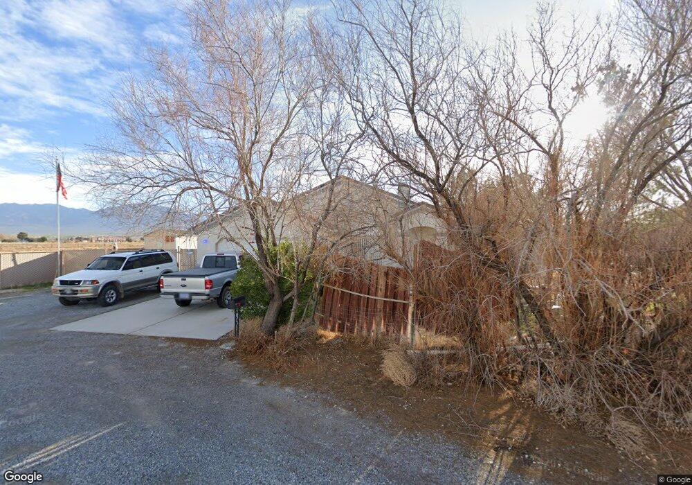
261 Big 5 Rd Unit 2 Pahrump, NV 89048
Estimated Value: $341,000 - $371,000
--
Bed
--
Bath
1,659
Sq Ft
$214/Sq Ft
Est. Value
About This Home
This home is located at 261 Big 5 Rd Unit 2, Pahrump, NV 89048 and is currently estimated at $355,729, approximately $214 per square foot. 261 Big 5 Rd Unit 2 is a home located in Nye County with nearby schools including J.G. Johnson Elementary School, Rosemary Clarke Middle School, and Pahrump Valley High School.
Ownership History
Date
Name
Owned For
Owner Type
Purchase Details
Closed on
Sep 14, 2010
Sold by
Burnsed Edward A
Bought by
Saldutti Ralph R
Current Estimated Value
Home Financials for this Owner
Home Financials are based on the most recent Mortgage that was taken out on this home.
Original Mortgage
$79,200
Outstanding Balance
$51,872
Interest Rate
4.28%
Mortgage Type
New Conventional
Estimated Equity
$303,857
Purchase Details
Closed on
Sep 8, 2006
Sold by
Burnsed Edward A
Bought by
Burnsed Edward A and Burnsed Sherry L
Home Financials for this Owner
Home Financials are based on the most recent Mortgage that was taken out on this home.
Original Mortgage
$176,750
Interest Rate
6.56%
Mortgage Type
New Conventional
Create a Home Valuation Report for This Property
The Home Valuation Report is an in-depth analysis detailing your home's value as well as a comparison with similar homes in the area
Home Values in the Area
Average Home Value in this Area
Purchase History
| Date | Buyer | Sale Price | Title Company |
|---|---|---|---|
| Saldutti Ralph R | $99,000 | North American Title | |
| Burnsed Edward A | -- | Alliance Title Of Co Of Nv | |
| Burnsed Edward A | -- | Multiple |
Source: Public Records
Mortgage History
| Date | Status | Borrower | Loan Amount |
|---|---|---|---|
| Open | Saldutti Ralph R | $79,200 | |
| Previous Owner | Burnsed Edward A | $176,750 |
Source: Public Records
Tax History Compared to Growth
Tax History
| Year | Tax Paid | Tax Assessment Tax Assessment Total Assessment is a certain percentage of the fair market value that is determined by local assessors to be the total taxable value of land and additions on the property. | Land | Improvement |
|---|---|---|---|---|
| 2025 | $1,211 | $63,003 | $3,618 | $59,385 |
| 2024 | $1,211 | $63,647 | $3,618 | $60,029 |
| 2023 | $1,211 | $58,806 | $3,618 | $55,188 |
| 2022 | $1,140 | $53,540 | $3,618 | $49,922 |
| 2021 | $1,110 | $50,951 | $2,894 | $48,057 |
| 2020 | $1,079 | $50,918 | $2,894 | $48,024 |
| 2019 | $1,047 | $57,097 | $2,894 | $54,203 |
| 2018 | $1,018 | $54,723 | $2,315 | $52,408 |
| 2017 | $989 | $44,045 | $2,315 | $41,730 |
| 2016 | $965 | $33,628 | $2,315 | $31,313 |
| 2015 | $963 | $26,170 | $2,315 | $23,855 |
| 2014 | $936 | $28,217 | $2,315 | $25,902 |
Source: Public Records
Map
Nearby Homes
- 61 Montecito Dr
- 320 Riviera Dr
- 881 Montecito Dr
- 356 Saint Andrew St
- 410 Candle Stick Ave
- 311 Inverness Ave
- 360 Inverness Ave
- 31 Tenderfoot Trail
- 30 Diamond Bar Rd
- 410 Montecito Dr
- 581 Montecito Dr
- 90 Mondale Ct
- 231 Weeping Willow Ct
- 210 S Magnolia Blvd
- 170 Magnolia Blvd
- 361 Slater Cir
- 401 Olive Branch Ln
- 610 W Morgan
- 781 Buol Rd
- 271 W Comstock Cir N
- 281 Big 5 Rd
- 260 Dylan Place
- 1001 Montecito Dr
- 280 Dylan Place
- 301 Big 5 Rd
- 301 Big Five Rd
- 991 Montecito Dr
- 21 Montecito Dr
- 300 Dylan Place
- 31 Montecito Dr
- 981 Montecito Dr
- 1000 Pinehurst Ave
- 970 Montecito Dr
- 971 Montecito Dr
- 261 Dylan Place
- 990 Pinehurst Ave
- 1005 Pinehurst Ave
- 960 Montecito Dr
- 281 Dylan Place
- 961 Montecito Dr