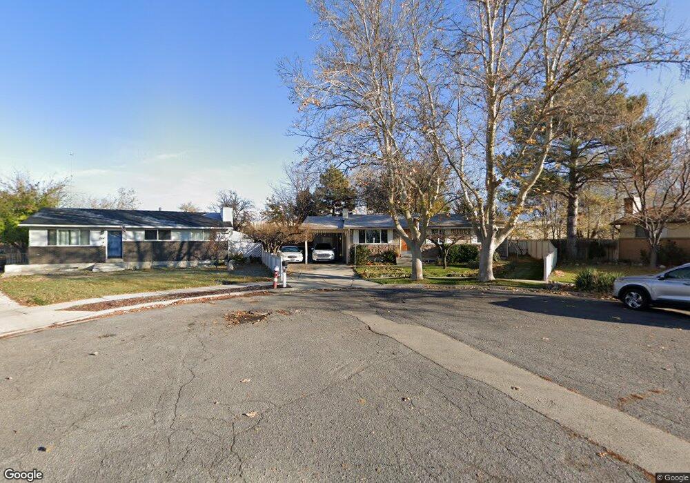
261 Clegg Cir American Fork, UT 84003
Estimated Value: $467,862 - $506,000
4
Beds
2
Baths
1,000
Sq Ft
$489/Sq Ft
Est. Value
About This Home
This home is located at 261 Clegg Cir, American Fork, UT 84003 and is currently estimated at $489,216, approximately $489 per square foot. 261 Clegg Cir is a home located in Utah County with nearby schools including Greenwood Elementary School, American Fork Junior High School, and American Fork High School.
Ownership History
Date
Name
Owned For
Owner Type
Purchase Details
Closed on
Jul 18, 2024
Sold by
Best Reed Wayne and Best Luana Atoa
Bought by
Rl Best Family Trust and Best
Current Estimated Value
Home Financials for this Owner
Home Financials are based on the most recent Mortgage that was taken out on this home.
Original Mortgage
$230,000
Outstanding Balance
$227,253
Interest Rate
6.99%
Mortgage Type
Credit Line Revolving
Estimated Equity
$261,963
Purchase Details
Closed on
Jun 14, 2013
Sold by
Best Reed Wayne and Best Luana Atoa
Bought by
Best Reed Wayne and Best Luana Atoa
Purchase Details
Closed on
Aug 30, 2000
Sold by
Best Reed W
Bought by
Best Reed W and Best Luana A
Create a Home Valuation Report for This Property
The Home Valuation Report is an in-depth analysis detailing your home's value as well as a comparison with similar homes in the area
Home Values in the Area
Average Home Value in this Area
Purchase History
| Date | Buyer | Sale Price | Title Company |
|---|---|---|---|
| Rl Best Family Trust | -- | Meridian Title | |
| Best Reed Wayne | -- | Meridian Title | |
| Best Reed Wayne | -- | None Available | |
| Best Reed W | -- | Title West Title Co |
Source: Public Records
Mortgage History
| Date | Status | Borrower | Loan Amount |
|---|---|---|---|
| Open | Best Reed Wayne | $230,000 |
Source: Public Records
Tax History Compared to Growth
Tax History
| Year | Tax Paid | Tax Assessment Tax Assessment Total Assessment is a certain percentage of the fair market value that is determined by local assessors to be the total taxable value of land and additions on the property. | Land | Improvement |
|---|---|---|---|---|
| 2025 | $1,949 | $246,015 | $199,100 | $248,200 |
| 2024 | $1,949 | $216,535 | $0 | $0 |
| 2023 | $1,815 | $213,785 | $0 | $0 |
| 2022 | $1,930 | $224,345 | $0 | $0 |
| 2021 | $1,597 | $290,000 | $125,000 | $165,000 |
| 2020 | $1,501 | $264,400 | $111,600 | $152,800 |
| 2019 | $1,394 | $254,000 | $101,200 | $152,800 |
| 2018 | $1,313 | $228,600 | $94,200 | $134,400 |
| 2017 | $1,218 | $114,455 | $0 | $0 |
| 2016 | $1,146 | $100,100 | $0 | $0 |
| 2015 | $1,100 | $91,135 | $0 | $0 |
| 2014 | $1,083 | $88,550 | $0 | $0 |
Source: Public Records
Map
Nearby Homes
- 271 S Barratt Cir
- 382 W 330 S
- 365 W 370 S
- 391 W 370 S
- 316 W 390 S
- 351 Washington Ave
- 82 S Lincoln Ave
- 412 S 390 W
- 424 S 340 W
- 429 S Storrs Ave
- 55 Roosevelt Ave
- 368 S Storrs Ct Unit 107
- 55 S 200 W
- 217 W Main St
- 120 N 350 W Unit 127
- 120 N 350 W Unit 133
- 120 N 350 W Unit 130
- 195 S Center St
- 326 S 650 W
- 304 S 680 W