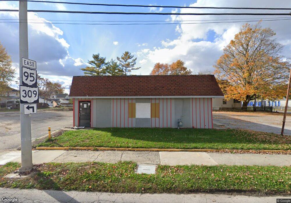
261 Davids St Marion, OH 43302
Estimated Value: $107,693
--
Bed
--
Bath
2,175
Sq Ft
$50/Sq Ft
Est. Value
About This Home
This home is located at 261 Davids St, Marion, OH 43302 and is currently estimated at $107,693, approximately $49 per square foot. 261 Davids St is a home located in Marion County with nearby schools including James A. Garfield Elementary School, Ulysses S. Grant Middle School, and Harding High School.
Ownership History
Date
Name
Owned For
Owner Type
Purchase Details
Closed on
Aug 5, 2016
Sold by
Neault Marcelle L
Bought by
Chaialee Loph and Chaialee Saengdao
Current Estimated Value
Purchase Details
Closed on
Mar 3, 2015
Sold by
Estate Of Ronald A Landefeld
Bought by
Neault Marcelle L
Purchase Details
Closed on
Apr 4, 2007
Sold by
Collins Dale E
Bought by
Landefeld Ronald A
Purchase Details
Closed on
Aug 13, 2002
Bought by
Neault Marcelle L
Purchase Details
Closed on
Oct 30, 1998
Bought by
Neault Marcelle L
Purchase Details
Closed on
Jul 17, 1998
Bought by
Neault Marcelle L
Create a Home Valuation Report for This Property
The Home Valuation Report is an in-depth analysis detailing your home's value as well as a comparison with similar homes in the area
Home Values in the Area
Average Home Value in this Area
Purchase History
| Date | Buyer | Sale Price | Title Company |
|---|---|---|---|
| Chaialee Loph | $50,000 | Title First Agency Inc | |
| Neault Marcelle L | -- | Attorney | |
| Landefeld Ronald A | $150,000 | None Available | |
| Neault Marcelle L | $75,000 | -- | |
| Neault Marcelle L | $93,000 | -- | |
| Neault Marcelle L | -- | -- |
Source: Public Records
Tax History Compared to Growth
Tax History
| Year | Tax Paid | Tax Assessment Tax Assessment Total Assessment is a certain percentage of the fair market value that is determined by local assessors to be the total taxable value of land and additions on the property. | Land | Improvement |
|---|---|---|---|---|
| 2024 | $1,467 | $27,020 | $6,920 | $20,100 |
| 2023 | $1,467 | $27,020 | $6,920 | $20,100 |
| 2022 | $1,252 | $27,020 | $6,920 | $20,100 |
| 2021 | $1,467 | $27,020 | $6,920 | $20,100 |
| 2020 | $1,372 | $27,020 | $6,920 | $20,100 |
| 2019 | $1,509 | $27,020 | $6,920 | $20,100 |
| 2018 | $1,891 | $29,040 | $6,530 | $22,510 |
| 2017 | $1,977 | $29,040 | $6,530 | $22,510 |
| 2016 | $1,379 | $29,040 | $6,530 | $22,510 |
| 2015 | $1,394 | $29,040 | $6,530 | $22,510 |
| 2014 | $1,393 | $29,040 | $6,530 | $22,510 |
| 2012 | $1,654 | $34,030 | $3,470 | $30,560 |
Source: Public Records
Map
Nearby Homes
- 213 Sharp St
- 403 Uncapher Ave
- 512 Henry St
- 429 W Columbia St
- 407 Latourette St
- 302 Blaine Ave
- 374 Nunin Ct
- 579 Henry St
- 393 Windsor St
- 178 Leader St
- 325 Holmes Place
- 645 Henry St
- 545 Blaine Ave
- 668 Uncapher Ave
- 625 Rochelle Dr
- 681 Davids St
- 472 Clinton St
- 341 Girard Ave
- 426 Bellefontaine Ave
- 354 Bellefontaine Ave
- 673 Bennett St
- 677 Bennett St
- 275 Davids St
- 683 Bennett St
- 283 Davids St
- 678 Florence St
- 684 Florence St
- 691 Bennett St
- 690 Florence St
- 701 Bennett St
- 677 Florence(p)
- 696 Florence St
- 671 Florence St
- 707 Bennett St
- 0000 Sharp St
- 000 Sharp St
- 000 Sharp St
- 704 Florence St
- 691 Florence St
- 677 Florence St