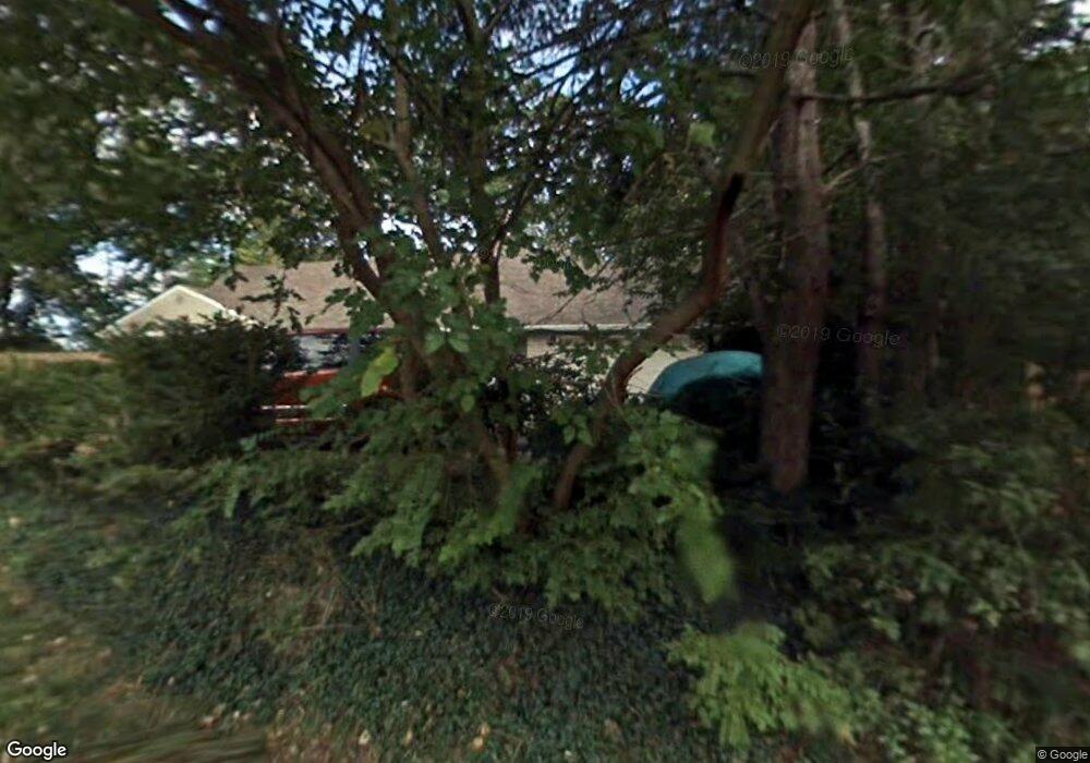
261 Elmwood Dr Mansfield, OH 44906
Estimated Value: $130,000 - $188,148
4
Beds
3
Baths
1,906
Sq Ft
$82/Sq Ft
Est. Value
About This Home
This home is located at 261 Elmwood Dr, Mansfield, OH 44906 and is currently estimated at $156,037, approximately $81 per square foot. 261 Elmwood Dr is a home located in Richland County with nearby schools including Goal Digital Academy, Mansfield Elective Academy, and Interactive Media & Construction (IMAC) Academy.
Ownership History
Date
Name
Owned For
Owner Type
Purchase Details
Closed on
Sep 19, 2019
Sold by
Pereira Sonequa K and Pereira Mauro G
Bought by
City Of Mansfield
Current Estimated Value
Purchase Details
Closed on
May 23, 2006
Sold by
Pereira Sonequa K and King Sonequa
Bought by
Pereira Sonequa K and Pereira Mauro G
Purchase Details
Closed on
Jan 29, 2002
Sold by
Federal Home Loan Mortgage Corporation
Bought by
King Sonequa
Purchase Details
Closed on
Aug 30, 2001
Sold by
Shrf Karen White Pr
Bought by
Firstmerit Mtg Corp
Purchase Details
Closed on
Oct 9, 1990
Create a Home Valuation Report for This Property
The Home Valuation Report is an in-depth analysis detailing your home's value as well as a comparison with similar homes in the area
Home Values in the Area
Average Home Value in this Area
Purchase History
| Date | Buyer | Sale Price | Title Company |
|---|---|---|---|
| City Of Mansfield | $85,000 | None Available | |
| Pereira Sonequa K | -- | None Available | |
| King Sonequa | $58,000 | -- | |
| Firstmerit Mtg Corp | $50,000 | -- | |
| -- | $54,500 | -- |
Source: Public Records
Tax History Compared to Growth
Tax History
| Year | Tax Paid | Tax Assessment Tax Assessment Total Assessment is a certain percentage of the fair market value that is determined by local assessors to be the total taxable value of land and additions on the property. | Land | Improvement |
|---|---|---|---|---|
| 2024 | -- | $20,000 | $7,300 | $12,700 |
| 2023 | $0 | $20,000 | $7,300 | $12,700 |
| 2022 | $945 | $16,060 | $6,640 | $9,420 |
| 2021 | $945 | $16,060 | $6,640 | $9,420 |
| 2020 | $945 | $16,060 | $6,640 | $9,420 |
| 2019 | $1,047 | $16,060 | $6,640 | $9,420 |
| 2018 | $1,033 | $16,060 | $6,640 | $9,420 |
| 2017 | $986 | $16,060 | $6,640 | $9,420 |
| 2016 | $965 | $14,950 | $6,300 | $8,650 |
| 2015 | $922 | $14,950 | $6,300 | $8,650 |
| 2014 | $910 | $14,950 | $6,300 | $8,650 |
| 2012 | $367 | $15,740 | $6,640 | $9,100 |
Source: Public Records
Map
Nearby Homes
- 914 W 4th St
- 237 Helen Ave
- 688 Mcpherson St
- 0 State Route 314 Unit 9067316
- 0 State Route 314 Unit 225021979
- 96 Helen Ave
- 611 Park Ave W
- 80 Rowland Ave
- 120 Gettings Place
- 955 Mcpherson St
- 21 Glenwood Blvd
- 41 Parkwood Blvd
- 24 Stewart Ave S
- 37 S Linden Rd
- 0 W Fourth St - Trimble Lenox
- 406 Sherman Place
- 71 Glenwood Blvd
- 340 Boston Ave
- 426 Mcpherson St
- 118 Parkwood Blvd