261 John Redding Rd Cedartown, GA 30125
Estimated Value: $273,000 - $297,000
3
Beds
2
Baths
1,832
Sq Ft
$155/Sq Ft
Est. Value
About This Home
This home is located at 261 John Redding Rd, Cedartown, GA 30125 and is currently estimated at $283,564, approximately $154 per square foot. 261 John Redding Rd is a home located in Polk County.
Ownership History
Date
Name
Owned For
Owner Type
Purchase Details
Closed on
Oct 2, 1987
Sold by
Hatch Brian L and Hatch Kim
Bought by
Short James and Short Regina
Current Estimated Value
Purchase Details
Closed on
Sep 9, 1987
Sold by
Strickland Katie M
Bought by
Hatch Bryan L and Hatch Kim
Purchase Details
Closed on
Jul 10, 1987
Sold by
Strickland Katie M
Bought by
Hatch Bryan L and Hatch Kim
Purchase Details
Closed on
Jul 11, 1986
Sold by
Benefield William C
Bought by
Strickland Katie M
Purchase Details
Closed on
Jun 16, 1986
Bought by
Benefield William C
Create a Home Valuation Report for This Property
The Home Valuation Report is an in-depth analysis detailing your home's value as well as a comparison with similar homes in the area
Home Values in the Area
Average Home Value in this Area
Purchase History
| Date | Buyer | Sale Price | Title Company |
|---|---|---|---|
| Short James | $5,800 | -- | |
| Hatch Bryan L | -- | -- | |
| Hatch Bryan L | $35,000 | -- | |
| Strickland Katie M | -- | -- | |
| Benefield William C | -- | -- |
Source: Public Records
Tax History Compared to Growth
Tax History
| Year | Tax Paid | Tax Assessment Tax Assessment Total Assessment is a certain percentage of the fair market value that is determined by local assessors to be the total taxable value of land and additions on the property. | Land | Improvement |
|---|---|---|---|---|
| 2024 | $1,853 | $90,664 | $12,361 | $78,303 |
| 2023 | $1,425 | $62,043 | $12,361 | $49,682 |
| 2022 | $1,157 | $50,755 | $8,241 | $42,514 |
| 2021 | $1,172 | $50,755 | $8,241 | $42,514 |
| 2020 | $1,174 | $50,755 | $8,241 | $42,514 |
| 2019 | $1,412 | $54,577 | $8,241 | $46,336 |
| 2018 | $1,462 | $55,057 | $8,241 | $46,816 |
| 2017 | $1,444 | $55,057 | $8,241 | $46,816 |
| 2016 | $1,388 | $53,020 | $9,172 | $43,848 |
| 2015 | $1,427 | $54,300 | $9,172 | $45,128 |
| 2014 | $1,465 | $55,300 | $9,172 | $46,128 |
Source: Public Records
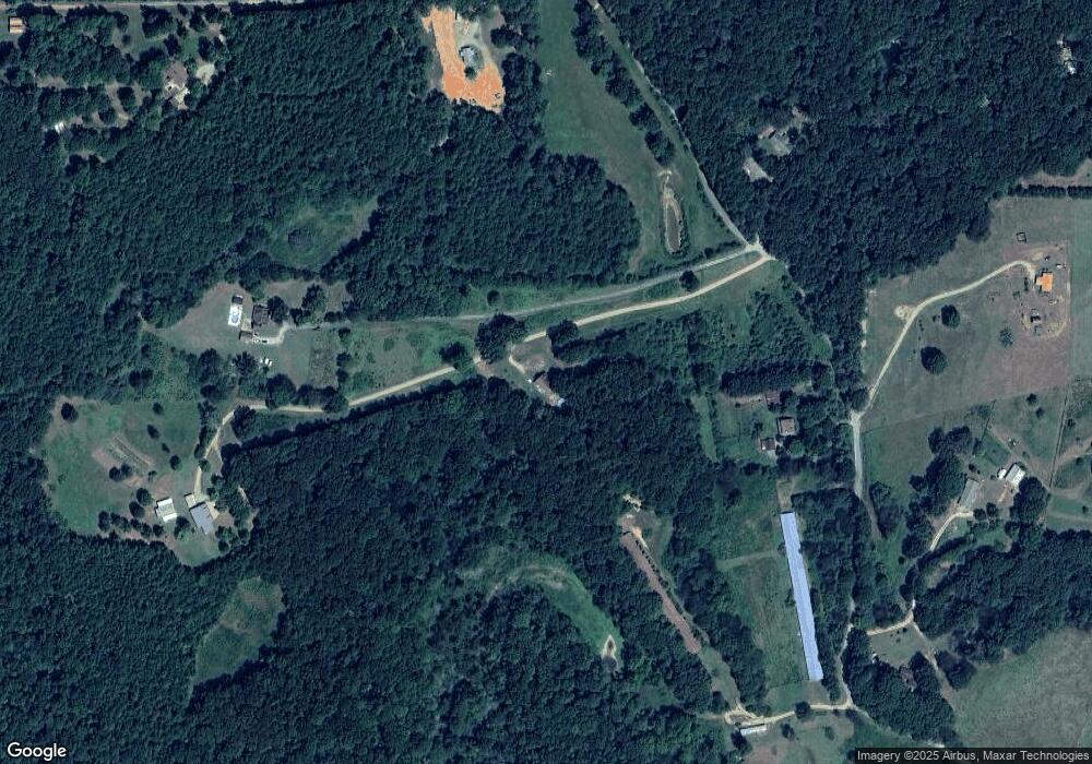
Map
Nearby Homes
- 148 Persons Rd
- 323 Mountain Home Rd
- 0 Mountain Home Rd Unit 1020-B 10351940
- 0 Mountain Home Rd Unit 1020-C 10351948
- 0 Mountain Home Rd Unit 1020-A 10351930
- 1849 Prior Station Rd Unit 77.57 ACRES
- 1849 Prior Station Rd
- 374 Seab Green Rd
- 424 Michael Blvd
- 383 Valley Grove Rd
- 1200 N Cave Spring St
- 0 Cave Spring Rd Unit 10631588
- 0 Cave Spring Rd Unit 7671027
- 820 Potash Rd
- 39 Summerwind Dr
- 35 Harris Loop
- 100 Lee Ave
- 208 Silverthorn Way
- 382 5th St
- 0 Old Potash Rd Unit 7675402
- 209 John Redding Rd
- 275 John Redding Rd
- 111 John Redding Rd
- 274 John Redding Rd
- 265 John Redding Rd
- 322 John Redding Rd
- 114 John Redding Rd
- 365 John Redding Rd
- 378 John Redding Rd
- 184 John Redding Rd
- 1034 Mountain Home Rd
- 1234 Mountain Home Rd
- 242 John Redding Rd
- 416 John Redding Rd
- 427 John Redding Rd
- 369 John Redding Rd
- 1162 Mountain Home Rd
- 1290 Mountain Home Rd
- 486 John Redding Rd
- 1025 Mountain Home Rd