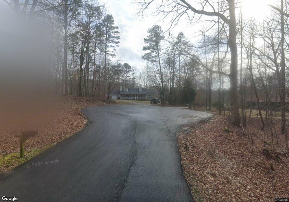
261 Joseph Ln Dawsonville, GA 30534
Dawson County NeighborhoodEstimated Value: $427,000 - $647,000
3
Beds
5
Baths
2,042
Sq Ft
$256/Sq Ft
Est. Value
About This Home
This home is located at 261 Joseph Ln, Dawsonville, GA 30534 and is currently estimated at $521,950, approximately $255 per square foot. 261 Joseph Ln is a home located in Dawson County with nearby schools including Robinson Elementary School, Dawson County Junior High School, and Dawson County Middle School.
Ownership History
Date
Name
Owned For
Owner Type
Purchase Details
Closed on
May 3, 2012
Sold by
Pruett Dawn J
Bought by
Pruett Jimmy S
Current Estimated Value
Purchase Details
Closed on
May 26, 1994
Sold by
Bryson Jimmy
Bought by
Pruett Jimmy S and Pruett Daw
Purchase Details
Closed on
Mar 22, 1988
Bought by
Bryson Jimmy
Create a Home Valuation Report for This Property
The Home Valuation Report is an in-depth analysis detailing your home's value as well as a comparison with similar homes in the area
Home Values in the Area
Average Home Value in this Area
Purchase History
| Date | Buyer | Sale Price | Title Company |
|---|---|---|---|
| Pruett Jimmy S | $30,000 | -- | |
| Pruett Jimmy S | $30,000 | -- | |
| Bryson Jimmy | -- | -- |
Source: Public Records
Tax History Compared to Growth
Tax History
| Year | Tax Paid | Tax Assessment Tax Assessment Total Assessment is a certain percentage of the fair market value that is determined by local assessors to be the total taxable value of land and additions on the property. | Land | Improvement |
|---|---|---|---|---|
| 2024 | $2,919 | $181,600 | $33,320 | $148,280 |
| 2023 | $2,921 | $195,600 | $33,320 | $162,280 |
| 2022 | $3,314 | $156,720 | $44,440 | $112,280 |
| 2021 | $3,196 | $143,240 | $44,440 | $98,800 |
| 2020 | $3,299 | $141,400 | $44,440 | $96,960 |
| 2019 | $3,157 | $134,280 | $44,440 | $89,840 |
| 2018 | $3,666 | $155,280 | $65,440 | $89,840 |
| 2017 | $2,208 | $94,309 | $30,200 | $64,109 |
| 2016 | $2,080 | $88,973 | $26,720 | $62,253 |
| 2015 | $2,147 | $88,973 | $26,720 | $62,253 |
| 2014 | $1,819 | $73,389 | $22,712 | $50,677 |
| 2013 | -- | $60,688 | $18,704 | $41,984 |
Source: Public Records
Map
Nearby Homes
- 8 Swanson St
- 42 Vickie Dr E
- 555 Perimeter Rd
- 282 Red Hawk Dr
- 198 Red Hawk Dr
- 87 Thorndale Ln
- 356 Orange Cir
- 66 Red Hawk Dr
- 57 Fausett Ln
- 53 Fausett Ln
- 19 Fausett Ln
- 378 Shoal Creek Rd
- 0 Afton #3 Rd
- 0 Dawsonville Unit 10577726
- 56 Allen St
- 0 Highway 53 Unit 10545668
- 0 Highway 53 Unit 10402225
- 0 Highway 53 Unit 7477129
- 47 Bent Ridge Dr S
- 251 Joseph Ln
- 258 Joseph Ln
- 231 Joseph Ln
- 175 Joseph Ln
- 228 Joseph Ln
- 167 Joseph Ln
- 60 Vickie Dr W
- 136 Goswick Dr
- 123 Goswick Dr
- 210 Joseph Ln
- 168 Joseph Ln
- 100 Vickie Dr W
- 0 Joseph Ln Unit 7434290
- 0 Joseph Ln
- 0 Vickie Dr Unit 8528039
- 0 Vickie Dr Unit 8174498
- 0 Vickie Dr Unit 3169694
- 0 Vickie Dr Unit 7469622
- 0 Vickie Dr Unit 7583567
- 0 Vickie Dr Unit 7629746