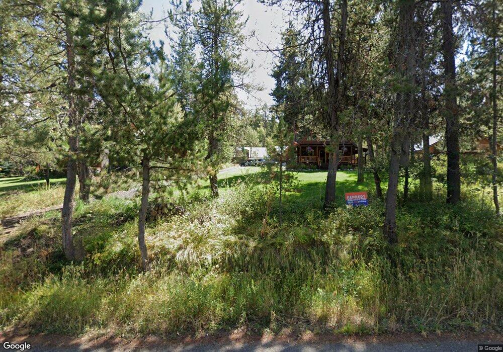
261 Moonridge Dr McCall, ID 83638
Estimated Value: $573,000 - $892,000
3
Beds
2
Baths
1,440
Sq Ft
$471/Sq Ft
Est. Value
About This Home
This home is located at 261 Moonridge Dr, McCall, ID 83638 and is currently estimated at $677,855, approximately $470 per square foot. 261 Moonridge Dr is a home located in Valley County with nearby schools including McCall-Donnelly High School.
Ownership History
Date
Name
Owned For
Owner Type
Purchase Details
Closed on
Aug 30, 2017
Sold by
Lee Kyong Bin
Bought by
Owens Benjamin Aubrey
Current Estimated Value
Home Financials for this Owner
Home Financials are based on the most recent Mortgage that was taken out on this home.
Original Mortgage
$256,500
Outstanding Balance
$213,798
Interest Rate
3.92%
Mortgage Type
New Conventional
Estimated Equity
$464,057
Purchase Details
Closed on
Jun 23, 2006
Sold by
Lee Hae Kyung and Lee Kyong Bin
Bought by
Lee Hae Kyung and Lee Kyong Bin
Purchase Details
Closed on
May 8, 2006
Sold by
Benesh Carol A
Bought by
Lee Hae Ktung and Lee Kyong Bin
Purchase Details
Closed on
Sep 15, 2005
Sold by
Mick Michael and Mick Shellie
Bought by
Benesh Carol
Home Financials for this Owner
Home Financials are based on the most recent Mortgage that was taken out on this home.
Original Mortgage
$274,500
Interest Rate
5.81%
Mortgage Type
New Conventional
Create a Home Valuation Report for This Property
The Home Valuation Report is an in-depth analysis detailing your home's value as well as a comparison with similar homes in the area
Home Values in the Area
Average Home Value in this Area
Purchase History
| Date | Buyer | Sale Price | Title Company |
|---|---|---|---|
| Owens Benjamin Aubrey | -- | First American Title Mccal | |
| Lee Hae Kyung | -- | -- | |
| Lee Hae Ktung | -- | -- | |
| Benesh Carol | -- | -- |
Source: Public Records
Mortgage History
| Date | Status | Borrower | Loan Amount |
|---|---|---|---|
| Open | Owens Benjamin Aubrey | $256,500 | |
| Previous Owner | Benesh Carol | $274,500 |
Source: Public Records
Tax History Compared to Growth
Tax History
| Year | Tax Paid | Tax Assessment Tax Assessment Total Assessment is a certain percentage of the fair market value that is determined by local assessors to be the total taxable value of land and additions on the property. | Land | Improvement |
|---|---|---|---|---|
| 2025 | $925 | $485,871 | $146,879 | $338,992 |
| 2023 | $925 | $513,574 | $183,598 | $329,976 |
| 2022 | $1,009 | $466,764 | $139,022 | $327,742 |
| 2021 | $913 | $318,918 | $49,241 | $269,677 |
| 2020 | $1,256 | $241,751 | $48,380 | $193,371 |
| 2019 | $1,267 | $229,823 | $43,982 | $185,841 |
| 2018 | $1,305 | $221,494 | $56,168 | $165,326 |
| 2017 | $1,299 | $192,434 | $44,008 | $148,426 |
| 2016 | $1,238 | $176,616 | $30,746 | $145,870 |
| 2015 | $613 | $166,356 | $0 | $0 |
| 2013 | -- | $154,462 | $0 | $0 |
Source: Public Records
Map
Nearby Homes
- TBD Moon Dr
- 269 Moon Dr
- 269 Moon Dr Unit 78
- 201 Brook Dr
- 28 Buckcamp Ln
- 86 Fawnlilly
- 86 Fawnlilly Unit 41
- 110 Fawnlilly
- 27 Evening Star Ct Unit 90
- 27 Evening Star Ct
- 16 Evening Star Ct Unit 97
- 16 Evening Star Ct
- 48 Fawnlilly Dr Unit 29
- 48 Fawnlilly Dr
- 6 Cranesbill Cir
- 11 Owleclover Ln
- 34 Fawnlilly Dr Unit 23
- 34 Fawnlilly Dr
- 32 Thunderbolt Place Unit 79
- Lot 76 Thunderbolt Place Unit 76
- 119 Cindy Ln
- 111 Cindy Ln
- 263 Moonridge Dr
- 125 Cindy Ln
- 75 Cindy Ln
- 120 Cindy Ln
- 126 Cindy Ln
- 267 Moonridge Dr
- 260 Moonridge Dr
- 155 Cindy Ln Unit 60-61
- 155 Cindy Ln
- 264 Moonridge Dr
- 255 Moonridge Dr
- 266 Moonridge Dr
- 130 Cindy Ln
- 135 Cindy Ln
- 258 Moonridge Dr
- 134 Cindy Ln
- 268 Moonridge Dr
- 277 Moonridge Dr