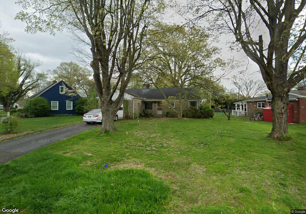
261 N Quentin Rd Newark, OH 43055
Estimated Value: $224,000 - $254,000
2
Beds
1
Bath
1,094
Sq Ft
$214/Sq Ft
Est. Value
About This Home
This home is located at 261 N Quentin Rd, Newark, OH 43055 and is currently estimated at $234,342, approximately $214 per square foot. 261 N Quentin Rd is a home located in Licking County with nearby schools including John Clem Elementary School, Liberty Middle School, and Newark High School.
Ownership History
Date
Name
Owned For
Owner Type
Purchase Details
Closed on
Apr 9, 2009
Sold by
Beattie Elizabeth M
Bought by
Hampton Paul
Current Estimated Value
Home Financials for this Owner
Home Financials are based on the most recent Mortgage that was taken out on this home.
Original Mortgage
$81,450
Outstanding Balance
$51,958
Interest Rate
5.11%
Mortgage Type
Unknown
Estimated Equity
$182,384
Create a Home Valuation Report for This Property
The Home Valuation Report is an in-depth analysis detailing your home's value as well as a comparison with similar homes in the area
Home Values in the Area
Average Home Value in this Area
Purchase History
| Date | Buyer | Sale Price | Title Company |
|---|---|---|---|
| Hampton Paul | $92,000 | Prosperity |
Source: Public Records
Mortgage History
| Date | Status | Borrower | Loan Amount |
|---|---|---|---|
| Open | Hampton Paul | $81,450 |
Source: Public Records
Tax History Compared to Growth
Tax History
| Year | Tax Paid | Tax Assessment Tax Assessment Total Assessment is a certain percentage of the fair market value that is determined by local assessors to be the total taxable value of land and additions on the property. | Land | Improvement |
|---|---|---|---|---|
| 2024 | $2,004 | $56,040 | $17,920 | $38,120 |
| 2023 | $2,000 | $56,040 | $17,920 | $38,120 |
| 2022 | $1,939 | $48,340 | $15,510 | $32,830 |
| 2021 | $2,033 | $48,340 | $15,510 | $32,830 |
| 2020 | $2,083 | $48,340 | $15,510 | $32,830 |
| 2019 | $1,707 | $38,190 | $11,940 | $26,250 |
| 2018 | $1,708 | $0 | $0 | $0 |
| 2017 | $1,561 | $0 | $0 | $0 |
| 2016 | $1,454 | $0 | $0 | $0 |
| 2015 | $1,486 | $0 | $0 | $0 |
| 2014 | $1,903 | $0 | $0 | $0 |
| 2013 | $1,490 | $0 | $0 | $0 |
Source: Public Records
Map
Nearby Homes
- 227 N Quentin Rd
- 370 Meadowbrook Dr
- 403 Meadowbrook Dr
- 52 Charles St
- 440 Reverie Place
- 542 Mount Vernon Rd
- 425 N 11th St
- 473 Meadowbrook Dr
- 27 E Channel St
- 544 Hudson Ave
- 467 Mount Vernon Rd
- 355 Eddy St
- 383 Central Ave
- 188 Meadow Dr
- 184 Meadow Dr
- 333 N 10th St
- 423 Hudson Ave
- 988 Mount Vernon Rd
- 584 Moull St Unit A
- 27 W North St
- 262 S Quentin Rd
- 247 N Quentin Rd
- 260 S Quentin Rd
- 236 S Quentin Rd
- 219 N Quentin Rd
- 226 S Quentin Rd
- 220 S Quentin Rd
- 260 N Quentin Rd
- 252 N Quentin Rd
- 265 S Quentin Rd
- 207 N Quentin Rd
- 251 S Quentin Rd
- 257 S Quentin Rd
- 245 S Quentin Rd
- 240 N Quentin Rd
- 246 N Quentin Rd
- 234 N Quentin Rd
- 202 S Quentin Rd
- 229 S Quentin Rd
- 197 N Quentin Rd