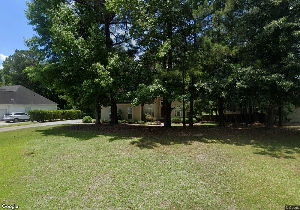
261 Northridge Dr Macon, GA 31220
Estimated Value: $253,000 - $274,000
3
Beds
2
Baths
1,792
Sq Ft
$145/Sq Ft
Est. Value
About This Home
This home is located at 261 Northridge Dr, Macon, GA 31220 and is currently estimated at $260,711, approximately $145 per square foot. 261 Northridge Dr is a home located in Bibb County with nearby schools including Heritage Elementary School, Weaver Middle School, and Westside High School.
Ownership History
Date
Name
Owned For
Owner Type
Purchase Details
Closed on
Apr 17, 2008
Sold by
Poole Anthony B and Poole Kristina F
Bought by
Larsen Timothy P
Current Estimated Value
Home Financials for this Owner
Home Financials are based on the most recent Mortgage that was taken out on this home.
Original Mortgage
$121,600
Outstanding Balance
$76,505
Interest Rate
5.84%
Mortgage Type
Unknown
Estimated Equity
$184,206
Purchase Details
Closed on
Apr 22, 2003
Bought by
Poole Anthony B and Poole Kristina F
Purchase Details
Closed on
Dec 19, 1997
Create a Home Valuation Report for This Property
The Home Valuation Report is an in-depth analysis detailing your home's value as well as a comparison with similar homes in the area
Home Values in the Area
Average Home Value in this Area
Purchase History
| Date | Buyer | Sale Price | Title Company |
|---|---|---|---|
| Larsen Timothy P | $152,000 | None Available | |
| Poole Anthony B | $145,900 | -- | |
| -- | $134,800 | -- |
Source: Public Records
Mortgage History
| Date | Status | Borrower | Loan Amount |
|---|---|---|---|
| Open | Larsen Timothy P | $121,600 |
Source: Public Records
Tax History Compared to Growth
Tax History
| Year | Tax Paid | Tax Assessment Tax Assessment Total Assessment is a certain percentage of the fair market value that is determined by local assessors to be the total taxable value of land and additions on the property. | Land | Improvement |
|---|---|---|---|---|
| 2024 | $2,133 | $90,992 | $12,000 | $78,992 |
| 2023 | $1,281 | $75,457 | $6,860 | $68,597 |
| 2022 | $1,933 | $62,826 | $6,468 | $56,358 |
| 2021 | $2,012 | $59,950 | $6,468 | $53,482 |
| 2020 | $1,810 | $53,624 | $6,468 | $47,156 |
| 2019 | $1,825 | $53,624 | $6,468 | $47,156 |
| 2018 | $2,802 | $50,736 | $5,880 | $44,856 |
| 2017 | $1,433 | $45,254 | $4,998 | $40,256 |
| 2016 | $1,323 | $45,254 | $4,998 | $40,256 |
| 2015 | $1,858 | $44,924 | $4,998 | $39,926 |
| 2014 | $2,015 | $48,069 | $5,292 | $42,777 |
Source: Public Records
Map
Nearby Homes
- 278 Northridge Dr
- 241 Northridge Dr
- 308 Mccleary Ln
- 305 Mccleary Ln
- 303 Mccleary Ln
- 304 Mccleary Ln
- 302 Mccleary Ln
- 202 Lochwolde Dr
- 242 York Ln
- 102 Fordham Ct
- 111 Fordham Ct
- 934 Waluhiyi Trail
- 2268 Unaliyi Trail
- 157 Greentree Pkwy
- 900 S Plantation Pkwy
- 2253 Unaliyi Trail
- 2186 Natsihi Trail
- 1137 N Plantation Pkwy
- 257 Northridge Dr
- 265 Northridge Dr
- 254 Northridge Dr
- 253 Northridge Dr
- 258 Northridge Dr
- 262 Northridge Dr
- 112 Sumter Ct
- 271 Northridge Dr
- 250 Northridge Dr
- 249 Northridge Dr
- 266 Northridge Dr
- 277 Northridge Dr
- 107 Sumter Ct
- 108 Sumter Ct
- 401 Badin Ct
- 270 Northridge Dr
- 245 Northridge Dr
- 285 Northridge Dr
- 274 Northridge Dr
- 103 Sumter Ct