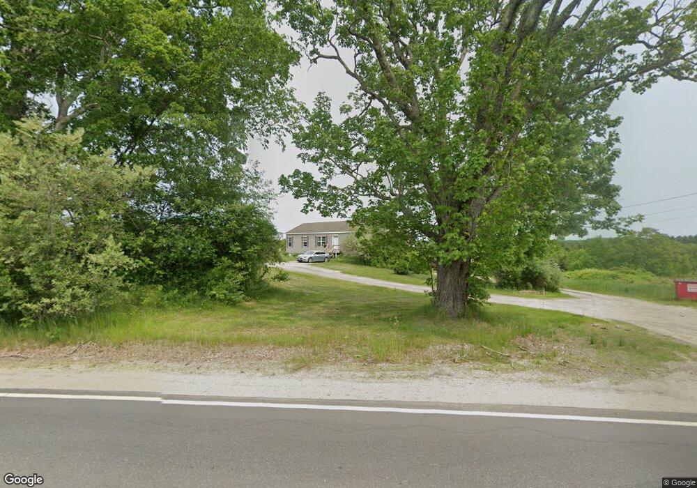
261 Post Rd Bowdoinham, ME 04008
Estimated Value: $431,000 - $565,000
3
Beds
2
Baths
1,620
Sq Ft
$310/Sq Ft
Est. Value
About This Home
This home is located at 261 Post Rd, Bowdoinham, ME 04008 and is currently estimated at $502,022, approximately $309 per square foot. 261 Post Rd is a home with nearby schools including Mt Ararat High School.
Ownership History
Date
Name
Owned For
Owner Type
Purchase Details
Closed on
Jul 15, 2022
Sold by
Hyde Randall D and Hyde Audrey C
Bought by
Hyde Brandon R and Hyde Ashley L
Current Estimated Value
Home Financials for this Owner
Home Financials are based on the most recent Mortgage that was taken out on this home.
Original Mortgage
$99,000
Outstanding Balance
$93,912
Interest Rate
5.09%
Mortgage Type
Purchase Money Mortgage
Estimated Equity
$408,110
Create a Home Valuation Report for This Property
The Home Valuation Report is an in-depth analysis detailing your home's value as well as a comparison with similar homes in the area
Home Values in the Area
Average Home Value in this Area
Purchase History
| Date | Buyer | Sale Price | Title Company |
|---|---|---|---|
| Hyde Brandon R | $110,000 | None Available | |
| Hyde Brandon R | $110,000 | None Available |
Source: Public Records
Mortgage History
| Date | Status | Borrower | Loan Amount |
|---|---|---|---|
| Open | Hyde Brandon R | $99,000 | |
| Closed | Hyde Brandon R | $99,000 |
Source: Public Records
Tax History
| Year | Tax Paid | Tax Assessment Tax Assessment Total Assessment is a certain percentage of the fair market value that is determined by local assessors to be the total taxable value of land and additions on the property. | Land | Improvement |
|---|---|---|---|---|
| 2025 | $6,390 | $289,000 | $91,700 | $197,300 |
| 2024 | $6,069 | $289,000 | $91,700 | $197,300 |
| 2023 | $5,636 | $289,000 | $91,700 | $197,300 |
| 2022 | $4,356 | $240,800 | $76,400 | $164,400 |
| 2021 | $4,029 | $237,400 | $76,400 | $161,000 |
| 2020 | $4,005 | $237,400 | $76,400 | $161,000 |
| 2019 | $3,910 | $237,400 | $76,400 | $161,000 |
| 2018 | $3,612 | $210,600 | $76,400 | $134,200 |
| 2017 | $3,549 | $210,600 | $76,400 | $134,200 |
| 2016 | $3,485 | $210,600 | $76,400 | $134,200 |
| 2015 | $3,464 | $210,600 | $76,400 | $134,200 |
| 2014 | $3,422 | $210,600 | $76,400 | $134,200 |
| 2013 | $3,245 | $210,700 | $76,400 | $134,300 |
Source: Public Records
Map
Nearby Homes
- 1 Cairn Hill Rd
- 83 Hemlock Hill Ln
- 0 White Rd
- 1524 Augusta Rd
- 36.5 Acres Augusta Rd
- 228 Carding MacHine Rd
- 10 Overlook Dr
- 142 Deer Run Rd
- 467 Bay Rd
- 83 Bowdoin Pines Rd Unit 83
- 258 Dingley Rd
- 75 Adams Landing Rd
- 0 Dingley Rd
- 286 John Tarr Rd
- 00 Skillings Dr
- 25 Evergreen Ln
- 27 Evergreen Ln
- 0 Norway Dr
- 79 S Pleasant St
- 852 River Rd
Your Personal Tour Guide
Ask me questions while you tour the home.