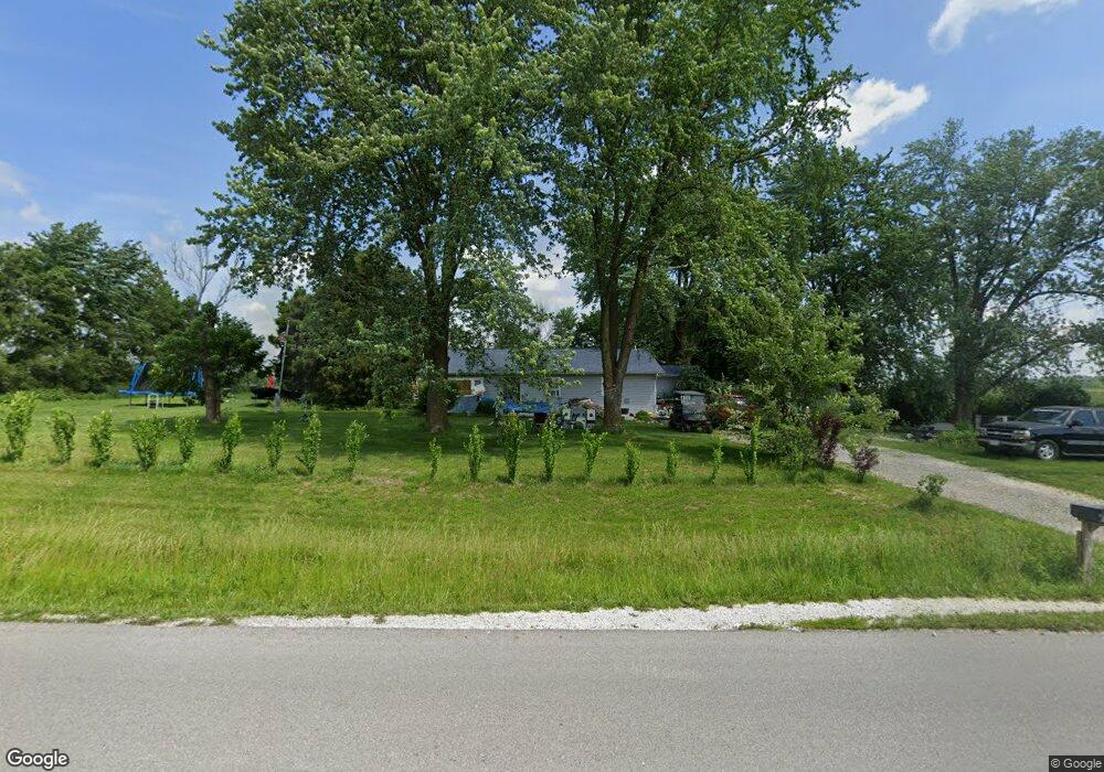
261 Prairie Rd Hawk Point, MO 63349
Estimated Value: $198,726 - $233,000
2
Beds
2
Baths
1,302
Sq Ft
$165/Sq Ft
Est. Value
About This Home
This home is located at 261 Prairie Rd, Hawk Point, MO 63349 and is currently estimated at $215,182, approximately $165 per square foot. 261 Prairie Rd is a home located in Lincoln County with nearby schools including Hawk Point Elementary School, Troy Middle School, and Troy Buchanan High School.
Ownership History
Date
Name
Owned For
Owner Type
Purchase Details
Closed on
Mar 8, 2010
Sold by
Davis Harold J and Davis Norma J
Bought by
Mckinney Sherry J and Mckinney Michael J
Current Estimated Value
Home Financials for this Owner
Home Financials are based on the most recent Mortgage that was taken out on this home.
Original Mortgage
$93,840
Outstanding Balance
$62,195
Interest Rate
4.98%
Mortgage Type
New Conventional
Estimated Equity
$152,987
Create a Home Valuation Report for This Property
The Home Valuation Report is an in-depth analysis detailing your home's value as well as a comparison with similar homes in the area
Purchase History
| Date | Buyer | Sale Price | Title Company |
|---|---|---|---|
| Mckinney Sherry J | -- | None Available |
Source: Public Records
Mortgage History
| Date | Status | Borrower | Loan Amount |
|---|---|---|---|
| Open | Mckinney Sherry J | $93,840 |
Source: Public Records
Tax History
| Year | Tax Paid | Tax Assessment Tax Assessment Total Assessment is a certain percentage of the fair market value that is determined by local assessors to be the total taxable value of land and additions on the property. | Land | Improvement |
|---|---|---|---|---|
| 2025 | $948 | $15,656 | $3,126 | $12,530 |
| 2024 | $917 | $14,868 | $2,945 | $11,923 |
| 2023 | $913 | $14,868 | $2,945 | $11,923 |
| 2022 | $872 | $14,299 | $2,945 | $11,354 |
| 2021 | $876 | $75,260 | $0 | $0 |
| 2020 | $771 | $67,360 | $0 | $0 |
| 2019 | $772 | $67,360 | $0 | $0 |
| 2018 | $733 | $12,006 | $0 | $0 |
| 2017 | $736 | $12,006 | $0 | $0 |
| 2016 | $627 | $10,028 | $0 | $0 |
| 2015 | $629 | $10,028 | $0 | $0 |
| 2014 | $637 | $10,140 | $0 | $0 |
| 2013 | -- | $10,140 | $0 | $0 |
Source: Public Records
Map
Nearby Homes
- 339 White Rd
- 4 Ashley Ln
- 8 Summers Breeze Ct
- 2 Country Ridge Trail
- 300 Shumard Oak Dr
- 804 Timber Creek Ct
- 401 Deep Forest Dr
- 113 Bridlespur Ct
- 64 Mocking Bird Ln
- 157 Denise Ct
- 0 Cedar Circle Ln Unit MIS25071955
- 65 Oak Valley Dr
- 456 Westridge Dr
- 459 Westridge Dr
- 39298 Winter St
- 816 N Rock Church Rd
- 38569 Canelos Farm Rd
- 0 Westridge Dr
- 45 Blue Line Ln
- 408 Westridge Dr
- 225 Prairie Rd
- 236 Prairie Rd
- 729 W Lincoln St
- 46 Stonegate Estates Dr
- 42 Stonegate Estates Dr
- 46 Stone Estates (Lot #14) Dr
- 10 Stonegate Estates Dr
- 0 Stonegate Estates Dr
- 109 Prairie Rd Unit 111
- 38 Stonegate Estates Dr
- 112 Prairie Rd
- 17 Lazy Dog Ln
- 47 Stonegate Estates Dr
- 198 Coon Creek Dr
- 388 Prairie Rd
- 105 Prairie Rd
- 102 Prairie Rd
- 866 Washington St
- 43 Stonegate Estates Dr
- 826 Washington St
Your Personal Tour Guide
Ask me questions while you tour the home.