261 Rag Rd Mocksville, NC 27028
Estimated Value: $263,000 - $342,000
3
Beds
2
Baths
1,632
Sq Ft
$193/Sq Ft
Est. Value
About This Home
This home is located at 261 Rag Rd, Mocksville, NC 27028 and is currently estimated at $315,687, approximately $193 per square foot. 261 Rag Rd is a home located in Davie County with nearby schools including Cornatzer Elementary School, William Ellis Middle School, and Davie County High School.
Ownership History
Date
Name
Owned For
Owner Type
Purchase Details
Closed on
May 30, 2024
Sold by
Speer Pamela Crotts and Crotts Pamela
Bought by
Connell Molly
Current Estimated Value
Purchase Details
Closed on
May 1, 1986
Create a Home Valuation Report for This Property
The Home Valuation Report is an in-depth analysis detailing your home's value as well as a comparison with similar homes in the area
Home Values in the Area
Average Home Value in this Area
Purchase History
| Date | Buyer | Sale Price | Title Company |
|---|---|---|---|
| Connell Molly | -- | None Listed On Document | |
| Connell Molly | -- | None Listed On Document | |
| -- | $2,500 | -- |
Source: Public Records
Tax History Compared to Growth
Tax History
| Year | Tax Paid | Tax Assessment Tax Assessment Total Assessment is a certain percentage of the fair market value that is determined by local assessors to be the total taxable value of land and additions on the property. | Land | Improvement |
|---|---|---|---|---|
| 2025 | $2,179 | $316,430 | $17,490 | $298,940 |
| 2024 | $1,333 | $172,460 | $12,740 | $159,720 |
| 2023 | $1,333 | $172,460 | $12,740 | $159,720 |
| 2022 | $1,333 | $172,460 | $12,740 | $159,720 |
| 2021 | $1,333 | $172,460 | $12,740 | $159,720 |
| 2020 | $1,264 | $162,530 | $12,740 | $149,790 |
| 2019 | $1,264 | $162,530 | $12,740 | $149,790 |
| 2018 | $1,264 | $162,530 | $12,740 | $149,790 |
| 2017 | $1,248 | $162,530 | $0 | $0 |
| 2016 | $1,284 | $167,200 | $0 | $0 |
| 2015 | $1,284 | $167,200 | $0 | $0 |
| 2014 | $1,104 | $167,200 | $0 | $0 |
| 2013 | -- | $167,200 | $0 | $0 |
Source: Public Records
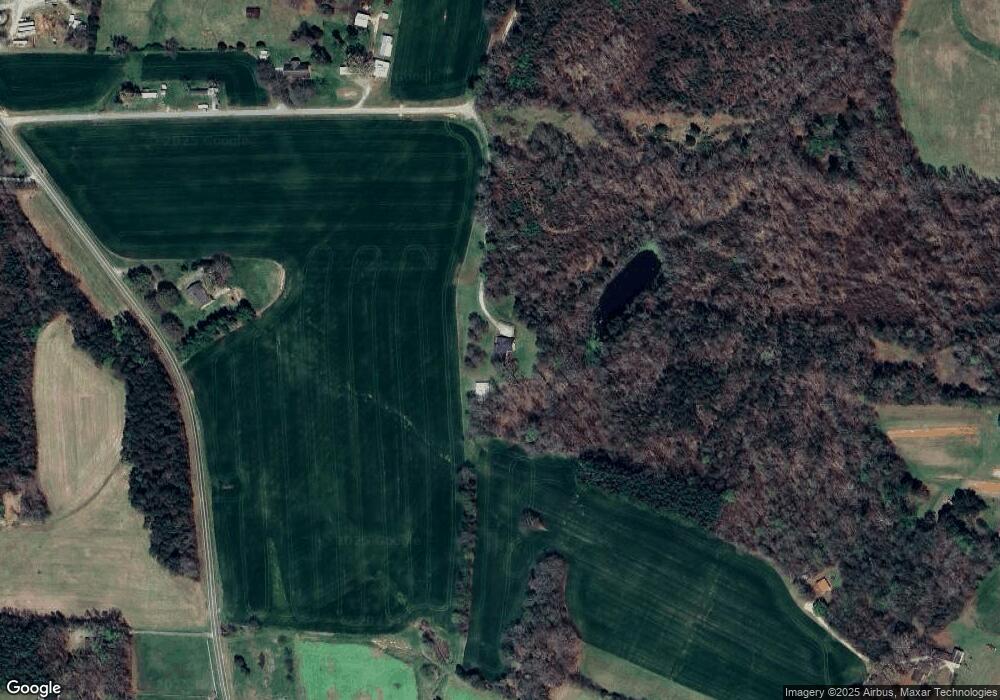
Map
Nearby Homes
- 0 N Carolina 801
- 916 Deadmon Rd
- 906 Deadmon Rd
- 898 Deadmon Rd
- 890 Deadmon Rd
- 882 Deadmon Rd
- 876 Deadmon Rd
- 718 Deadmon Rd
- 00 Everhart Rd
- 128 Meadowview Rd
- 130 Turrentine Church Rd
- 174 Eric Rd
- 174 Eric Rd Unit 12
- 0 U S Highway 601 S
- 232 Walt Wilson Rd
- 143 Reserve Dr
- 124 E Chinaberry Ct
- 114 Harness Ln
- 150 N Lake Louise Dr
- 157 Twin Cedars Dr Unit 3
- 1571 Deadmon Rd
- 000 Rag Rd
- 169 Rag Rd
- 1687 Deadmon Rd
- 1705 Deadmon Rd
- 1662 Deadmon Rd
- 117 Lancelot Ln
- 137 Williams Way
- 144 Williams Way
- 1532 Deadmon Rd
- 5882 Nc Highway 801 S
- 5866 Nc Highway 801 S
- 5940 Nc Highway 801 S
- 5858 Nc Highway 801 S
- 1680 Deadmon Rd
- 1516 Deadmon Rd
- 146 Moore Trail
- 5865 Nc Highway 801 S
- 5996 Nc Highway 801 S
- 5897 Nc Highway 801 S