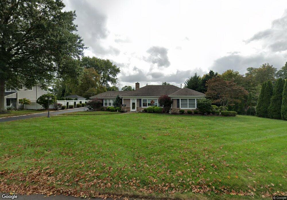
261 Rutledge Dr Red Bank, NJ 07701
New Monmouth NeighborhoodEstimated Value: $869,000 - $955,000
2
Beds
2
Baths
2,158
Sq Ft
$413/Sq Ft
Est. Value
About This Home
This home is located at 261 Rutledge Dr, Red Bank, NJ 07701 and is currently estimated at $892,022, approximately $413 per square foot. 261 Rutledge Dr is a home located in Monmouth County with nearby schools including Middletown Village Elementary School, Thompson Middle School, and Middletown High School North.
Ownership History
Date
Name
Owned For
Owner Type
Purchase Details
Closed on
Apr 5, 2021
Sold by
Garzino John N and Garzino Joanne
Bought by
Garzino John N and Garzino Joanne
Current Estimated Value
Purchase Details
Closed on
Aug 31, 2012
Sold by
Mazza Donna
Bought by
Zalinsky Matthew and Zalinsky Karen
Purchase Details
Closed on
Sep 8, 2006
Sold by
Mazza Thomas J
Bought by
Mazza Donna
Purchase Details
Closed on
Nov 30, 1995
Sold by
Conway Emily
Bought by
Mazza Thomas and Mazza Donna
Home Financials for this Owner
Home Financials are based on the most recent Mortgage that was taken out on this home.
Original Mortgage
$162,000
Interest Rate
7.31%
Create a Home Valuation Report for This Property
The Home Valuation Report is an in-depth analysis detailing your home's value as well as a comparison with similar homes in the area
Home Values in the Area
Average Home Value in this Area
Purchase History
| Date | Buyer | Sale Price | Title Company |
|---|---|---|---|
| Garzino John N | -- | None Available | |
| Garzino John N | -- | None Listed On Document | |
| Zalinsky Matthew | $435,000 | Old Republic National Title | |
| Mazza Donna | -- | -- | |
| Mazza Thomas | $180,000 | -- |
Source: Public Records
Mortgage History
| Date | Status | Borrower | Loan Amount |
|---|---|---|---|
| Previous Owner | Mazza Thomas | $162,000 |
Source: Public Records
Tax History Compared to Growth
Tax History
| Year | Tax Paid | Tax Assessment Tax Assessment Total Assessment is a certain percentage of the fair market value that is determined by local assessors to be the total taxable value of land and additions on the property. | Land | Improvement |
|---|---|---|---|---|
| 2025 | $10,839 | $760,000 | $466,000 | $294,000 |
| 2024 | $9,903 | $658,900 | $375,200 | $283,700 |
| 2023 | $9,903 | $569,800 | $345,900 | $223,900 |
| 2022 | $10,003 | $540,200 | $327,000 | $213,200 |
| 2021 | $10,003 | $480,900 | $291,300 | $189,600 |
| 2020 | $10,190 | $476,600 | $291,300 | $185,300 |
| 2019 | $10,285 | $487,000 | $291,300 | $195,700 |
| 2018 | $9,884 | $456,100 | $265,000 | $191,100 |
| 2017 | $9,562 | $450,200 | $265,000 | $185,200 |
| 2016 | $9,283 | $435,600 | $255,000 | $180,600 |
| 2015 | $9,285 | $402,600 | $255,000 | $147,600 |
| 2014 | $7,440 | $339,900 | $205,000 | $134,900 |
Source: Public Records
Map
Nearby Homes
- 0 Hamiltonian Dr Unit 22514980
- 20 Devon Rd
- 164 Heights Terrace
- 93 Twin Brooks Ave
- 35 Woodland Dr
- 11 Mayflower Dr
- 211 April Way Unit 211
- 304 April Way Unit 304
- 8 Allston St
- 7 Meehan Ct
- 24 Princeton St
- 74 Fish Hawk Dr
- 6 Waller Dr
- 10 Waller Dr
- 16 Waller Dr
- Hartshorne Plan at Middletown Walk
- 22 Waller Dr
- 58 Edmund Way
- 22 Edmund Way
- 93 Wallace Rd
- 269 Rutledge Dr
- 239 Rutledge Dr
- 215 Rutledge Dr
- 277 Rutledge Dr
- 256 Rutledge Dr
- 205 Rutledge Dr
- 264 Rutledge Dr
- 248 Rutledge Dr
- 487 Brook Rd
- 224 Rutledge Dr
- 216 Rutledge Dr
- 272 Rutledge Dr
- 232 Rutledge Dr
- 475 Brook Rd
- 280 Rutledge Dr
- 208 Rutledge Dr
- 197 Rutledge Dr
- 240 Rutledge Dr
- 200 Rutledge Dr
- 288 Rutledge Dr