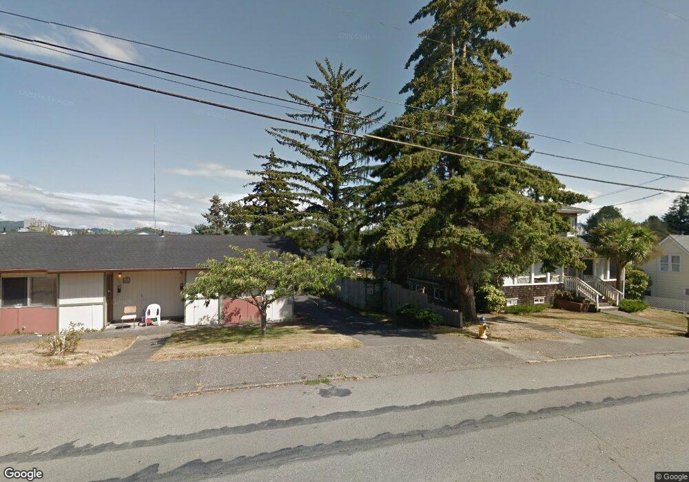
261 S 9th St Coos Bay, OR 97420
Estimated Value: $184,000 - $242,066
2
Beds
1
Bath
1,096
Sq Ft
$194/Sq Ft
Est. Value
About This Home
This home is located at 261 S 9th St, Coos Bay, OR 97420 and is currently estimated at $213,033, approximately $194 per square foot. 261 S 9th St is a home located in Coos County with nearby schools including Eastside School, Millicoma School, and Marshfield Senior High School.
Ownership History
Date
Name
Owned For
Owner Type
Purchase Details
Closed on
Jun 18, 2024
Sold by
Rachel Swenson Irrevocable Trust and Nelson Lori
Bought by
Lovie Dennis Francis and Lovie Eloise Marie
Current Estimated Value
Home Financials for this Owner
Home Financials are based on the most recent Mortgage that was taken out on this home.
Original Mortgage
$190,000
Outstanding Balance
$187,608
Interest Rate
7.09%
Mortgage Type
New Conventional
Estimated Equity
$25,425
Create a Home Valuation Report for This Property
The Home Valuation Report is an in-depth analysis detailing your home's value as well as a comparison with similar homes in the area
Home Values in the Area
Average Home Value in this Area
Purchase History
| Date | Buyer | Sale Price | Title Company |
|---|---|---|---|
| Lovie Dennis Francis | $180,000 | Ticor Title |
Source: Public Records
Mortgage History
| Date | Status | Borrower | Loan Amount |
|---|---|---|---|
| Open | Lovie Dennis Francis | $190,000 |
Source: Public Records
Tax History Compared to Growth
Tax History
| Year | Tax Paid | Tax Assessment Tax Assessment Total Assessment is a certain percentage of the fair market value that is determined by local assessors to be the total taxable value of land and additions on the property. | Land | Improvement |
|---|---|---|---|---|
| 2024 | $1,130 | $95,670 | -- | -- |
| 2023 | $1,613 | $92,890 | $0 | $0 |
| 2022 | $1,586 | $90,190 | $0 | $0 |
| 2021 | $1,545 | $87,570 | $0 | $0 |
| 2020 | $1,502 | $87,570 | $0 | $0 |
| 2019 | $1,442 | $82,550 | $0 | $0 |
| 2018 | $1,392 | $80,150 | $0 | $0 |
| 2017 | $1,234 | $77,820 | $0 | $0 |
| 2016 | $1,178 | $75,560 | $0 | $0 |
| 2015 | $1,118 | $73,360 | $0 | $0 |
| 2014 | $1,118 | $71,920 | $0 | $0 |
Source: Public Records
Map
Nearby Homes
- 1048 Elrod Ave
- 0 Elrod Ave
- 173 N 11th St
- 1231 Central Ave
- 731 Elrod Ave
- 625 S 9th St
- 790 Commercial Ave
- 539 S 12th St
- 643 S 12th Ct
- 1311 Central Ave
- 1381 Central Ave
- 620 N 9th St
- 560 N 10th St
- 0 N 9th St Unit 1600 22450966
- 0 S 5th St
- 834 S 11th St
- 831 S 11th St
- 780 N 10th St
- 905 Ingersoll St
- 1320 Ingersoll St
- 247 S 9th St
- 277 S 9th St
- 277 1/2 S 9th St
- 245 S 9th St
- 297 S 9th Ct
- 298 S 9th St
- 296 S 10th St
- 298 S 10th St
- 293 S 9th St
- 260 S 9th St
- 325 S 9th Ct
- 210 S 9th St
- 302 S 10th St
- 336 S 9th Ct
- 338 S 9th Ct
- 312 S 10th St
- 852-884 Anderson Street 190 & 192 South 9th St
- 845 Anderson Ave
- 299 S 10th St
- 327 S 9th Ct