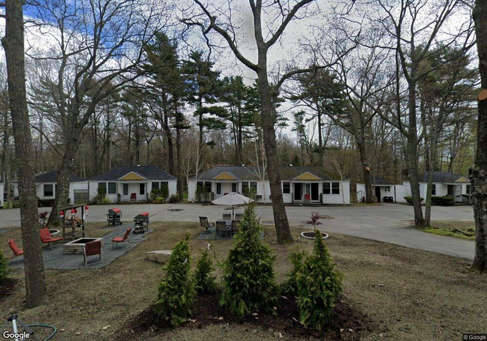
261 State Highway 3 Bar Harbor, ME 04609
Estimated Value: $515,000 - $579,000
3
Beds
1
Bath
1,155
Sq Ft
$470/Sq Ft
Est. Value
About This Home
This home is located at 261 State Highway 3, Bar Harbor, ME 04609 and is currently estimated at $542,709, approximately $469 per square foot. 261 State Highway 3 is a home located in Hancock County with nearby schools including Conners-Emerson School and Mt. Desert Island High School.
Ownership History
Date
Name
Owned For
Owner Type
Purchase Details
Closed on
Mar 2, 2023
Sold by
Gillis Michael T and Gillis Amy B
Bought by
Byer Jennifer
Current Estimated Value
Home Financials for this Owner
Home Financials are based on the most recent Mortgage that was taken out on this home.
Original Mortgage
$390,400
Outstanding Balance
$377,305
Interest Rate
6.15%
Mortgage Type
Purchase Money Mortgage
Estimated Equity
$165,404
Create a Home Valuation Report for This Property
The Home Valuation Report is an in-depth analysis detailing your home's value as well as a comparison with similar homes in the area
Home Values in the Area
Average Home Value in this Area
Purchase History
| Date | Buyer | Sale Price | Title Company |
|---|---|---|---|
| Byer Jennifer | -- | None Available |
Source: Public Records
Mortgage History
| Date | Status | Borrower | Loan Amount |
|---|---|---|---|
| Open | Byer Jennifer | $390,400 |
Source: Public Records
Tax History Compared to Growth
Tax History
| Year | Tax Paid | Tax Assessment Tax Assessment Total Assessment is a certain percentage of the fair market value that is determined by local assessors to be the total taxable value of land and additions on the property. | Land | Improvement |
|---|---|---|---|---|
| 2024 | $4,552 | $453,400 | $231,300 | $222,100 |
| 2023 | $3,936 | $453,400 | $231,300 | $222,100 |
| 2022 | $3,576 | $383,700 | $195,700 | $188,000 |
| 2021 | $3,396 | $348,700 | $177,900 | $170,800 |
| 2020 | $3,566 | $299,700 | $155,700 | $144,000 |
| 2019 | $3,531 | $298,000 | $154,600 | $143,400 |
| 2018 | $3,445 | $298,000 | $154,600 | $143,400 |
| 2017 | $3,266 | $298,000 | $154,600 | $143,400 |
| 2016 | $3,198 | $298,000 | $154,600 | $143,400 |
| 2015 | $3,156 | $298,000 | $154,600 | $143,400 |
| 2014 | $3,046 | $298,000 | $154,600 | $143,400 |
| 2012 | $2,932 | $298,000 | $154,600 | $143,400 |
Source: Public Records
Map
Nearby Homes
- 102 Degregoire Park Unit 2
- 55 Owls Nest Ln
- 2 Lookout Point Rd
- 18 Hamor Ln
- 10 Harbor Lights Rd
- 9 Byrnes Rd
- 118 Old Bar Harbor Rd
- 791 Lamoine Beach Rd
- Lot 001 Crooked Rd
- 98 Meadow Point Rd
- 782 Lamoine Beach Rd
- Lot #10 North Rd
- 71 Bay View Dr
- 694 Lamoine Beach Rd
- 28 Winding Brook Rd
- 29 Equity Ln
- 103 Marlboro Beach Rd
- 34 Frenchmans Hill E
- 11 Ocean Bridge Blvd
- M1 L81-11 Asa's Ln
- 261 State Highway 3
- 7 Day Lily Ln
- 8 Day Lily Ln
- 255 State Highway 3
- 7 Clover Ln
- 1-B Degregoire Park
- 6 Clover Ln
- 269 State Highway 3
- 11 Degregoire Park Rd
- 273 State Highway 3
- 254 State Highway 3
- 17 Sand Point Rd
- 260 State Highway 3
- Lot 7 Sand Point Rd
- Lot 5 Sand Point Rd
- 264 State Highway 3
- 1C Degregoire Park
- 1 Degregoire Park
- Lot 3 Sand Point Rd
- 1-A Degregoire Park