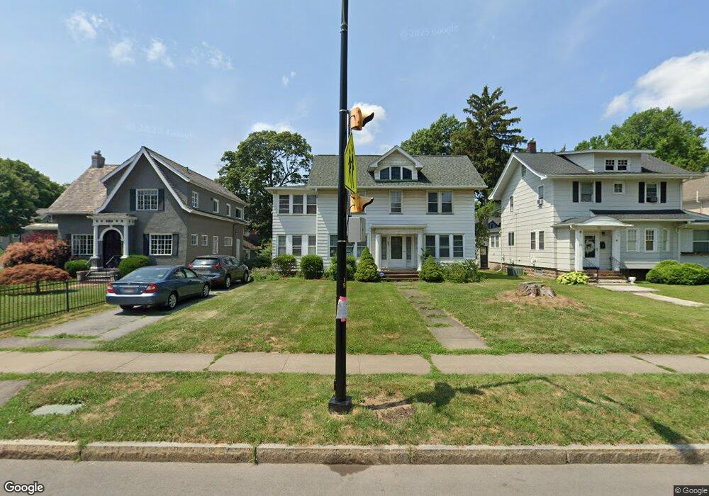
261 Thurston Rd Rochester, NY 14619
19th Ward NeighborhoodEstimated Value: $196,000 - $280,451
5
Beds
3
Baths
3,348
Sq Ft
$73/Sq Ft
Est. Value
About This Home
This home is located at 261 Thurston Rd, Rochester, NY 14619 and is currently estimated at $245,863, approximately $73 per square foot. 261 Thurston Rd is a home located in Monroe County with nearby schools including John Walton Spencer School No. 16, Adlai E. Stevenson School 29, and School 19 Dr Charles T Lunsford.
Ownership History
Date
Name
Owned For
Owner Type
Purchase Details
Closed on
Jun 25, 2009
Sold by
Niggli Susan A
Bought by
Colantoni Gabriele and Colantoni Elizabeth
Current Estimated Value
Home Financials for this Owner
Home Financials are based on the most recent Mortgage that was taken out on this home.
Original Mortgage
$3,000
Outstanding Balance
$1,920
Interest Rate
4.93%
Mortgage Type
Unknown
Estimated Equity
$243,943
Create a Home Valuation Report for This Property
The Home Valuation Report is an in-depth analysis detailing your home's value as well as a comparison with similar homes in the area
Home Values in the Area
Average Home Value in this Area
Purchase History
| Date | Buyer | Sale Price | Title Company |
|---|---|---|---|
| Colantoni Gabriele | $88,000 | None Available |
Source: Public Records
Mortgage History
| Date | Status | Borrower | Loan Amount |
|---|---|---|---|
| Open | Colantoni Gabriele | $3,000 | |
| Closed | Colantoni Gabriele | $80,000 |
Source: Public Records
Tax History Compared to Growth
Tax History
| Year | Tax Paid | Tax Assessment Tax Assessment Total Assessment is a certain percentage of the fair market value that is determined by local assessors to be the total taxable value of land and additions on the property. | Land | Improvement |
|---|---|---|---|---|
| 2024 | $2,348 | $229,700 | $11,800 | $217,900 |
| 2023 | $1,696 | $136,500 | $9,200 | $127,300 |
| 2022 | $1,760 | $136,500 | $9,200 | $127,300 |
| 2021 | $1,763 | $136,500 | $9,200 | $127,300 |
| 2020 | $1,446 | $136,500 | $9,200 | $127,300 |
| 2019 | $1,432 | $104,800 | $9,200 | $95,600 |
| 2018 | $2,595 | $104,800 | $9,200 | $95,600 |
| 2017 | $0 | $104,800 | $9,200 | $95,600 |
| 2016 | $1,432 | $104,800 | $9,200 | $95,600 |
| 2015 | $2,519 | $102,000 | $9,200 | $92,800 |
| 2014 | $2,519 | $102,000 | $9,200 | $92,800 |
Source: Public Records
Map
Nearby Homes
- 101 Roxborough Rd
- 119-121 Thurston Rd
- 51 Penhurst St
- 152 Inglewood Dr
- 91-97 Thurston Rd
- 56 Chili Terrace
- 127 Devonshire Ct
- 132-134 Salina St
- 3 Ravenwood Ave
- 469 Arnett Blvd
- 29-33 Westgate Terrace
- 64 Flanders St
- 66 Ringle St
- 564 Chili Ave
- 409 Arnett Blvd
- 96 Hillendale St
- 19 Hillendale St Unit 21
- 457-459 Chili Ave
- 485 Rugby Ave
- 111 Enterprise St Unit 113
- 253 Thurston Rd
- 275 Thurston Rd
- 22 Marlborough Rd
- 15 Inglewood Dr
- 21 Inglewood Dr
- 28 Marlborough Rd
- 5 Marlborough Rd
- 29 Inglewood Dr
- 34 Marlborough Rd
- 21 Marlborough Rd
- 38 Marlborough Rd
- 291 Thurston Rd
- 37 Inglewood Dr
- 27 Marlborough Rd
- 44 Marlborough Rd
- 33 Marlborough Rd
- 33 Marlborough Rd
- 43 Inglewood Dr
- 297 Thurston Rd Unit 299
- 297-299 Thurston Rd