261 Vermont Ave Somerset, MA 02726
Pottersville NeighborhoodEstimated Value: $528,000 - $537,000
3
Beds
2
Baths
1,600
Sq Ft
$333/Sq Ft
Est. Value
About This Home
This home is located at 261 Vermont Ave, Somerset, MA 02726 and is currently estimated at $533,296, approximately $333 per square foot. 261 Vermont Ave is a home located in Bristol County with nearby schools including North Elementary School, Somerset Middle School, and St. Michael's School.
Ownership History
Date
Name
Owned For
Owner Type
Purchase Details
Closed on
Jun 15, 2010
Sold by
Alves Scott and Alves Susan
Bought by
Alves Susan
Current Estimated Value
Purchase Details
Closed on
Jan 6, 2006
Sold by
Larrivee George A and Larrivee Gloria
Bought by
Alves Scott and Alves Susan
Home Financials for this Owner
Home Financials are based on the most recent Mortgage that was taken out on this home.
Original Mortgage
$265,000
Interest Rate
6.28%
Mortgage Type
Purchase Money Mortgage
Create a Home Valuation Report for This Property
The Home Valuation Report is an in-depth analysis detailing your home's value as well as a comparison with similar homes in the area
Home Values in the Area
Average Home Value in this Area
Purchase History
| Date | Buyer | Sale Price | Title Company |
|---|---|---|---|
| Alves Susan | -- | -- | |
| Alves Susan | -- | -- | |
| Alves Scott | $349,900 | -- | |
| Alves Scott | $349,900 | -- |
Source: Public Records
Mortgage History
| Date | Status | Borrower | Loan Amount |
|---|---|---|---|
| Open | Alves Scott | $264,865 | |
| Previous Owner | Alves Scott | $265,000 |
Source: Public Records
Tax History Compared to Growth
Tax History
| Year | Tax Paid | Tax Assessment Tax Assessment Total Assessment is a certain percentage of the fair market value that is determined by local assessors to be the total taxable value of land and additions on the property. | Land | Improvement |
|---|---|---|---|---|
| 2025 | $5,767 | $433,600 | $181,300 | $252,300 |
| 2024 | $5,376 | $420,300 | $181,300 | $239,000 |
| 2023 | $4,750 | $374,600 | $157,500 | $217,100 |
| 2022 | $4,396 | $330,800 | $136,100 | $194,700 |
| 2021 | $4,436 | $302,200 | $123,100 | $179,100 |
| 2020 | $4,470 | $293,700 | $123,200 | $170,500 |
| 2019 | $5,053 | $276,900 | $123,200 | $153,700 |
| 2018 | $4,343 | $256,100 | $119,400 | $136,700 |
| 2017 | $4,246 | $244,000 | $113,900 | $130,100 |
| 2016 | $4,272 | $244,000 | $113,900 | $130,100 |
| 2015 | $3,971 | $228,900 | $108,800 | $120,100 |
| 2014 | $5,499 | $227,700 | $105,600 | $122,100 |
Source: Public Records
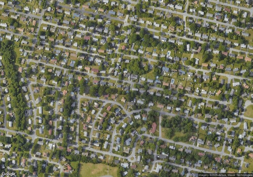
Map
Nearby Homes
- 279 Vermont Ave
- 243 Vermont Ave
- 270 Vermont Ave
- 250 Vermont Ave
- 225 Vermont Ave
- 232 Vermont Ave
- 237 Mohican Rd
- 410 Mount Hope Rd
- 217 Mohican Rd
- 295 Vermont Ave
- 214 Vermont Ave
- 207 Vermont Ave
- 394 Mount Hope Rd
- 10 Rounseville Ave
- 28 Rounseville Ave
- 391 Massachusetts Ave
- 198 Vermont Ave
- 423 Massachusetts Ave
- 197 Mohican Rd
- 375 Massachusetts Ave