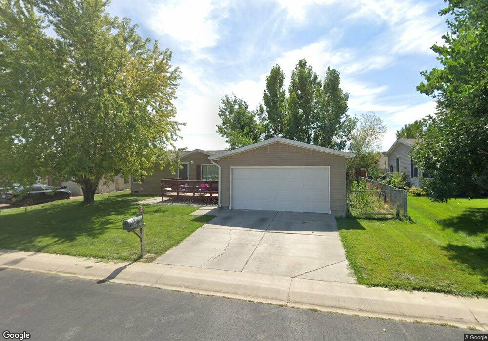
261 W 2050 S Vernal, UT 84078
Estimated Value: $261,000 - $310,000
3
Beds
2
Baths
1,293
Sq Ft
$219/Sq Ft
Est. Value
About This Home
This home is located at 261 W 2050 S, Vernal, UT 84078 and is currently estimated at $283,146, approximately $218 per square foot. 261 W 2050 S is a home located in Uintah County with nearby schools including Discovery School, Vernal Middle School, and Uintah Middle School.
Ownership History
Date
Name
Owned For
Owner Type
Purchase Details
Closed on
Apr 4, 2017
Sold by
Magee James I and Magee Betsi R
Bought by
Wasinger Benjamin David and Wasinger Crystal
Current Estimated Value
Purchase Details
Closed on
Feb 3, 2010
Sold by
Newhart William G
Bought by
Magee James I and Magee Betsi R
Purchase Details
Closed on
Mar 27, 2009
Sold by
Newhart Bernadine
Bought by
Newhart Bernadine and Newhart William G
Home Financials for this Owner
Home Financials are based on the most recent Mortgage that was taken out on this home.
Original Mortgage
$35,000
Interest Rate
4.79%
Mortgage Type
New Conventional
Create a Home Valuation Report for This Property
The Home Valuation Report is an in-depth analysis detailing your home's value as well as a comparison with similar homes in the area
Home Values in the Area
Average Home Value in this Area
Purchase History
| Date | Buyer | Sale Price | Title Company |
|---|---|---|---|
| Wasinger Benjamin David | -- | Sunrise Title | |
| Magee James I | -- | -- | |
| Newhart Bernadine | -- | -- | |
| Newhart Dernadine | -- | -- |
Source: Public Records
Mortgage History
| Date | Status | Borrower | Loan Amount |
|---|---|---|---|
| Previous Owner | Newhart Bernadine | $35,000 |
Source: Public Records
Tax History Compared to Growth
Tax History
| Year | Tax Paid | Tax Assessment Tax Assessment Total Assessment is a certain percentage of the fair market value that is determined by local assessors to be the total taxable value of land and additions on the property. | Land | Improvement |
|---|---|---|---|---|
| 2024 | $1,256 | $149,477 | $9,826 | $139,651 |
| 2023 | $1,256 | $110,297 | $9,654 | $100,643 |
| 2022 | $863 | $83,657 | $9,654 | $74,003 |
| 2021 | $890 | $70,813 | $9,654 | $61,159 |
| 2020 | $867 | $70,813 | $9,654 | $61,159 |
| 2019 | $774 | $62,464 | $11,000 | $51,464 |
| 2018 | $667 | $53,886 | $11,000 | $42,886 |
| 2017 | $7 | $53,886 | $11,000 | $42,886 |
| 2016 | $795 | $70,564 | $11,000 | $59,564 |
| 2015 | $732 | $70,564 | $11,000 | $59,564 |
| 2014 | $724 | $70,564 | $11,000 | $59,564 |
| 2013 | $710 | $67,728 | $11,000 | $56,728 |
Source: Public Records
Map
Nearby Homes
- 247 W 2050 S
- 275 W 2050 S
- 262 W 2100 S Unit 111
- 262 W 2100 S
- 276 W 2100 S
- 248 W 2100 S
- 248 W 2100 S Unit 110
- 260 W 2050 S
- 276 W 2050 S Unit 72
- 276 W 2050 S
- 289 W 2050 S
- 290 W 2100 S Unit 113
- 290 W 2100 S
- 230 W 2100 S
- 288 W 2050 S
- 259 W 2000 S
- 275 W 2000 S Unit 59
- 275 W 2000 S
- 259 W 2100 S
- 215 W 2050 S Unit 99