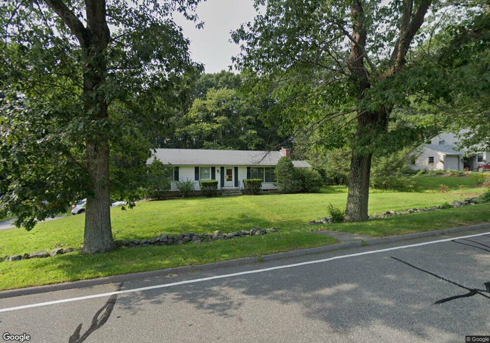
261 W Main St Westborough, MA 01581
Estimated Value: $609,151 - $686,000
3
Beds
2
Baths
1,300
Sq Ft
$488/Sq Ft
Est. Value
About This Home
This home is located at 261 W Main St, Westborough, MA 01581 and is currently estimated at $635,038, approximately $488 per square foot. 261 W Main St is a home located in Worcester County with nearby schools including Westborough High School, Ebridge Montessori School, and Westboro Knowledge Beginnings.
Create a Home Valuation Report for This Property
The Home Valuation Report is an in-depth analysis detailing your home's value as well as a comparison with similar homes in the area
Home Values in the Area
Average Home Value in this Area
Tax History Compared to Growth
Tax History
| Year | Tax Paid | Tax Assessment Tax Assessment Total Assessment is a certain percentage of the fair market value that is determined by local assessors to be the total taxable value of land and additions on the property. | Land | Improvement |
|---|---|---|---|---|
| 2025 | $8,269 | $507,600 | $329,700 | $177,900 |
| 2024 | $8,090 | $493,000 | $306,600 | $186,400 |
| 2023 | $7,721 | $458,500 | $290,700 | $167,800 |
| 2022 | $7,039 | $380,700 | $231,000 | $149,700 |
| 2021 | $6,591 | $355,500 | $205,800 | $149,700 |
| 2020 | $6,758 | $368,900 | $214,200 | $154,700 |
| 2019 | $6,326 | $345,100 | $214,200 | $130,900 |
| 2018 | $5,636 | $305,300 | $199,500 | $105,800 |
| 2017 | $5,434 | $305,300 | $199,500 | $105,800 |
| 2016 | $5,271 | $296,600 | $189,000 | $107,600 |
| 2015 | $5,452 | $293,300 | $189,000 | $104,300 |
Source: Public Records
Map
Nearby Homes
- 1 Benjamin Dr
- 29 Kay St
- 22 Capt Samuel Forbush Rd
- 71 Nourse St
- 30 Old Nourse St
- 17 Olde Hickory Path
- 41 Adams St
- 37 Libbey Ln
- 14 Nourse St
- 192 W Main St
- 10 Linda St
- LL39 Libbey Ln
- 12 Appleseed Dr
- LC3 Liberty Cir
- 9 Baldwin Ct
- 11 Quick Farm Rd
- 2 Libbey Ln
- 5 Blossom Ct Unit 5
- 49 Arch St Unit 2
- 64 Arch St