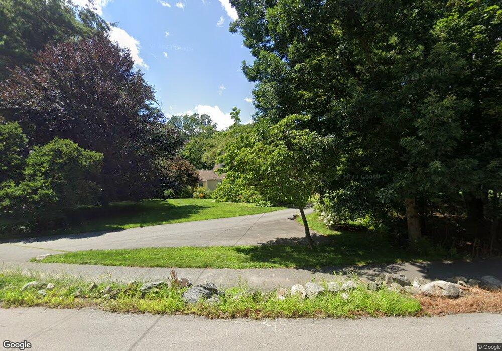
261 Willis Rd Sudbury, MA 01776
Estimated Value: $1,219,634 - $1,380,000
4
Beds
3
Baths
3,039
Sq Ft
$427/Sq Ft
Est. Value
About This Home
This home is located at 261 Willis Rd, Sudbury, MA 01776 and is currently estimated at $1,298,909, approximately $427 per square foot. 261 Willis Rd is a home located in Middlesex County with nearby schools including Josiah Haynes Elementary School, Ephraim Curtis Middle School, and Lincoln-Sudbury Regional High School.
Ownership History
Date
Name
Owned For
Owner Type
Purchase Details
Closed on
Jun 6, 2019
Sold by
Parte Aidan C and Ambler Jane E
Bought by
A C Parte & J E Ambler Ret
Current Estimated Value
Purchase Details
Closed on
Nov 28, 2007
Sold by
Murphy Melina M T and Murphy Stephen
Bought by
Parte Aidan C and Parte Amber Jane
Home Financials for this Owner
Home Financials are based on the most recent Mortgage that was taken out on this home.
Original Mortgage
$372,500
Interest Rate
6.48%
Mortgage Type
Purchase Money Mortgage
Purchase Details
Closed on
Jul 1, 1993
Sold by
Dohan J Lawrence and Dohan Elaine
Bought by
Murphy Stephen J and Murphy Melina M
Create a Home Valuation Report for This Property
The Home Valuation Report is an in-depth analysis detailing your home's value as well as a comparison with similar homes in the area
Home Values in the Area
Average Home Value in this Area
Purchase History
| Date | Buyer | Sale Price | Title Company |
|---|---|---|---|
| A C Parte & J E Ambler Ret | -- | -- | |
| A C Parte & J E Ambler Ret | -- | -- | |
| Parte Aidan C | $672,500 | -- | |
| Parte Aidan C | $672,500 | -- | |
| Murphy Stephen J | $318,000 | -- | |
| Murphy Stephen J | $318,000 | -- |
Source: Public Records
Mortgage History
| Date | Status | Borrower | Loan Amount |
|---|---|---|---|
| Previous Owner | Murphy Stephen J | $415,000 | |
| Previous Owner | Parte Aidan C | $372,500 | |
| Previous Owner | Murphy Stephen J | $79,400 |
Source: Public Records
Tax History
| Year | Tax Paid | Tax Assessment Tax Assessment Total Assessment is a certain percentage of the fair market value that is determined by local assessors to be the total taxable value of land and additions on the property. | Land | Improvement |
|---|---|---|---|---|
| 2025 | $14,742 | $1,007,000 | $461,300 | $545,700 |
| 2024 | $14,211 | $972,700 | $447,700 | $525,000 |
| 2023 | $14,559 | $923,200 | $414,500 | $508,700 |
| 2022 | $14,043 | $778,000 | $380,100 | $397,900 |
| 2021 | $13,471 | $715,400 | $380,100 | $335,300 |
| 2020 | $13,199 | $715,400 | $380,100 | $335,300 |
| 2019 | $12,394 | $692,000 | $380,100 | $311,900 |
| 2018 | $12,409 | $692,100 | $400,100 | $292,000 |
| 2017 | $11,891 | $670,300 | $395,300 | $275,000 |
| 2016 | $11,437 | $642,500 | $380,100 | $262,400 |
| 2015 | $10,741 | $610,300 | $350,700 | $259,600 |
| 2014 | $10,713 | $594,200 | $340,300 | $253,900 |
Source: Public Records
Map
Nearby Homes
- 55 Widow Rites Ln
- 45 Widow Rites Ln
- 111 Willis Rd
- 57 Longfellow Rd
- 45 Webster Cir
- 9 Oak Ridge Dr Unit 6
- 42 Dakin Rd
- 30 Harness Ln
- 31-33 Roosevelt St
- 15 Harness Ln
- 5 Hayes St Unit 5
- 62 Churchill St
- 15 Arthur St Unit 15
- 13 Arthur St Unit 15
- 2 Skyview Ln
- 28 Waltham St Unit A
- 26 Field Rd
- 24 Deer Path Unit 5
- 19 Deer Path Unit 5
- 557 Dutton Rd Unit 2