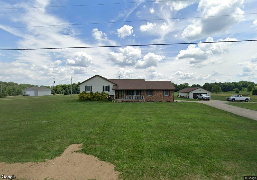
261 Wolf Rd Mansfield, OH 44903
Estimated Value: $328,000 - $345,981
3
Beds
3
Baths
1,856
Sq Ft
$182/Sq Ft
Est. Value
About This Home
This home is located at 261 Wolf Rd, Mansfield, OH 44903 and is currently estimated at $338,495, approximately $182 per square foot. 261 Wolf Rd is a home located in Richland County with nearby schools including Madison High School, St. Mary Catholic School, and Temple-Christian School.
Ownership History
Date
Name
Owned For
Owner Type
Purchase Details
Closed on
Jul 17, 2017
Sold by
Jaynes Steve E and Jaynes Debra L
Bought by
Savick Scott E and Savick Amy L
Current Estimated Value
Home Financials for this Owner
Home Financials are based on the most recent Mortgage that was taken out on this home.
Original Mortgage
$152,000
Outstanding Balance
$126,286
Interest Rate
3.89%
Mortgage Type
New Conventional
Estimated Equity
$212,209
Purchase Details
Closed on
May 21, 2012
Sold by
Vernon F Harp & Sons Inc
Bought by
Jaynes Steve E and Jaynes Debra L
Purchase Details
Closed on
Feb 1, 1995
Sold by
Vernon F Harp & Sons Inc
Bought by
Jaynes Steve E and Jaynes Debra L
Create a Home Valuation Report for This Property
The Home Valuation Report is an in-depth analysis detailing your home's value as well as a comparison with similar homes in the area
Home Values in the Area
Average Home Value in this Area
Purchase History
| Date | Buyer | Sale Price | Title Company |
|---|---|---|---|
| Savick Scott E | $160,000 | Barrister Title Group | |
| Jaynes Steve E | -- | Attorney | |
| Jaynes Steve E | $15,500 | -- |
Source: Public Records
Mortgage History
| Date | Status | Borrower | Loan Amount |
|---|---|---|---|
| Open | Savick Scott E | $152,000 |
Source: Public Records
Tax History Compared to Growth
Tax History
| Year | Tax Paid | Tax Assessment Tax Assessment Total Assessment is a certain percentage of the fair market value that is determined by local assessors to be the total taxable value of land and additions on the property. | Land | Improvement |
|---|---|---|---|---|
| 2024 | $4,285 | $84,720 | $11,700 | $73,020 |
| 2023 | $4,285 | $84,720 | $11,700 | $73,020 |
| 2022 | $3,383 | $61,600 | $9,300 | $52,300 |
| 2021 | $3,382 | $61,600 | $9,300 | $52,300 |
| 2020 | $3,408 | $61,600 | $9,300 | $52,300 |
| 2019 | $3,122 | $52,650 | $7,880 | $44,770 |
| 2018 | $3,095 | $52,650 | $7,880 | $44,770 |
| 2017 | $3,037 | $52,650 | $7,880 | $44,770 |
| 2016 | $3,000 | $50,790 | $7,690 | $43,100 |
| 2015 | $3,000 | $50,790 | $7,690 | $43,100 |
| 2014 | $2,940 | $50,790 | $7,690 | $43,100 |
| 2012 | $1,476 | $55,680 | $7,690 | $47,990 |
Source: Public Records
Map
Nearby Homes
- 2750 Lutz Ave
- 2641 State Route 430
- 0 Peterson Rd
- 609 Mcbride Rd
- 598 Impala Dr
- 0 McBride Road Parcel # 1 Unit 9066028
- 0 Satinwood Dr
- 630 Impala Dr
- 775 Touby Ln
- 2495 Emma Ln
- 640 Running Brook Way
- 2270 Lakecrest Dr Unit 2272
- 641 Laver Rd
- 76 Ford Rd N
- 76 Ford Rd N Unit 20
- 0 Mcelroy Rd
- 3290 Shad Dr W
- 304 Esley Ln
- 1910 Crider Rd
- 0 Mount Zion Rd Unit 9069748