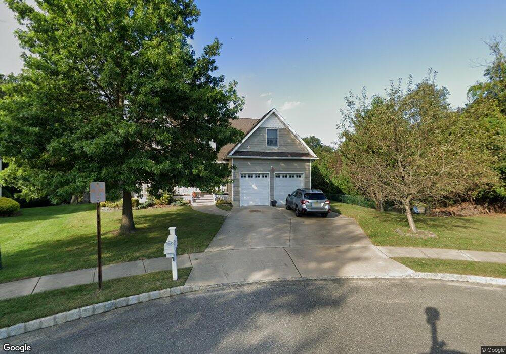
2610 Kipling Ave Spring Lake, NJ 07762
Estimated Value: $1,176,185 - $1,373,000
4
Beds
3
Baths
2,051
Sq Ft
$629/Sq Ft
Est. Value
About This Home
This home is located at 2610 Kipling Ave, Spring Lake, NJ 07762 and is currently estimated at $1,290,046, approximately $628 per square foot. 2610 Kipling Ave is a home located in Monmouth County with nearby schools including Wall High School and The Brookside School.
Ownership History
Date
Name
Owned For
Owner Type
Purchase Details
Closed on
May 16, 2002
Sold by
Kipling Woods Llc
Bought by
Jost Bryan and Jost Kristine
Current Estimated Value
Home Financials for this Owner
Home Financials are based on the most recent Mortgage that was taken out on this home.
Original Mortgage
$75,000
Interest Rate
6.79%
Create a Home Valuation Report for This Property
The Home Valuation Report is an in-depth analysis detailing your home's value as well as a comparison with similar homes in the area
Home Values in the Area
Average Home Value in this Area
Purchase History
| Date | Buyer | Sale Price | Title Company |
|---|---|---|---|
| Jost Bryan | $140,000 | -- |
Source: Public Records
Mortgage History
| Date | Status | Borrower | Loan Amount |
|---|---|---|---|
| Previous Owner | Jost Bryan | $75,000 |
Source: Public Records
Tax History
| Year | Tax Paid | Tax Assessment Tax Assessment Total Assessment is a certain percentage of the fair market value that is determined by local assessors to be the total taxable value of land and additions on the property. | Land | Improvement |
|---|---|---|---|---|
| 2025 | $12,516 | $584,300 | $299,300 | $285,000 |
| 2024 | $12,206 | $584,300 | $299,300 | $285,000 |
Source: Public Records
Map
Nearby Homes
- 1838 State Route 35 Unit 10
- 2419 Kipling Ave
- 1210 Xanadu Ln Unit A1210
- 1731 Grove St
- 809 Wall Rd
- 1726 M St
- 815 Woodcrest Dr
- 1813 World St
- 23 Locust Way
- 1431 Marconi Rd
- 1429 Marconi Rd
- 1644 Riverview Terrace
- 16 Cherry Ct
- 27 Apple Dr
- 1826 New Bedford Rd
- 939 Woodland Ave
- 420 Ludlow Ave
- 2005 Nassau Dr
- 1217 16th Ave
- 1805 Margerum Ave
- 2606 Kipling Ave
- 2611 Kipling Ave
- 2609 Kipling Ave
- 2604 Kipling Ave
- 2607 Kipling Ave
- 2602 Kipling Ave
- 2605 Kipling Ave
- 1820 New Jersey 35 Unit 46
- 1820 New Jersey 35 Unit 30
- 1820 New Jersey 35
- 1820 New Jersey 35 Unit 4
- 1820 New Jersey 35 Unit 29
- 1820 New Jersey 35 Unit 33
- 1820 New Jersey 35 Unit 40
- 1820 New Jersey 35 Unit 13
- 1820 New Jersey 35 Unit 28
- 1820 New Jersey 35 Unit 70
- 1820 New Jersey 35 Unit 35
- 1820 New Jersey 35 Unit 65
- 1820 New Jersey 35 Unit 11
Your Personal Tour Guide
Ask me questions while you tour the home.