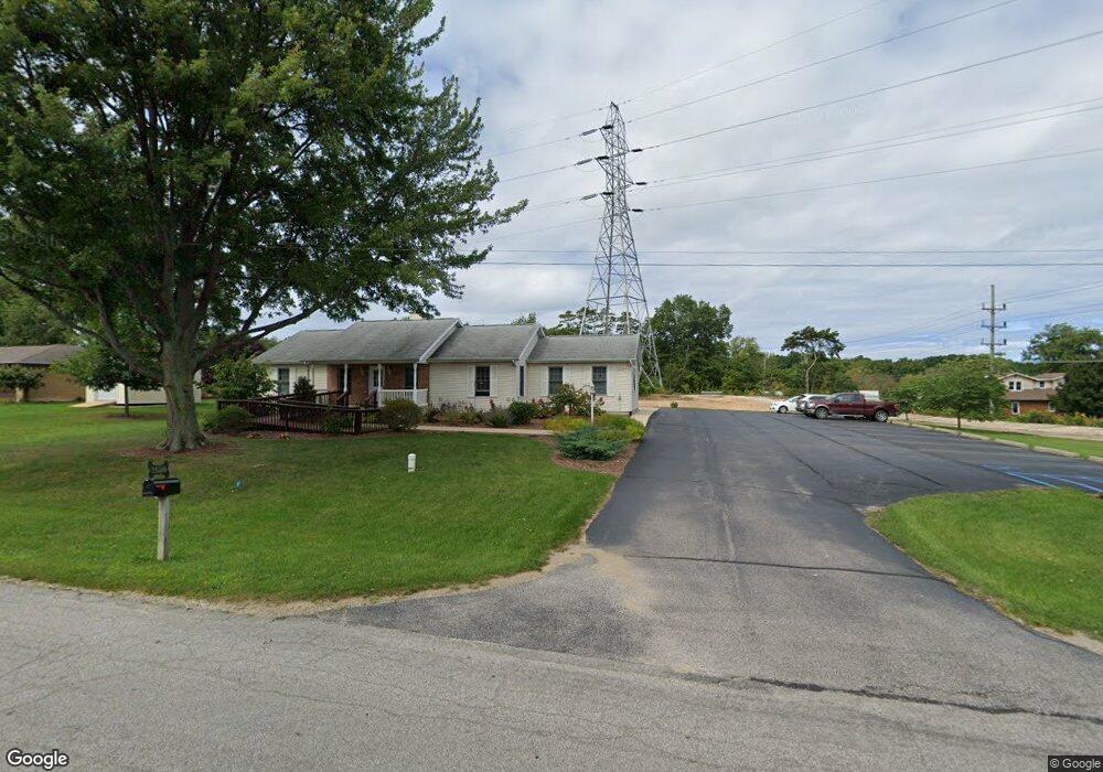
2610 N Trail Ln St. Joseph, MI 49085
Vineland NeighborhoodEstimated Value: $647,050
--
Bed
--
Bath
2,434
Sq Ft
$266/Sq Ft
Est. Value
About This Home
This home is located at 2610 N Trail Ln, St. Joseph, MI 49085 and is currently estimated at $647,050, approximately $265 per square foot. 2610 N Trail Ln is a home located in Berrien County with nearby schools including Upton Middle School, St. Joseph High School, and Trinity Lutheran School.
Ownership History
Date
Name
Owned For
Owner Type
Purchase Details
Closed on
May 4, 2009
Sold by
Imach Peter and Imach Jeanne
Bought by
Blesy Llc
Current Estimated Value
Home Financials for this Owner
Home Financials are based on the most recent Mortgage that was taken out on this home.
Original Mortgage
$125,500
Interest Rate
4.86%
Mortgage Type
Commercial
Purchase Details
Closed on
Aug 31, 1998
Purchase Details
Closed on
Dec 13, 1990
Create a Home Valuation Report for This Property
The Home Valuation Report is an in-depth analysis detailing your home's value as well as a comparison with similar homes in the area
Home Values in the Area
Average Home Value in this Area
Purchase History
| Date | Buyer | Sale Price | Title Company |
|---|---|---|---|
| Blesy Llc | $251,000 | Cti | |
| -- | $13,300 | -- | |
| -- | $13,000 | -- |
Source: Public Records
Mortgage History
| Date | Status | Borrower | Loan Amount |
|---|---|---|---|
| Previous Owner | Blesy Llc | $125,500 |
Source: Public Records
Tax History Compared to Growth
Tax History
| Year | Tax Paid | Tax Assessment Tax Assessment Total Assessment is a certain percentage of the fair market value that is determined by local assessors to be the total taxable value of land and additions on the property. | Land | Improvement |
|---|---|---|---|---|
| 2025 | $4,701 | $97,400 | $0 | $0 |
| 2024 | $3,603 | $97,400 | $0 | $0 |
| 2023 | $3,432 | $89,200 | $0 | $0 |
| 2022 | $3,532 | $91,800 | $0 | $0 |
| 2021 | $4,595 | $91,700 | $28,900 | $62,800 |
| 2020 | $4,987 | $102,900 | $0 | $0 |
| 2019 | $5,088 | $122,300 | $42,000 | $80,300 |
| 2018 | $5,348 | $122,300 | $0 | $0 |
| 2017 | $5,235 | $128,100 | $0 | $0 |
| 2016 | $5,136 | $136,600 | $0 | $0 |
| 2015 | $5,083 | $130,500 | $0 | $0 |
| 2014 | $4,064 | $121,300 | $0 | $0 |
Source: Public Records
Map
Nearby Homes
- V/L Niles Rd
- 2705 Oakwood Ln
- 2510 Bay Pointe Dr
- 2401 Bay Pointe Dr
- 2500 Bay Pointe Dr
- 944 Eagle Point Dr
- 924 Eagle Point Dr
- 2317 S Pointe Way Unit 5
- 2865 Carrie Ln
- 2469 Washington Ave
- 985 Jean Ann Dr
- 1050 Jean Ann Dr
- 2837 Washington Ave
- 1189 Lydia Dr
- 2841 Niles Rd
- 816 Saint Joseph Dr
- 649 Grant Ave
- Parcel 2-B Niles Road M-63
- 2699 Oakbrook Dr
- 1100 Highland Ave
- 2630 N Trail Ln
- 2642 N Trail Ln
- 2500 Niles Rd Unit 11
- 2500 Niles Rd Unit 9
- 2500 Niles Rd Unit 8
- 2500 Niles Rd Unit 10A
- 2500 Niles Rd
- 2500 Niles Rd Unit 7
- 2500 Niles Rd Unit 5
- 2654 N Trail Ln
- 1045 Lausman Dr
- 1001 Lausman Dr
- 2384 Niles Rd
- 1029 Lausman Dr
- 2666 N Trail Ln
- 989 Lausman Dr
- 2397 Niles Rd
- 983 Lausman Dr
- 18 S Royal Curve
- 17 S Royal Curve