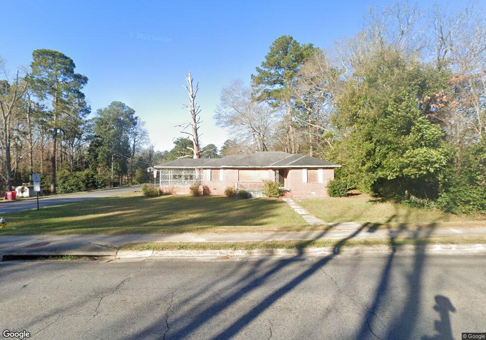
2610 New Clinton Rd Macon, GA 31211
Estimated Value: $90,000 - $114,000
3
Beds
1
Bath
1,297
Sq Ft
$80/Sq Ft
Est. Value
About This Home
This home is located at 2610 New Clinton Rd, Macon, GA 31211 and is currently estimated at $103,313, approximately $79 per square foot. 2610 New Clinton Rd is a home located in Bibb County with nearby schools including Martin Luther King Jr. Elementary School, Appling Middle School, and Northeast High School.
Ownership History
Date
Name
Owned For
Owner Type
Purchase Details
Closed on
Nov 16, 2020
Sold by
Wharton Steven
Bought by
Strain Bryan
Current Estimated Value
Purchase Details
Closed on
Dec 27, 2006
Sold by
The Bank Of New York
Bought by
Wharton Steven
Purchase Details
Closed on
Oct 3, 2006
Purchase Details
Closed on
Mar 2, 2000
Create a Home Valuation Report for This Property
The Home Valuation Report is an in-depth analysis detailing your home's value as well as a comparison with similar homes in the area
Home Values in the Area
Average Home Value in this Area
Purchase History
| Date | Buyer | Sale Price | Title Company |
|---|---|---|---|
| Strain Bryan | $25,000 | None Available | |
| Wharton Steven | $49,600 | None Available | |
| -- | $49,000 | -- | |
| Bank Of New York | $48,999 | None Avilabale | |
| -- | $73,000 | -- |
Source: Public Records
Tax History Compared to Growth
Tax History
| Year | Tax Paid | Tax Assessment Tax Assessment Total Assessment is a certain percentage of the fair market value that is determined by local assessors to be the total taxable value of land and additions on the property. | Land | Improvement |
|---|---|---|---|---|
| 2025 | $957 | $38,933 | $4,800 | $34,133 |
| 2024 | $871 | $34,288 | $3,000 | $31,288 |
| 2023 | $768 | $30,244 | $1,800 | $28,444 |
| 2022 | $581 | $16,771 | $3,148 | $13,623 |
| 2021 | $380 | $10,000 | $1,471 | $8,529 |
| 2020 | $530 | $13,643 | $2,008 | $11,635 |
| 2019 | $534 | $13,643 | $2,008 | $11,635 |
| 2018 | $998 | $13,643 | $2,008 | $11,635 |
| 2017 | $511 | $13,643 | $2,008 | $11,635 |
| 2016 | $471 | $13,618 | $2,008 | $11,610 |
| 2015 | $667 | $13,618 | $2,008 | $11,610 |
| 2014 | $1,036 | $18,401 | $2,920 | $15,481 |
Source: Public Records
Map
Nearby Homes
- 2792 Skyline Dr
- 2630 Pauladale Dr
- 2815 New Clinton Rd
- 2458 Tredway Dr
- 240 Neptune Ct
- 2557 Hyde Park Rd
- 2371 Kensington Rd
- 131 Sun Valley Dr
- 135 Sun Valley Dr
- 3154 Bethune Ave
- 2229 New Clinton Rd
- 2761 Walnut Creek Rd
- 3128 Commodore Dr
- 3048 Bethune Ave
- 2954 Tyler Place
- 2146 Melton Ave
- 2130 New Clinton Rd
- 3145 Pasadena Dr
- 699 Jasmine Dr
- 699 Jasmine Dr Unit C48
- 2176 Knightsbridge Rd
- 2590 New Clinton Rd
- 2168 Knightsbridge Rd
- 2646 New Clinton Rd
- 2621 New Clinton Rd
- 2173 Knightsbridge Rd
- 2160 Knightsbridge Rd
- 2580 New Clinton Rd
- 2691 Pauladale Dr
- 2683 Pauladale Dr
- 2615 New Clinton Rd
- 2653 New Clinton Rd
- 2230 Greenwood Dr
- 2585 New Clinton Rd
- 2152 Knightsbridge Rd
- 2675 Pauladale Dr
- 2157 Knightsbridge Rd
- 2144 Knightsbridge Rd
- 2166 Bayswater Rd
- 2667 Pauladale Dr