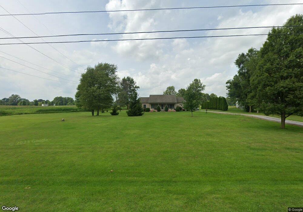
2610 Ostrander Rd Ostrander, OH 43061
Scioto NeighborhoodEstimated Value: $473,000 - $640,000
3
Beds
2
Baths
2,116
Sq Ft
$254/Sq Ft
Est. Value
About This Home
This home is located at 2610 Ostrander Rd, Ostrander, OH 43061 and is currently estimated at $538,299, approximately $254 per square foot. 2610 Ostrander Rd is a home located in Delaware County with nearby schools including Buckeye Valley High School.
Ownership History
Date
Name
Owned For
Owner Type
Purchase Details
Closed on
Sep 3, 2025
Sold by
Blankenship Dale W and Blankenship Donna J
Bought by
Blankenship Irrevocable Heritage Trust and Blankenship
Current Estimated Value
Purchase Details
Closed on
Jan 7, 2000
Sold by
Oaks Ernest L
Bought by
Blankenship Dale W and Blankenship Donna J
Purchase Details
Closed on
Oct 11, 1999
Sold by
Budde Joseph E
Bought by
Oakey Ernest L
Create a Home Valuation Report for This Property
The Home Valuation Report is an in-depth analysis detailing your home's value as well as a comparison with similar homes in the area
Home Values in the Area
Average Home Value in this Area
Purchase History
| Date | Buyer | Sale Price | Title Company |
|---|---|---|---|
| Blankenship Irrevocable Heritage Trust | -- | None Listed On Document | |
| Blankenship Dale W | $12,900 | -- | |
| Oakey Ernest L | $21,900 | -- |
Source: Public Records
Mortgage History
| Date | Status | Borrower | Loan Amount |
|---|---|---|---|
| Closed | Blankenship Dale W | -- |
Source: Public Records
Tax History Compared to Growth
Tax History
| Year | Tax Paid | Tax Assessment Tax Assessment Total Assessment is a certain percentage of the fair market value that is determined by local assessors to be the total taxable value of land and additions on the property. | Land | Improvement |
|---|---|---|---|---|
| 2024 | $4,457 | $134,760 | $21,180 | $113,580 |
| 2023 | $4,457 | $134,760 | $21,180 | $113,580 |
| 2022 | $3,662 | $98,640 | $15,510 | $83,130 |
| 2021 | $3,562 | $98,640 | $15,510 | $83,130 |
| 2020 | $3,583 | $98,640 | $15,510 | $83,130 |
| 2019 | $3,394 | $85,200 | $12,920 | $72,280 |
| 2018 | $3,456 | $85,200 | $12,920 | $72,280 |
| 2017 | $3,204 | $80,090 | $11,590 | $68,500 |
| 2016 | $3,052 | $80,090 | $11,590 | $68,500 |
| 2015 | $3,222 | $80,090 | $11,590 | $68,500 |
| 2014 | $3,027 | $80,090 | $11,590 | $68,500 |
| 2013 | $3,025 | $76,830 | $11,590 | $65,240 |
Source: Public Records
Map
Nearby Homes
- 0 Carr Rd Unit 225016840
- 3480 Ostrander Rd
- 311 Blue Ridge Ct
- 0 Burnt Pond Rd Unit Tract 1
- 0 Burnt Pond Rd Unit Tract 2
- 0 Burnt Pond Rd Unit Tract 4
- 0 Burnt Pond Rd Unit Tract 3
- 0 Burnt Pond Rd Unit Tract 5
- 188 Huston St
- 101 S Main St
- 0 Dean Rd Unit 225032132
- 0 Dean Rd Unit 225032131
- 0 E High St Unit Tract 1 225034753
- 0 E High St Unit Tract 4 225034758
- 0 E High St Unit Tract 3 225034757
- 10156 Marysville Rd
- 0 Delaware County Line Rd
- 1131 Ohio 257
- 5586 Taylor Rd
- 631 Tyler Rd
- 2606 Ostrander Rd
- 2580 Ostrander Rd
- 2589 Ostrander Rd
- 2683 Carr Rd
- 2626 Carr Rd
- 2791 Ostrander Rd
- 2765 Carr Rd
- 2338 Ostrander Rd
- 2122 Ostrander Rd
- 8383 Fontanelle Rd
- 520 Brayshaw Dr
- 529 Brayshaw Dr
- 496 Blues Creek Dr
- 522 Brayshaw Dr
- 524 Brayshaw Dr
- 526 Brayshaw Dr
- 528 Brayshaw Dr
- 532 Brayshaw Dr
- 540 Brayshaw Dr
- 538 Brayshaw Dr