2610 Red Gate Dr Doylestown, PA 18902
Estimated Value: $641,572 - $764,000
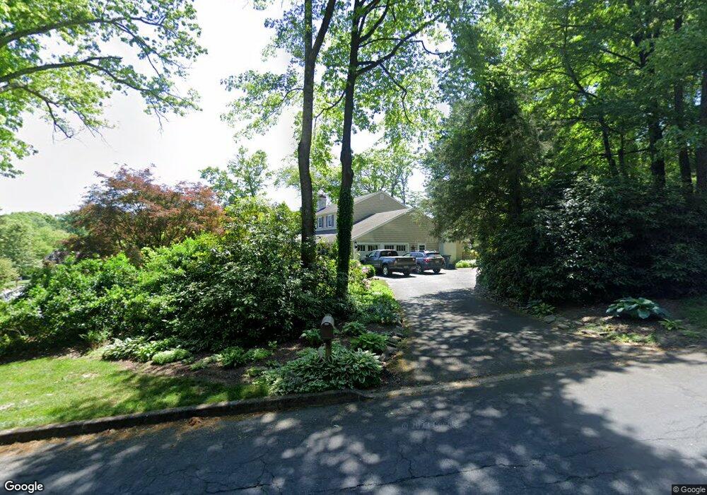
About This Home
This home is located at 2610 Red Gate Dr, Doylestown, PA 18902 and is currently estimated at $716,643, approximately $324 per square foot. 2610 Red Gate Dr is a home located in Bucks County with nearby schools including Buckingham Elementary School, Holicong Middle School, and Central Bucks High School - East.
Ownership History
We collect this data history from publicly available records. To have your information removed, we recommend requesting removal directly through your county’s website.
Purchase Details
Home Financials for this Owner
Home Financials are based on the most recent Mortgage that was taken out on this home.Purchase Details
Home Values in the Area
Average Home Value in this Area
Purchase History
We collect this data history from publicly available records. To have your information removed, we recommend requesting removal directly through your county’s website.
| Date | Buyer | Sale Price | Title Company |
|---|---|---|---|
| $230,000 | -- | ||
| $208,000 | -- |
Mortgage History
We collect this data history from publicly available records. To have your information removed, we recommend requesting removal directly through your county’s website.
| Date | Status | Borrower | Loan Amount |
|---|---|---|---|
| Open | $218,500 |
Tax History
We collect this data history from publicly available records. To have your information removed, we recommend requesting removal directly through your county’s website.
| Year | Tax Paid | Tax Assessment Tax Assessment Total Assessment is a certain percentage of the fair market value that is determined by local assessors to be the total taxable value of land and additions on the property. | Land | Improvement |
|---|---|---|---|---|
| 2026 | $7,421 | $43,520 | $8,440 | $35,080 |
| 2025 | $7,085 | $43,520 | $8,440 | $35,080 |
| 2024 | $7,085 | $43,520 | $8,440 | $35,080 |
| 2023 | $6,845 | $43,520 | $8,440 | $35,080 |
| 2022 | $6,763 | $43,520 | $8,440 | $35,080 |
| 2021 | $6,682 | $43,520 | $8,440 | $35,080 |
| 2020 | $6,682 | $43,520 | $8,440 | $35,080 |
| 2019 | $6,639 | $43,520 | $8,440 | $35,080 |
| 2018 | $6,639 | $43,520 | $8,440 | $35,080 |
| 2017 | $6,585 | $43,520 | $8,440 | $35,080 |
| 2016 | $6,650 | $43,520 | $8,440 | $35,080 |
| 2015 | -- | $43,520 | $8,440 | $35,080 |
| 2014 | -- | $43,520 | $8,440 | $35,080 |
Map
- 4612 Sands Way
- 2723 Mill Rd
- 2959 Burnt House Hill Rd
- 2885 Mill Rd
- 4203 Greenspire Ln
- 3870 York Rd
- 2090 Durham Rd
- 5025 Anderson Rd
- 3039 Durham Rd
- 3836 Taylortown Rd
- 3844 Springtown Rd
- 4757 Upper Mountain Rd
- 4853 Indigo Dr
- 4858 W Blossom Dr
- 4687 Woodfield Cir
- 3795 Route 202
- 2319 Forest Grove Rd
- 4919 Mechanicsville Rd
- 4831 Mountain Top Rd W Unit W
- 4009 Smoke Rd
- 4356 Angus Cir
- 2636 Red Gate Dr
- 4389 Angus Cir
- 2607 Red Gate Dr
- 2623 Red Gate Dr
- 2593 Red Gate Dr
- 4371 Angus Cir
- 2641 Red Gate Dr
- 4365 Angus Cir
- 4330 Angus Cir
- 4355 Angus Cir
- 2666 Red Gate Dr
- 4343 Angus Cir
- 2575 Red Gate Dr
- 2661 Red Gate Dr
- 4327 Angus Cir
- 4323 Angus Cir
- 2559 Red Gate Dr
- 2688 Red Gate Dr
- 2538 Red Gate Dr
Ask me questions while you tour the home.