2610 S State Route 377 Stockport, OH 43787
Estimated Value: $112,045 - $137,000
2
Beds
1
Bath
864
Sq Ft
$146/Sq Ft
Est. Value
About This Home
This home is located at 2610 S State Route 377, Stockport, OH 43787 and is currently estimated at $126,011, approximately $145 per square foot. 2610 S State Route 377 is a home located in Morgan County with nearby schools including Morgan High School.
Ownership History
Date
Name
Owned For
Owner Type
Purchase Details
Closed on
Nov 4, 2020
Sold by
Dearth Glen A and Dearth Edith C
Bought by
Jenne Orry I
Current Estimated Value
Purchase Details
Closed on
Sep 2, 2014
Sold by
Scher William J and Scher Mary J
Bought by
Scher William J and Scher Mary J
Purchase Details
Closed on
Mar 14, 2000
Sold by
Jenne Kevin T and Jenne Dixie L
Bought by
Dearth Glen A and Dearth Edith C
Purchase Details
Closed on
Dec 22, 1994
Sold by
Dearth Glen A and Dearth Edith C
Bought by
Jenne Kevin T and Jenne Dixie L
Purchase Details
Closed on
Mar 1, 1985
Create a Home Valuation Report for This Property
The Home Valuation Report is an in-depth analysis detailing your home's value as well as a comparison with similar homes in the area
Home Values in the Area
Average Home Value in this Area
Purchase History
| Date | Buyer | Sale Price | Title Company |
|---|---|---|---|
| Jenne Orry I | -- | None Available | |
| Scher William J | -- | None Available | |
| Wilson Glen Raymond | $20,000 | None Available | |
| Dearth Glen A | -- | -- | |
| Jenne Kevin T | -- | -- | |
| -- | $13,000 | -- |
Source: Public Records
Tax History Compared to Growth
Tax History
| Year | Tax Paid | Tax Assessment Tax Assessment Total Assessment is a certain percentage of the fair market value that is determined by local assessors to be the total taxable value of land and additions on the property. | Land | Improvement |
|---|---|---|---|---|
| 2024 | $850 | $25,630 | $3,260 | $22,370 |
| 2023 | $850 | $18,160 | $2,660 | $15,500 |
| 2022 | $604 | $18,160 | $2,660 | $15,500 |
| 2021 | $611 | $18,200 | $2,660 | $15,540 |
| 2019 | $568 | $16,570 | $2,420 | $14,150 |
| 2018 | $546 | $16,570 | $2,420 | $14,150 |
| 2017 | $519 | $15,330 | $2,093 | $13,237 |
| 2016 | $521 | $15,330 | $2,093 | $13,237 |
| 2015 | $521 | $15,365 | $2,093 | $13,272 |
| 2014 | $538 | $15,365 | $2,093 | $13,272 |
| 2013 | $535 | $15,365 | $2,093 | $13,272 |
Source: Public Records
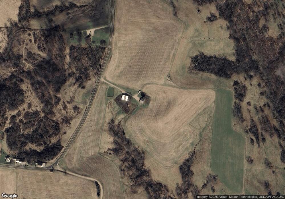
Map
Nearby Homes
- 0 Downing Rd
- 781 Downing Rd
- 1673 S State Route 377
- 681 Downing Rd
- 0 Benjamin Rd
- 643 Townsend Rd
- 3265 Tieber Rd
- 1715 South St
- 1770 Broadway St
- 160 N Riverview Rd
- 75 S River Rd SE
- 0 Meadow St Unit Lot 9 5158299
- 0 Meadow St Unit Lot 9 225008020
- 0 Coler Rd
- 1920 North St
- 1960 Broadway St
- 5174 Lightner Ridge Rd
- 7.38 acres County Road 13
- 3205 Goshen Run Rd
- 0 Upper Douda Rd Unit 225030416
- 3785 Ohio 377
- 0 Ohio 377 Unit 5094308
- 0 Ohio 377 Unit 4499632
- 0 Ohio 377
- 2529 S State Route 377
- 2795 S State Route 377
- 2795 Ohio 377
- 1330 Loper Ln
- 910 Ohio 266
- 2950 S State Route 377
- 2121 S State Route 377
- 1555 Loper Ln
- 500 W State Route 266
- 440 W State Route 266
- 1851 S State Route 377
- 460 W Shrivers Rd
- 800 Downing Rd
- 3795 State Route 377
- 805 Downing Rd
- 1800 South St