2610 W Saint Louis Bridge Rd Decatur, IL 62521
Estimated Value: $268,000 - $485,000
5
Beds
4
Baths
5,251
Sq Ft
$72/Sq Ft
Est. Value
About This Home
This home is located at 2610 W Saint Louis Bridge Rd, Decatur, IL 62521 and is currently estimated at $378,270, approximately $72 per square foot. 2610 W Saint Louis Bridge Rd is a home located in Macon County with nearby schools including South Shores Elementary School, Stephen Decatur Middle School, and Maranatha Christian Academy.
Ownership History
Date
Name
Owned For
Owner Type
Purchase Details
Closed on
Nov 15, 2019
Sold by
Riggs Michael E and Riggs Karen L
Bought by
Rathje David James
Current Estimated Value
Home Financials for this Owner
Home Financials are based on the most recent Mortgage that was taken out on this home.
Original Mortgage
$289,440
Outstanding Balance
$254,886
Interest Rate
3.65%
Mortgage Type
New Conventional
Estimated Equity
$123,384
Purchase Details
Closed on
May 1, 1998
Create a Home Valuation Report for This Property
The Home Valuation Report is an in-depth analysis detailing your home's value as well as a comparison with similar homes in the area
Home Values in the Area
Average Home Value in this Area
Purchase History
| Date | Buyer | Sale Price | Title Company |
|---|---|---|---|
| Rathje David James | $382,000 | None Available | |
| -- | $30,000 | -- |
Source: Public Records
Mortgage History
| Date | Status | Borrower | Loan Amount |
|---|---|---|---|
| Open | Rathje David James | $289,440 |
Source: Public Records
Tax History Compared to Growth
Tax History
| Year | Tax Paid | Tax Assessment Tax Assessment Total Assessment is a certain percentage of the fair market value that is determined by local assessors to be the total taxable value of land and additions on the property. | Land | Improvement |
|---|---|---|---|---|
| 2024 | $11,209 | $115,191 | $8,915 | $106,276 |
| 2023 | $9,503 | $96,746 | $8,915 | $87,831 |
| 2022 | $9,203 | $92,297 | $8,505 | $83,792 |
| 2021 | $8,606 | $87,805 | $8,091 | $79,714 |
| 2020 | $8,361 | $83,225 | $7,669 | $75,556 |
| 2019 | $8,361 | $83,225 | $7,669 | $75,556 |
| 2018 | $7,932 | $80,055 | $7,377 | $72,678 |
| 2017 | $7,772 | $79,309 | $7,308 | $72,001 |
| 2016 | $7,789 | $79,143 | $7,293 | $71,850 |
| 2015 | $7,306 | $76,838 | $7,081 | $69,757 |
| 2014 | $6,709 | $76,077 | $7,011 | $69,066 |
| 2013 | $5,038 | $76,077 | $7,011 | $69,066 |
Source: Public Records
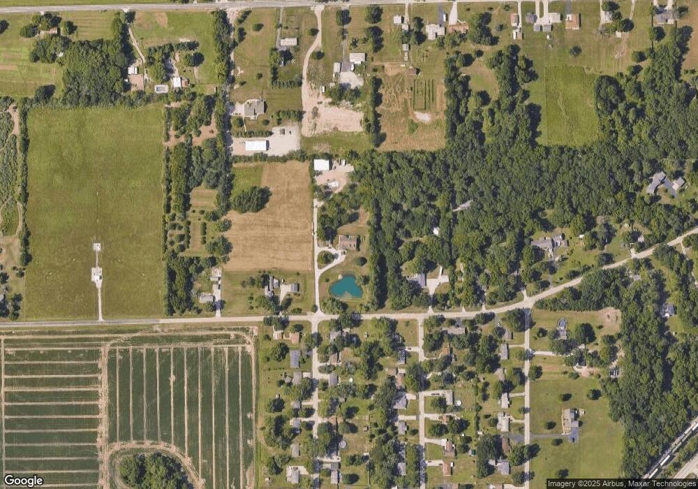
Map
Nearby Homes
- 2207 Forest Crest Dr
- 2529 W Alice Ln
- 1739 Moorwood Dr
- 15 Calumet Rd
- 2705 S Taylor Rd
- 2970 Olympia Dr
- 1740 S Fairview Ave
- 1833 Burning Tree Dr
- 3031 Heritage Rd
- 3316 Ferris Dr
- 345 S Westdale Ave
- 353 S Linden Ave
- 310 S Glencoe Ave
- 285 S Glencoe Ave
- 1745 Heritage Rd
- 248 S Linden Ave
- 215 S Glencoe Ave
- 214 S Linden Ave
- 231 S Redwood Ln
- 198 S Westdale Ave
- 2502 W Saint Louis Bridge Rd
- 2620 W Saint Louis Bridge Rd
- 2620 W Saint Louis Bridge Rd
- 2595 W Saint Louis Bridge Rd
- 2205 S File Dr
- 2214 S File Dr
- 2460 W Saint Louis Bridge Rd
- 2214 Baker Dr
- 2215 S File Dr
- 2224 S File Dr
- 2450 W Saint Louis Bridge Rd
- 2225 Baker Dr
- 2710 W Saint Louis Bridge Rd
- 2216 Baker Dr
- 2655 W Rock Springs Rd
- 2225 S File Dr
- 2230 S File Dr
- 2233 Baker Dr
- 2555 W Rock Springs Rd
- 2226 Baker Dr