2611 Buffalo Ridge Rd Como, CO 80432
Estimated Value: $594,000 - $801,000
2
Beds
2
Baths
1,204
Sq Ft
$596/Sq Ft
Est. Value
About This Home
This home is located at 2611 Buffalo Ridge Rd, Como, CO 80432 and is currently estimated at $717,017, approximately $595 per square foot. 2611 Buffalo Ridge Rd is a home with nearby schools including Edith Teter Elementary School, South Park Middle School, and South Park High School.
Ownership History
Date
Name
Owned For
Owner Type
Purchase Details
Closed on
Apr 3, 2021
Sold by
Williams Don K and Williams Lynnette P
Bought by
Don And Lynnette Williams Trust
Current Estimated Value
Purchase Details
Closed on
May 27, 2008
Sold by
Weidman Charles D
Bought by
Williams Don K and Williams Lynnette P
Create a Home Valuation Report for This Property
The Home Valuation Report is an in-depth analysis detailing your home's value as well as a comparison with similar homes in the area
Home Values in the Area
Average Home Value in this Area
Purchase History
| Date | Buyer | Sale Price | Title Company |
|---|---|---|---|
| Don And Lynnette Williams Trust | -- | None Available | |
| Williams Don K | $298,000 | None Available |
Source: Public Records
Tax History
| Year | Tax Paid | Tax Assessment Tax Assessment Total Assessment is a certain percentage of the fair market value that is determined by local assessors to be the total taxable value of land and additions on the property. | Land | Improvement |
|---|---|---|---|---|
| 2025 | $2,346 | $37,980 | $13,540 | $24,440 |
| 2024 | $2,634 | $46,260 | $12,780 | $33,480 |
| 2023 | $2,634 | $46,260 | $12,780 | $33,480 |
| 2022 | $2,139 | $32,890 | $9,995 | $22,895 |
| 2021 | $2,162 | $33,830 | $10,280 | $23,550 |
| 2020 | $1,632 | $24,860 | $7,200 | $17,660 |
| 2019 | $1,586 | $24,860 | $7,200 | $17,660 |
| 2018 | $1,417 | $24,860 | $7,200 | $17,660 |
| 2017 | $1,309 | $21,760 | $6,970 | $14,790 |
| 2016 | $1,309 | $23,060 | $7,630 | $15,430 |
| 2015 | $1,334 | $23,060 | $7,630 | $15,430 |
| 2014 | $1,414 | $0 | $0 | $0 |
Source: Public Records
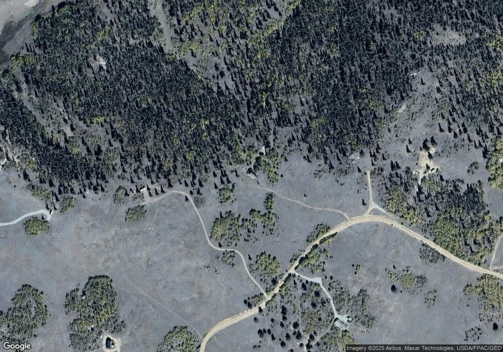
Map
Nearby Homes
- 2387 Buffalo Ridge Rd
- TBD382 Winchester Dr
- 00 Winchester Dr Unit 382
- 458 Remington Rd
- 6452 Remington Rd
- 3370 Remington Rd
- 28 Old Squaw Rd
- 1245 Winchester Dr
- 50 Rawhide Way Unit 28
- 28 Old Squaw Rd
- 258 Old Squaw Rd
- 4019 Buffalo Ridge Rd
- 6325 Remington Rd
- 305 Travois Ct
- 287 Mustang Trail
- 232 Smith Ct
- 538 Remington Rd
- 1404 Buffalo Ridge Rd
- 702 Pinto Trail
- 1310 Mcdowell Dr
- 2498 Buffalo Ridge Rd
- 5331 Remington Rd
- 3883 Buffalo Ridge Rd
- 24 Boreas Cir
- 5235 Remington Rd
- 3087 Buffalo Ridge Rd
- 5491 Remington Rd
- 5423 Remington Rd
- 5193 Remington Rd
- 5033 Remington Rd
- 1939 Longhorn Dr
- TBD Hornbill
- 81 Pistol Way
- 600 Pronghorn
- 2992 Buffalo Ridge Rd
- 2316 Buffalo Ridge Rd
- 92 Rifle Way
- 5033 Remington Rd
- 65 Dodo Ct
- 626 Pronghorn
Your Personal Tour Guide
Ask me questions while you tour the home.