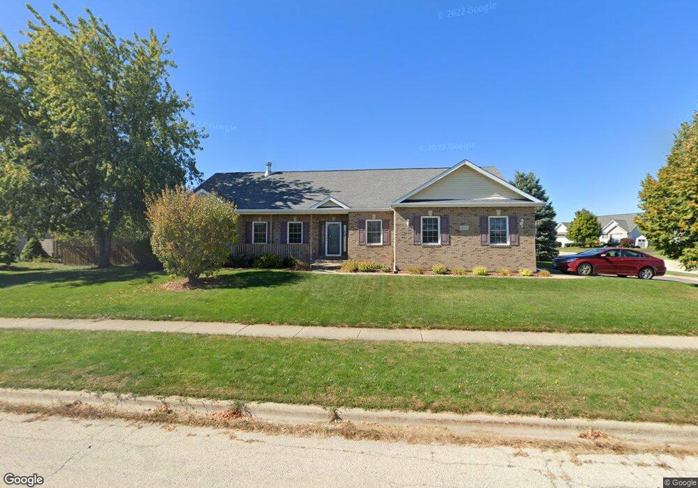
2611 Soros Ct Dekalb, IL 60115
Estimated Value: $308,460 - $385,000
3
Beds
3
Baths
1,900
Sq Ft
$183/Sq Ft
Est. Value
About This Home
This home is located at 2611 Soros Ct, Dekalb, IL 60115 and is currently estimated at $348,115, approximately $183 per square foot. 2611 Soros Ct is a home located in DeKalb County with nearby schools including Gwendolyn Brooks Elementary School, Clinton Rosette Middle School, and De Kalb High School.
Ownership History
Date
Name
Owned For
Owner Type
Purchase Details
Closed on
Mar 30, 2006
Sold by
Mcmaster Jerry B
Bought by
Scott Mark and Scott Cheryl
Current Estimated Value
Home Financials for this Owner
Home Financials are based on the most recent Mortgage that was taken out on this home.
Original Mortgage
$204,000
Outstanding Balance
$117,367
Interest Rate
6.38%
Mortgage Type
New Conventional
Estimated Equity
$230,748
Purchase Details
Closed on
Apr 8, 2005
Sold by
L & S Of Dekalb Llc
Bought by
Mcmaster Jerry B and Mcmaster Peggy A
Create a Home Valuation Report for This Property
The Home Valuation Report is an in-depth analysis detailing your home's value as well as a comparison with similar homes in the area
Home Values in the Area
Average Home Value in this Area
Purchase History
| Date | Buyer | Sale Price | Title Company |
|---|---|---|---|
| Scott Mark | $254,000 | -- | |
| Mcmaster Jerry B | -- | -- | |
| Mcmaster Jerry B | $50,000 | -- |
Source: Public Records
Mortgage History
| Date | Status | Borrower | Loan Amount |
|---|---|---|---|
| Open | Scott Mark | $204,000 |
Source: Public Records
Tax History Compared to Growth
Tax History
| Year | Tax Paid | Tax Assessment Tax Assessment Total Assessment is a certain percentage of the fair market value that is determined by local assessors to be the total taxable value of land and additions on the property. | Land | Improvement |
|---|---|---|---|---|
| 2024 | $6,322 | $98,195 | $13,176 | $85,019 |
| 2023 | $6,322 | $85,617 | $11,488 | $74,129 |
| 2022 | $6,803 | $78,167 | $13,110 | $65,057 |
| 2021 | $6,911 | $73,314 | $12,296 | $61,018 |
| 2020 | $7,046 | $72,145 | $12,100 | $60,045 |
| 2019 | $6,862 | $69,311 | $11,625 | $57,686 |
| 2018 | $6,637 | $66,961 | $11,231 | $55,730 |
| 2017 | $6,647 | $64,367 | $10,796 | $53,571 |
| 2016 | $6,558 | $62,742 | $10,523 | $52,219 |
| 2015 | -- | $59,449 | $9,971 | $49,478 |
| 2014 | -- | $50,049 | $12,693 | $37,356 |
| 2013 | -- | $52,573 | $13,333 | $39,240 |
Source: Public Records
Map
Nearby Homes
- 1275 Penny Ln
- 919 Greenbrier Rd
- 1212 Loren Dr
- 1206 University Dr
- 582 W Dresser Rd
- 628 High Terrace
- 701 Blackstone Ct
- 3323 Comstock Ave
- 3428 Comstock Ave
- 10179 Rich Rd
- 2820 N 1st St
- 345 Augusta Ave
- 301 River Dr
- 501 College Ave
- 113 Andresen Ct
- 1548 Moluf St
- 1289 Ivy St
- 114 Joanne Ln
- 717 N 1st St
- 416 College Ave
- 1360 Omega Circle Dr
- 2595 Soros Ct
- 1384 Omega Circle Dr
- 1318 Omega Circle Dr
- 2589 Soros Ct
- 2604 Soros Ct
- 1343 Omega Circle Dr
- 1355 Omega Circle Dr
- 1388 Omega Circle Dr
- 1327 Omega Circle Dr
- 2592 Soros Ct
- 1363 Omega Circle Dr
- 2581 Soros Ct
- 1315 Omega Circle Dr
- 1304 Omega Circle Dr
- 1392 Omega Circle Dr
- 1369 Omega Circle Dr
- 2583 Soros Ct
- 1307 Omega Circle Dr
- 1294 Omega Circle Dr