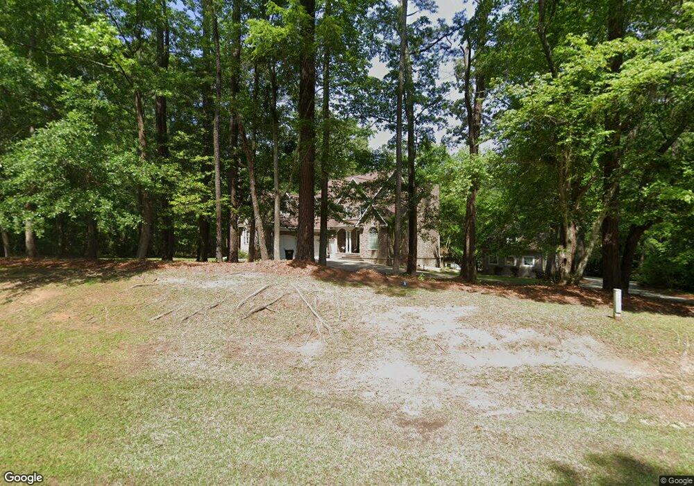
2611 Stokes Cir Kinston, NC 28504
Estimated Value: $435,000 - $570,000
3
Beds
4
Baths
3,983
Sq Ft
$122/Sq Ft
Est. Value
About This Home
This home is located at 2611 Stokes Cir, Kinston, NC 28504 and is currently estimated at $486,911, approximately $122 per square foot. 2611 Stokes Cir is a home located in Lenoir County with nearby schools including Banks Elementary School, E.B. Frink Middle School, and North Lenoir High School.
Ownership History
Date
Name
Owned For
Owner Type
Purchase Details
Closed on
Aug 28, 2012
Sold by
Mcnabb Nolan and Mcnabb Melissa
Bought by
Shah Shiraz A and Smith Natasha N
Current Estimated Value
Home Financials for this Owner
Home Financials are based on the most recent Mortgage that was taken out on this home.
Original Mortgage
$244,000
Outstanding Balance
$162,543
Interest Rate
2.87%
Mortgage Type
Adjustable Rate Mortgage/ARM
Estimated Equity
$324,368
Create a Home Valuation Report for This Property
The Home Valuation Report is an in-depth analysis detailing your home's value as well as a comparison with similar homes in the area
Home Values in the Area
Average Home Value in this Area
Purchase History
| Date | Buyer | Sale Price | Title Company |
|---|---|---|---|
| Shah Shiraz A | $305,000 | None Available |
Source: Public Records
Mortgage History
| Date | Status | Borrower | Loan Amount |
|---|---|---|---|
| Open | Shah Shiraz A | $244,000 |
Source: Public Records
Tax History Compared to Growth
Tax History
| Year | Tax Paid | Tax Assessment Tax Assessment Total Assessment is a certain percentage of the fair market value that is determined by local assessors to be the total taxable value of land and additions on the property. | Land | Improvement |
|---|---|---|---|---|
| 2025 | $4,111 | $567,493 | $33,355 | $534,138 |
| 2024 | $2,326 | $257,714 | $25,000 | $232,714 |
| 2023 | $2,326 | $257,714 | $25,000 | $232,714 |
| 2022 | $2,326 | $257,714 | $25,000 | $232,714 |
| 2021 | $2,319 | $257,714 | $25,000 | $232,714 |
| 2020 | $2,319 | $257,714 | $25,000 | $232,714 |
| 2019 | $2,326 | $257,714 | $25,000 | $232,714 |
| 2018 | $2,287 | $257,714 | $25,000 | $232,714 |
| 2017 | $2,300 | $257,714 | $25,000 | $232,714 |
| 2014 | $2,602 | $295,664 | $25,000 | $270,664 |
| 2013 | -- | $295,664 | $25,000 | $270,664 |
| 2011 | -- | $276,134 | $25,000 | $251,134 |
Source: Public Records
Map
Nearby Homes
- 2673 Stokes Cir
- 2683 Stokes Cir
- 2712 Stokes Cir
- 2746 Pinewood Dr
- 2912 Fox Run Cir
- 2585 Cabin Branch Rd
- 2886 Fox Run Cir
- 3128 Kelly Rd
- 3145 Lakewood Dr Unit 3155
- Lot 3 Branchwood Dr
- Lot 2 Branchwood Dr
- 2704 Forrest Dr
- 2443 Creekside Rd
- 2634 Forrest Dr
- 2193 Dogwood Ln
- 3216 Dexter Cir
- 3097 Banks School Rd
- 3101 Marion Heights Dr
- 3178 Alton Phillips Rd
- 1846 Crestview St
- 2614 Stokes Cir
- 2634 Stokes Cir
- 2605 Pinewood Dr
- 2638 Stokes Cir
- 2649 Stokes Cir
- 2600 Saint John Cir
- 2625 Pinewood Dr
- 2650 Stokes Cir
- 2639 Pinewood Dr
- 2667 Stokes Cir
- 2651 Pinewood Dr
- 2915 Reynolds Ln
- 2601 Saint John Cir
- 2632 Saint John Cir
- 2619 Saint John Cir
- 2609 St John Cir
- 2609 Saint John Cir
- 2673 Pinewood Dr
- 2601 Pinewood Dr
- 2648 Saint John Cir