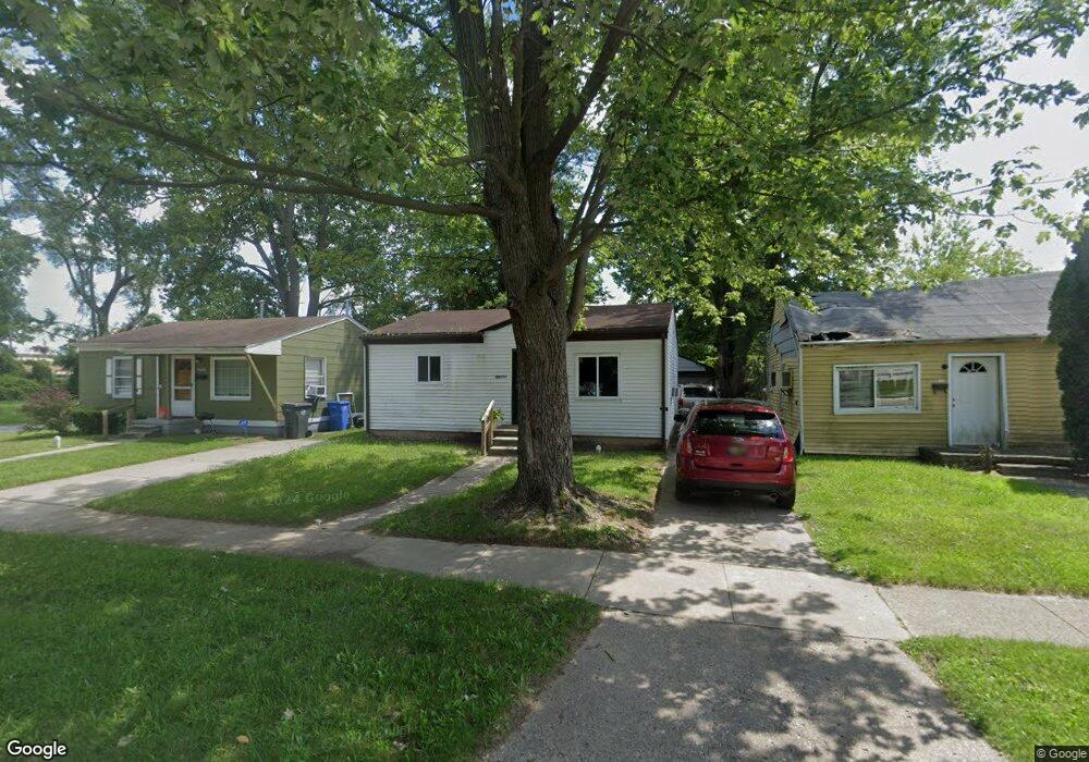
26111 Lehigh St Inkster, MI 48141
Estimated Value: $89,000 - $224,987
--
Bed
1
Bath
696
Sq Ft
$181/Sq Ft
Est. Value
About This Home
This home is located at 26111 Lehigh St, Inkster, MI 48141 and is currently estimated at $125,747, approximately $180 per square foot. 26111 Lehigh St is a home located in Wayne County with nearby schools including West Village Academy, Quest Charter Academy, and Peterson-Warren Academy.
Ownership History
Date
Name
Owned For
Owner Type
Purchase Details
Closed on
Dec 2, 2021
Sold by
Reo Recovery Llc
Bought by
Stergiou Stavros
Current Estimated Value
Purchase Details
Closed on
Nov 1, 2018
Sold by
Okolo Frank
Bought by
Reo Recovery Llc
Purchase Details
Closed on
Nov 14, 2003
Sold by
City Of Inkster
Bought by
Okolo Frank
Purchase Details
Closed on
Jul 14, 2000
Sold by
Mit
Bought by
Daly Real Estte Services Inc
Create a Home Valuation Report for This Property
The Home Valuation Report is an in-depth analysis detailing your home's value as well as a comparison with similar homes in the area
Home Values in the Area
Average Home Value in this Area
Purchase History
| Date | Buyer | Sale Price | Title Company |
|---|---|---|---|
| Stergiou Stavros | $13,000 | None Available | |
| Reo Recovery Llc | $13,000 | None Available | |
| Okolo Frank | $10,800 | -- | |
| Daly Real Estte Services Inc | $1,030 | -- |
Source: Public Records
Tax History Compared to Growth
Tax History
| Year | Tax Paid | Tax Assessment Tax Assessment Total Assessment is a certain percentage of the fair market value that is determined by local assessors to be the total taxable value of land and additions on the property. | Land | Improvement |
|---|---|---|---|---|
| 2025 | $1,095 | $31,200 | $0 | $0 |
| 2024 | $1,095 | $25,300 | $0 | $0 |
| 2023 | $1,058 | $20,300 | $0 | $0 |
| 2022 | $1,469 | $16,400 | $0 | $0 |
| 2021 | $1,212 | $14,900 | $0 | $0 |
| 2020 | $1,117 | $12,700 | $0 | $0 |
| 2019 | $1,510 | $11,000 | $0 | $0 |
| 2018 | $680 | $10,400 | $0 | $0 |
| 2017 | $579 | $10,000 | $0 | $0 |
| 2016 | $1,004 | $10,200 | $0 | $0 |
| 2015 | $1,190 | $11,900 | $0 | $0 |
| 2013 | $1,490 | $14,900 | $0 | $0 |
| 2012 | $964 | $16,400 | $1,600 | $14,800 |
Source: Public Records
Map
Nearby Homes
- 26159 Stanford St
- 26202 Colgate St
- 25895 Annapolis St
- 26225 McDonald St
- 26231 Andover St
- 26439 Hopkins St
- 25866 Andover St
- 26458 Hopkins St
- 26106 Powers Ave
- 0000 Ross Ross St
- 4110 John Daly St
- 4863 Glenis St
- 25474 McDonald St
- 26532 Powers Ave
- 26773 Colgate St
- 26419 Carlysle St
- 25965 Currier St
- 25628 Powers Ave
- 26653 Ross St
- 26206 Kitch St
- 26119 Lehigh St
- 26103 Lehigh St
- 26123 Lehigh St
- 26095 Lehigh St
- 26147 Lehigh St
- 26110 Lehigh St
- 26089 Lehigh St
- 26102 Lehigh St
- 26124 Lehigh St
- 26138 Lehigh St
- 26094 Lehigh St
- 26169 Lehigh St
- 26169 Lehigh St
- 26077 Lehigh St
- 26154 Lehigh St
- 26082 Lehigh St
- 26071 Lehigh St
- 26168 Hopkins St
- 26177 Lehigh St
- 26076 Lehigh St