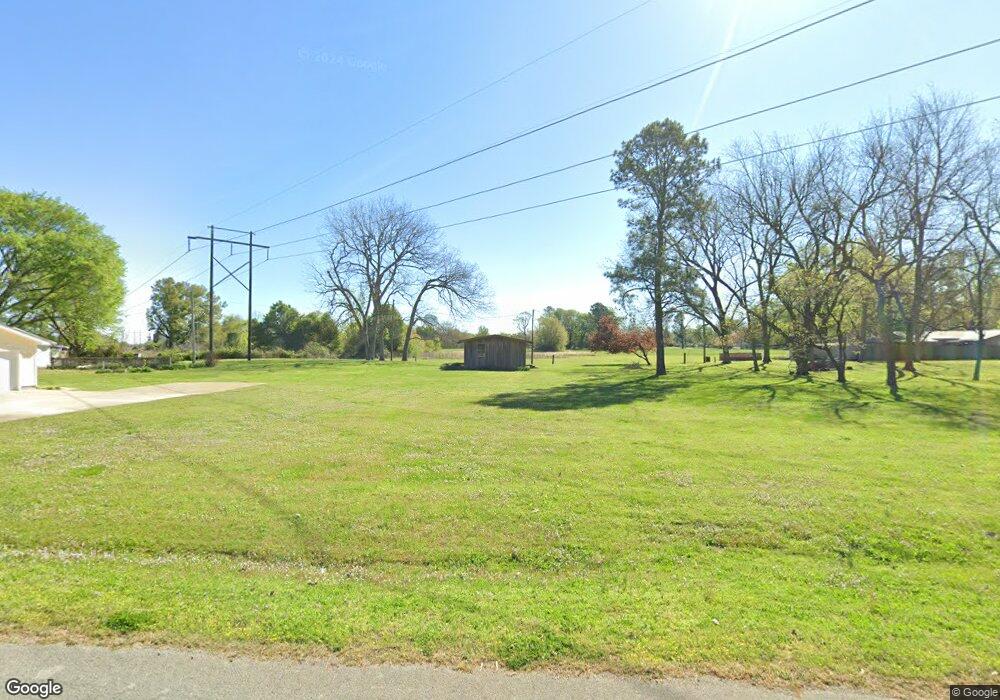
2612 Fields St Newport, AR 72112
Estimated Value: $109,000 - $137,000
--
Bed
2
Baths
1,615
Sq Ft
$77/Sq Ft
Est. Value
About This Home
This home is located at 2612 Fields St, Newport, AR 72112 and is currently estimated at $124,259, approximately $76 per square foot. 2612 Fields St is a home located in Jackson County with nearby schools including Newport Elementary School and Newport High School.
Ownership History
Date
Name
Owned For
Owner Type
Purchase Details
Closed on
Jun 10, 1993
Bought by
Burrow Charles and Burrow Catherine
Current Estimated Value
Purchase Details
Closed on
May 1, 1987
Bought by
Burrow Charles
Purchase Details
Closed on
Apr 9, 1976
Bought by
Burrow Charles and Burrow Catherine
Purchase Details
Closed on
Mar 4, 1963
Bought by
Burrow Charles and Burrow Catherine
Purchase Details
Closed on
Feb 20, 1963
Bought by
Burrow Charles and Burrow Catherine
Create a Home Valuation Report for This Property
The Home Valuation Report is an in-depth analysis detailing your home's value as well as a comparison with similar homes in the area
Home Values in the Area
Average Home Value in this Area
Purchase History
| Date | Buyer | Sale Price | Title Company |
|---|---|---|---|
| Burrow Charles | -- | -- | |
| Burrow Charles | -- | -- | |
| Burrow Charles | -- | -- | |
| Burrow Charles | -- | -- | |
| Burrow Charles | -- | -- |
Source: Public Records
Tax History Compared to Growth
Tax History
| Year | Tax Paid | Tax Assessment Tax Assessment Total Assessment is a certain percentage of the fair market value that is determined by local assessors to be the total taxable value of land and additions on the property. | Land | Improvement |
|---|---|---|---|---|
| 2024 | $65 | $23,070 | $1,820 | $21,250 |
| 2023 | $140 | $14,980 | $1,820 | $13,160 |
| 2022 | $214 | $14,980 | $1,820 | $13,160 |
| 2021 | $203 | $14,980 | $1,820 | $13,160 |
| 2020 | $203 | $14,980 | $1,820 | $13,160 |
| 2019 | $203 | $14,980 | $1,820 | $13,160 |
| 2018 | $204 | $13,640 | $910 | $12,730 |
| 2017 | $204 | $13,640 | $910 | $12,730 |
| 2015 | -- | $10,865 | $880 | $9,985 |
| 2014 | -- | $10,865 | $880 | $9,985 |
| 2013 | -- | $13,610 | $880 | $12,730 |
| 2012 | -- | $10,865 | $880 | $9,985 |
Source: Public Records
Map
Nearby Homes
- 2412 Linwood St
- 1620 Brookfield Cir
- 0 Robinson Rd
- 1319 Cindy Ln
- 2208 John Cir
- 2701 S Main St
- 2001 S Main St
- 3101 Lax St
- 1212 Graceland Dr
- 1217 Cherokee Dr
- 2708 Robinson St
- 2600 Hollywood St
- 900 Josephine St
- 721 Mclain St
- 1407 Dill St
- 1311 Dill St
- 604 Mclain St
- 203 Alice Ct
- 1714 Dill St
- 623 Holden Ave
- 2612 Fields St
- 2708 Fields St
- 2711 Stowe Rd
- 2200 Stowe Rd
- 2109 Rink Rd
- 2201 Rink Rd
- 2110 Rink Rd
- 2509 Linwood St
- 2200 Rink Rd
- 2425 Linwood St
- 2008 Stowe Rd
- 2421 Linwood St
- 2500 Linwood St
- 1905 Rink Rd
- 2417 Linwood St
- 2421 Rosewood St Unit 2501
- 2006 Stowe Rd
- 2300 Rink Rd
- 2413 Linwood St
- 2413 Rosewood St