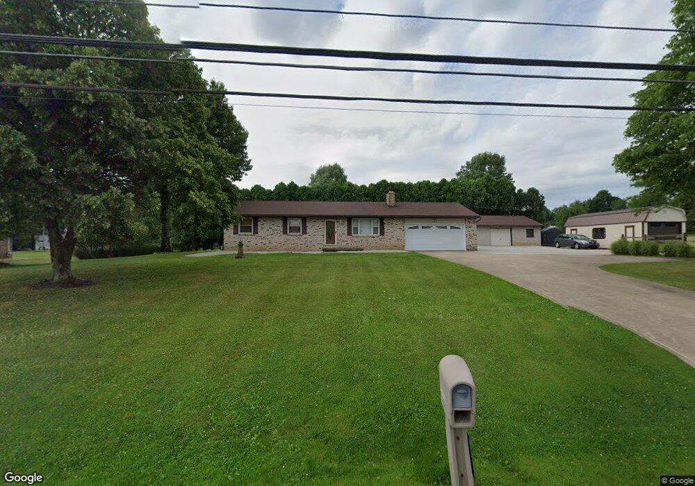
2612 State Route 430 Mansfield, OH 44903
Estimated Value: $227,000 - $248,142
3
Beds
2
Baths
1,232
Sq Ft
$194/Sq Ft
Est. Value
About This Home
This home is located at 2612 State Route 430, Mansfield, OH 44903 and is currently estimated at $239,536, approximately $194 per square foot. 2612 State Route 430 is a home located in Richland County with nearby schools including Madison High School, St. Mary Catholic School, and Temple-Christian School.
Ownership History
Date
Name
Owned For
Owner Type
Purchase Details
Closed on
Jan 5, 2018
Sold by
Oney Margaret J and Cyrus Linda
Bought by
Jaynes Steven E and Jaynes Debra L
Current Estimated Value
Purchase Details
Closed on
May 13, 1996
Sold by
Irwin Barbara K
Bought by
Oney Margaret J and Oney Paul D
Purchase Details
Closed on
Oct 23, 1991
Sold by
Smith Ronald
Bought by
Irwin Barbara K
Create a Home Valuation Report for This Property
The Home Valuation Report is an in-depth analysis detailing your home's value as well as a comparison with similar homes in the area
Home Values in the Area
Average Home Value in this Area
Purchase History
| Date | Buyer | Sale Price | Title Company |
|---|---|---|---|
| Jaynes Steven E | $123,000 | None Available | |
| Oney Margaret J | $93,000 | -- | |
| Irwin Barbara K | $78,500 | -- |
Source: Public Records
Tax History Compared to Growth
Tax History
| Year | Tax Paid | Tax Assessment Tax Assessment Total Assessment is a certain percentage of the fair market value that is determined by local assessors to be the total taxable value of land and additions on the property. | Land | Improvement |
|---|---|---|---|---|
| 2024 | $2,764 | $64,480 | $8,090 | $56,390 |
| 2023 | $2,764 | $64,480 | $8,090 | $56,390 |
| 2022 | $2,494 | $45,430 | $6,430 | $39,000 |
| 2021 | $2,493 | $45,430 | $6,430 | $39,000 |
| 2020 | $2,512 | $45,430 | $6,430 | $39,000 |
| 2019 | $2,308 | $38,950 | $5,450 | $33,500 |
| 2018 | $1,775 | $38,950 | $5,450 | $33,500 |
| 2017 | $1,742 | $38,950 | $5,450 | $33,500 |
| 2016 | $1,838 | $39,860 | $5,290 | $34,570 |
| 2015 | $1,809 | $39,860 | $5,290 | $34,570 |
| 2014 | $1,802 | $39,860 | $5,290 | $34,570 |
| 2012 | $1,576 | $41,090 | $5,450 | $35,640 |
Source: Public Records
Map
Nearby Homes
- 2641 State Route 430
- 2750 Lutz Ave
- 0 Satinwood Dr
- 598 Impala Dr
- 630 Impala Dr
- 2495 Emma Ln
- 775 Touby Ln
- 0 Peterson Rd
- 0 McBride Road Parcel # 1 Unit 9066028
- 609 Mcbride Rd
- 2270 Lakecrest Dr Unit 2272
- 640 Running Brook Way
- 641 Laver Rd
- 76 Ford Rd N
- 76 Ford Rd N Unit 20
- 3290 Shad Dr W
- 1910 Crider Rd
- 0 Mcelroy Rd
- 1997 Hout Rd
- 304 Esley Ln
- 16 Wolf Rd
- 26 Wolf Rd
- 36 Wolf Rd
- 44 Wolf Rd
- 2619 State Route 430
- 2650 State Route 430
- 41 Wolf Rd
- 2588 Ohio 430
- 56 Wolf Rd
- 2588 State Route 430
- 2588 Park Ave E
- 2670 Ohio 430
- 2670 State Route 430
- 59 Wolf Rd
- 66 Wolf Rd
- 2566 State Route 430
- 2684 State Route 430
- 76 Wolf Rd
- 71 Wolf Rd
- 2550 State Route 430