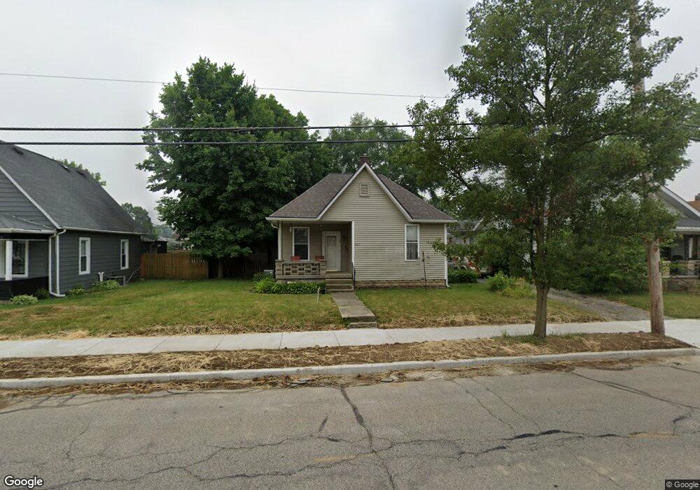
2613 Kossuth St Lafayette, IN 47904
Estimated Value: $170,000 - $195,000
2
Beds
2
Baths
844
Sq Ft
$219/Sq Ft
Est. Value
About This Home
This home is located at 2613 Kossuth St, Lafayette, IN 47904 and is currently estimated at $184,886, approximately $219 per square foot. 2613 Kossuth St is a home located in Tippecanoe County with nearby schools including Oakland Elementary School, Sunnyside Intermediate School, and Lafayette Tecumseh Junior High School.
Ownership History
Date
Name
Owned For
Owner Type
Purchase Details
Closed on
Jun 7, 2011
Sold by
Secretary Of Housing & Urban Development
Bought by
Lewis V Charles E
Current Estimated Value
Home Financials for this Owner
Home Financials are based on the most recent Mortgage that was taken out on this home.
Original Mortgage
$65,549
Outstanding Balance
$45,442
Interest Rate
4.75%
Mortgage Type
FHA
Estimated Equity
$139,444
Purchase Details
Closed on
Nov 29, 2010
Sold by
Wells Fargo Bank N A
Bought by
The Secretary Of Housing & Urban Develop
Purchase Details
Closed on
Nov 5, 2010
Sold by
Jones James O
Bought by
Wells Fargo Bank N A
Create a Home Valuation Report for This Property
The Home Valuation Report is an in-depth analysis detailing your home's value as well as a comparison with similar homes in the area
Home Values in the Area
Average Home Value in this Area
Purchase History
| Date | Buyer | Sale Price | Title Company |
|---|---|---|---|
| Lewis V Charles E | -- | Ohio Bar Title Insurance Co | |
| The Secretary Of Housing & Urban Develop | -- | None Available | |
| Wells Fargo Bank N A | $79,386 | None Available |
Source: Public Records
Mortgage History
| Date | Status | Borrower | Loan Amount |
|---|---|---|---|
| Open | Lewis V Charles E | $65,549 |
Source: Public Records
Tax History Compared to Growth
Tax History
| Year | Tax Paid | Tax Assessment Tax Assessment Total Assessment is a certain percentage of the fair market value that is determined by local assessors to be the total taxable value of land and additions on the property. | Land | Improvement |
|---|---|---|---|---|
| 2024 | $1,137 | $136,200 | $18,000 | $118,200 |
| 2023 | $1,016 | $127,200 | $18,000 | $109,200 |
| 2022 | $999 | $115,700 | $18,000 | $97,700 |
| 2021 | $853 | $104,300 | $18,000 | $86,300 |
| 2020 | $705 | $96,100 | $18,000 | $78,100 |
| 2019 | $467 | $80,700 | $16,200 | $64,500 |
| 2018 | $430 | $78,100 | $16,200 | $61,900 |
| 2017 | $413 | $77,400 | $16,200 | $61,200 |
| 2016 | $363 | $74,000 | $16,200 | $57,800 |
| 2014 | $341 | $71,400 | $16,200 | $55,200 |
| 2013 | $322 | $68,900 | $16,200 | $52,700 |
Source: Public Records
Map
Nearby Homes
- 2615 Kossuth St
- 2611 Kossuth St
- 706 S 27th St
- 2609 Kossuth St
- 708 S 27th St
- 715 S 26th St
- 2607 Kossuth St
- 2703 Kossuth St
- 638 S 27th St
- 717 S 26th St
- 2612 Kossuth St
- 2610 Kossuth St
- 710 S 27th St
- 2705 Kossuth St
- 2604 Kossuth St
- 709 S 27th St
- 642 S 27th St
- 2702 Kossuth St
- 2600 Kossuth St
- 712 S 27th St