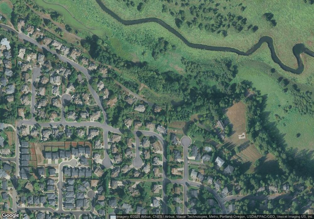
2613 NW 133rd Cir Vancouver, WA 98685
Estimated Value: $714,000 - $910,000
3
Beds
3
Baths
2,640
Sq Ft
$316/Sq Ft
Est. Value
About This Home
This home is located at 2613 NW 133rd Cir, Vancouver, WA 98685 and is currently estimated at $835,543, approximately $316 per square foot. 2613 NW 133rd Cir is a home located in Clark County with nearby schools including Felida Elementary School, Jefferson Middle School, and Skyview High School.
Ownership History
Date
Name
Owned For
Owner Type
Purchase Details
Closed on
Apr 17, 1997
Sold by
Wedgwood Ronald L and Wedgwood Denise R
Bought by
Parsons James C and Parsons Younghee C
Current Estimated Value
Home Financials for this Owner
Home Financials are based on the most recent Mortgage that was taken out on this home.
Original Mortgage
$247,500
Outstanding Balance
$30,221
Interest Rate
7.25%
Estimated Equity
$805,322
Create a Home Valuation Report for This Property
The Home Valuation Report is an in-depth analysis detailing your home's value as well as a comparison with similar homes in the area
Home Values in the Area
Average Home Value in this Area
Purchase History
| Date | Buyer | Sale Price | Title Company |
|---|---|---|---|
| Parsons James C | $319,934 | First American Title Ins Co |
Source: Public Records
Mortgage History
| Date | Status | Borrower | Loan Amount |
|---|---|---|---|
| Open | Parsons James C | $247,500 |
Source: Public Records
Tax History Compared to Growth
Tax History
| Year | Tax Paid | Tax Assessment Tax Assessment Total Assessment is a certain percentage of the fair market value that is determined by local assessors to be the total taxable value of land and additions on the property. | Land | Improvement |
|---|---|---|---|---|
| 2025 | $8,057 | $849,930 | $291,500 | $558,430 |
| 2024 | $7,631 | $766,568 | $291,500 | $475,068 |
| 2023 | $7,365 | $826,799 | $286,100 | $540,699 |
| 2022 | $7,058 | $747,170 | $286,100 | $461,070 |
| 2021 | $6,828 | $637,681 | $194,390 | $443,291 |
| 2020 | $6,245 | $579,227 | $181,685 | $397,542 |
| 2019 | $5,907 | $562,629 | $181,685 | $380,944 |
| 2018 | $6,549 | $552,362 | $0 | $0 |
| 2017 | $6,054 | $512,747 | $0 | $0 |
| 2016 | $5,866 | $494,007 | $0 | $0 |
| 2015 | $5,492 | $447,675 | $0 | $0 |
| 2014 | -- | $404,246 | $0 | $0 |
| 2013 | -- | $415,466 | $0 | $0 |
Source: Public Records
Map
Nearby Homes
- 2908 NW 130th Cir
- 12800 NW 26th Ave
- 2201 NW 128th St
- 12104 NW 20th Ave
- 13201 NW 33rd Ave
- 13103 NW 35th Ct
- 12413 NW 20th Ave
- 2907 NW 130th Cir
- 12510 NW 34th Ct
- Woodstock Plan at Ashbury
- Westmont Plan at Ashbury
- Walden Plan at Ashbury
- The Vail Plan at Ashbury
- Vader Plan at Ashbury
- Tillamook Plan at Ashbury
- Tillicum Plan at Ashbury
- Tandem Plan at Ashbury
- Scottsdale Plan at Ashbury
- Sampson Plan at Ashbury
- Rockaway Plan at Ashbury
- 2612 NW 131st St
- 2619 NW 133rd Cir
- 13017 NW 26th Ave
- 2700 NW 131st St
- 2709 NW 133rd Cir
- 12920 NW 25th Ct
- 2708 NW 131st St
- 13017 NW 27th Ct
- 13008 NW 26th Ave
- 13018 NW 27th Ct
- 13117 NW 28th Ave
- 13009 NW 27th Ct
- 12916 NW 25th Ct
- 13213 NW 28th Ave
- 13019 NW 28th Ct
- 12918 NW 26th Ave
- 13010 NW 27th Ct
- 12917 NW 25th Ct
- 2707 NW 131st St
- 13015 NW 28th Ct
