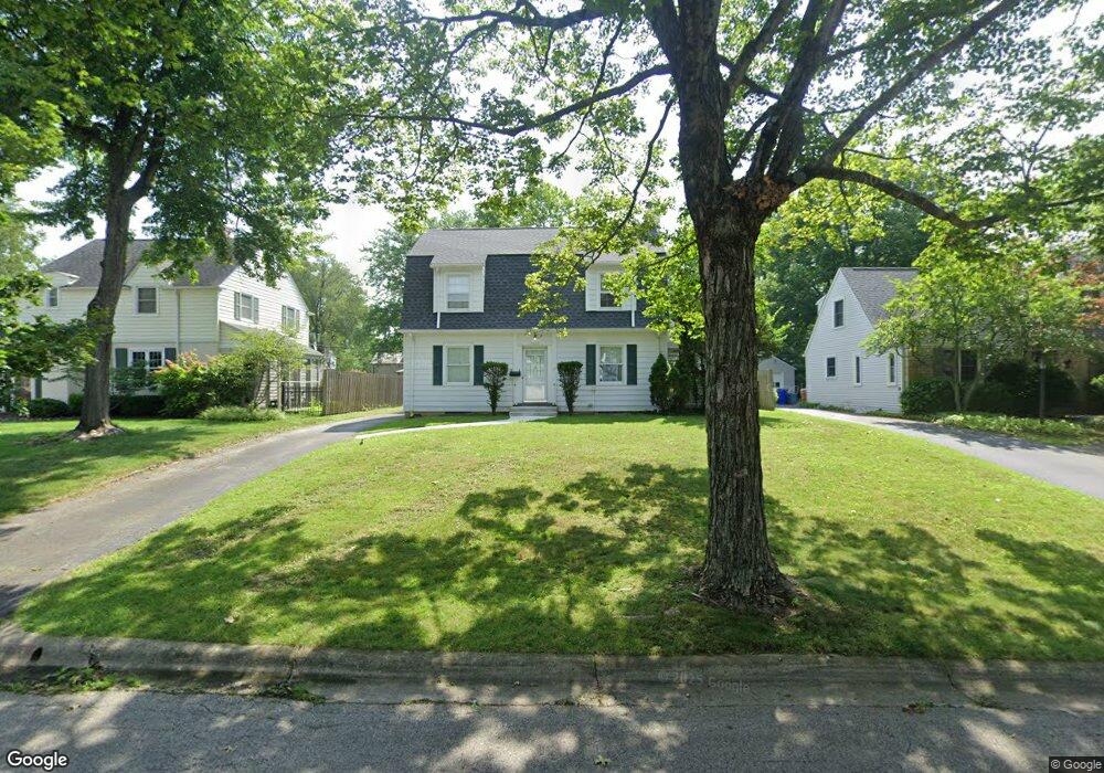
2614 Kent Rd Columbus, OH 43221
Estimated Value: $633,000 - $706,000
3
Beds
2
Baths
1,563
Sq Ft
$431/Sq Ft
Est. Value
About This Home
This home is located at 2614 Kent Rd, Columbus, OH 43221 and is currently estimated at $674,029, approximately $431 per square foot. 2614 Kent Rd is a home located in Franklin County with nearby schools including Tremont Elementary School, Jones Middle School, and Upper Arlington High School.
Ownership History
Date
Name
Owned For
Owner Type
Purchase Details
Closed on
Jun 1, 2022
Sold by
Nelson Jerome W and Nelson Marjorie R
Bought by
Jerome W Nelson And Marjorie R Nelson Living
Current Estimated Value
Purchase Details
Closed on
May 22, 2022
Sold by
Nelson Jerome W and Nelson Marjorie R
Bought by
Jerome W Nelson And Marjorie R Nelson Living
Purchase Details
Closed on
Mar 2, 1987
Bought by
Nelson Jerome W
Purchase Details
Closed on
Oct 1, 1985
Create a Home Valuation Report for This Property
The Home Valuation Report is an in-depth analysis detailing your home's value as well as a comparison with similar homes in the area
Home Values in the Area
Average Home Value in this Area
Purchase History
| Date | Buyer | Sale Price | Title Company |
|---|---|---|---|
| Jerome W Nelson And Marjorie R Nelson Living | -- | Milligan Fred J | |
| Jerome W Nelson And Marjorie R Nelson Living | -- | Milligan Fred J | |
| Nelson Jerome W | $111,400 | -- | |
| -- | $80,100 | -- |
Source: Public Records
Tax History Compared to Growth
Tax History
| Year | Tax Paid | Tax Assessment Tax Assessment Total Assessment is a certain percentage of the fair market value that is determined by local assessors to be the total taxable value of land and additions on the property. | Land | Improvement |
|---|---|---|---|---|
| 2024 | $10,324 | $188,130 | $91,670 | $96,460 |
| 2023 | $10,232 | $188,130 | $91,670 | $96,460 |
| 2022 | $8,832 | $135,140 | $45,360 | $89,780 |
| 2021 | $7,818 | $135,140 | $45,360 | $89,780 |
| 2020 | $7,749 | $135,140 | $45,360 | $89,780 |
| 2019 | $7,119 | $111,410 | $45,360 | $66,050 |
| 2018 | $3,539 | $111,410 | $45,360 | $66,050 |
| 2017 | $7,064 | $111,410 | $45,360 | $66,050 |
| 2016 | $5,867 | $97,480 | $47,880 | $49,600 |
| 2015 | $2,931 | $97,480 | $47,880 | $49,600 |
| 2014 | $5,868 | $97,480 | $47,880 | $49,600 |
| 2013 | $2,775 | $88,620 | $43,540 | $45,080 |
Source: Public Records
Map
Nearby Homes
- 2593 Coventry Rd
- 2063 Westover Rd
- 2615 Northwest Blvd
- 1909 Inchcliff Rd
- 2569 Chester Rd
- 1932 Suffolk Rd Unit 1932
- 2979 Avalon Rd
- 2648 Chester Rd
- 2585 Westmont Blvd
- 3041 Avalon Rd
- 2276 Northwest Blvd
- 2295 Oxford Rd
- 2227 Zollinger Rd
- 1887-1891 Kentwell Rd
- 3015 Welsford Rd
- 1550 College Hill Dr
- 2370 Zollinger Rd
- 1565 Berkshire Rd
- 2589 Olde Hill Ct N Unit 2589
- 3175 Tremont Rd Unit 502