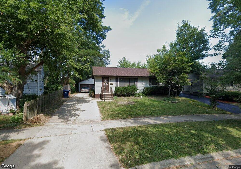
2614 Mohawk Rd Waukegan, IL 60087
Lake Cogardens NeighborhoodEstimated Value: $213,000 - $240,374
3
Beds
2
Baths
864
Sq Ft
$266/Sq Ft
Est. Value
About This Home
This home is located at 2614 Mohawk Rd, Waukegan, IL 60087 and is currently estimated at $229,594, approximately $265 per square foot. 2614 Mohawk Rd is a home located in Lake County with nearby schools including Oakdale Elementary School, Miguel Juarez Middle School, and Waukegan High School.
Ownership History
Date
Name
Owned For
Owner Type
Purchase Details
Closed on
Jun 28, 2002
Sold by
Padilla Antonio
Bought by
Buncak David A and Buncak Myra E
Current Estimated Value
Home Financials for this Owner
Home Financials are based on the most recent Mortgage that was taken out on this home.
Original Mortgage
$90,000
Interest Rate
6.56%
Purchase Details
Closed on
Apr 12, 1999
Sold by
Hutchings William E and Hutchings Irus A
Bought by
Padilla Antonio
Home Financials for this Owner
Home Financials are based on the most recent Mortgage that was taken out on this home.
Original Mortgage
$104,500
Interest Rate
7.1%
Create a Home Valuation Report for This Property
The Home Valuation Report is an in-depth analysis detailing your home's value as well as a comparison with similar homes in the area
Home Values in the Area
Average Home Value in this Area
Purchase History
| Date | Buyer | Sale Price | Title Company |
|---|---|---|---|
| Buncak David A | $136,000 | First American Title | |
| Padilla Antonio | $110,000 | First American Title |
Source: Public Records
Mortgage History
| Date | Status | Borrower | Loan Amount |
|---|---|---|---|
| Previous Owner | Buncak David A | $90,000 | |
| Previous Owner | Padilla Antonio | $104,500 | |
| Closed | Buncak David A | $3,500 |
Source: Public Records
Tax History
| Year | Tax Paid | Tax Assessment Tax Assessment Total Assessment is a certain percentage of the fair market value that is determined by local assessors to be the total taxable value of land and additions on the property. | Land | Improvement |
|---|---|---|---|---|
| 2024 | $5,241 | $70,377 | $16,127 | $54,250 |
| 2023 | $4,751 | $63,577 | $14,569 | $49,008 |
| 2022 | $4,751 | $54,595 | $13,881 | $40,714 |
| 2021 | $4,344 | $47,670 | $12,018 | $35,652 |
| 2020 | $4,354 | $44,410 | $11,196 | $33,214 |
| 2019 | $4,329 | $40,694 | $10,259 | $30,435 |
| 2018 | $3,695 | $34,958 | $13,069 | $21,889 |
| 2017 | $3,546 | $30,928 | $11,562 | $19,366 |
| 2016 | $3,226 | $26,875 | $10,047 | $16,828 |
| 2015 | $3,050 | $24,053 | $8,992 | $15,061 |
| 2014 | $3,406 | $25,671 | $9,869 | $15,802 |
| 2012 | $4,441 | $27,812 | $10,693 | $17,119 |
Source: Public Records
Map
Nearby Homes
- 2521 Dakota Rd
- 2440 W Cheyenne Rd
- 2928 W Country Club Ave
- 3000 W Country Club Ave
- 2946 W Country Club Ave
- 3320 Sunset Ave
- 2705 Jacquelyn Ln
- 2901 Wall Ave
- 2207 Williamsburg Dr
- 2810 W Atlantic Ave
- 3032 W Vermont Ave
- 2011 Georgetown Ln
- 2629 N Mcaree Rd
- 12352 W Atlantic Ave
- 3370 W Brooke Ave Unit 410
- 2613 N Lewis Ave
- 2824 W Bonnie Brook Ln
- 2305 W Grove Ave
- 12933 W Polo Ave
- 2432 Yeoman St
- 2618 Mohawk Rd
- 2610 Mohawk Rd
- 2124 N Mcaree Rd
- 2128 N Mcaree Rd
- 2622 Mohawk Rd
- 2120 N Mcaree Rd
- 2606 Mohawk Rd
- 2611 Sunset Ave
- 2132 N Mcaree Rd
- 2607 Sunset Ave Unit 2
- 2615 Sunset Ave
- 2116 N Mcaree Rd
- 2601 Sunset Ave
- 2621 Mohawk Rd
- 2621 Sunset Ave
- 2626 Mohawk Rd
- 2610 Iroquois Rd
- 2617 Mohawk Rd
- 2600 Iroquois Rd
- 2625 Sunset Ave