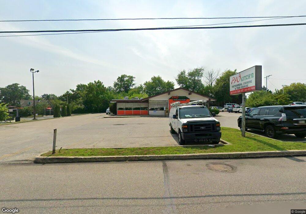
2614 Ridge Pike Norristown, PA 19403
Estimated Value: $1,677,086
--
Bed
2
Baths
3,200
Sq Ft
$524/Sq Ft
Est. Value
About This Home
This home is located at 2614 Ridge Pike, Norristown, PA 19403 and is currently estimated at $1,677,086, approximately $524 per square foot. 2614 Ridge Pike is a home located in Montgomery County with nearby schools including Eagleville Elementary School, Skyview Upper Elementary School, and Arcola Intermediate School.
Ownership History
Date
Name
Owned For
Owner Type
Purchase Details
Closed on
Jan 29, 2015
Sold by
Tang Realty Company
Bought by
Pho & More 2 Llc
Current Estimated Value
Home Financials for this Owner
Home Financials are based on the most recent Mortgage that was taken out on this home.
Original Mortgage
$360,665
Outstanding Balance
$276,751
Interest Rate
3.81%
Mortgage Type
Future Advance Clause Open End Mortgage
Estimated Equity
$1,400,335
Create a Home Valuation Report for This Property
The Home Valuation Report is an in-depth analysis detailing your home's value as well as a comparison with similar homes in the area
Home Values in the Area
Average Home Value in this Area
Purchase History
| Date | Buyer | Sale Price | Title Company |
|---|---|---|---|
| Pho & More 2 Llc | $900,000 | None Available |
Source: Public Records
Mortgage History
| Date | Status | Borrower | Loan Amount |
|---|---|---|---|
| Open | Pho & More 2 Llc | $360,665 |
Source: Public Records
Tax History Compared to Growth
Tax History
| Year | Tax Paid | Tax Assessment Tax Assessment Total Assessment is a certain percentage of the fair market value that is determined by local assessors to be the total taxable value of land and additions on the property. | Land | Improvement |
|---|---|---|---|---|
| 2025 | $12,215 | $299,480 | $202,210 | $97,270 |
| 2024 | $12,215 | $299,480 | $202,210 | $97,270 |
| 2023 | $11,751 | $299,480 | $202,210 | $97,270 |
| 2022 | $11,430 | $299,480 | $202,210 | $97,270 |
| 2021 | $11,136 | $299,480 | $202,210 | $97,270 |
| 2020 | $10,875 | $299,480 | $202,210 | $97,270 |
| 2019 | $10,775 | $299,480 | $202,210 | $97,270 |
| 2018 | $10,775 | $299,480 | $202,210 | $97,270 |
| 2017 | $10,289 | $299,480 | $202,210 | $97,270 |
| 2016 | $10,172 | $299,480 | $202,210 | $97,270 |
| 2015 | $9,920 | $299,480 | $202,210 | $97,270 |
| 2014 | $9,776 | $299,480 | $202,210 | $97,270 |
Source: Public Records
Map
Nearby Homes
- 24 Wayne Ave
- 44 N Barry Ave
- 136 Markley Farm Cir
- 32 Miami Rd
- 115 Sunnyside Ave
- 2044 Mill Rd
- 37 Burnside Ave
- 636 Hillside Ave
- 4021 Killington Ct
- 2055 W Marshall St
- 8040 Fair View Ln
- 301 Winterfall Ave
- 68 Jefferson Ave
- 520 Deerfield Dr
- 2787 Woodland Ave
- 1992 Keswick Way
- 2020 Sterigere St
- 1332 Statesman Rd
- 68 Oaklyn Ave
- 801 N Park Ave
- 7 Oakdale Ave
- 11 Oakdale Ave
- 13 Oakdale Ave
- 1 N Trooper Rd
- 15 Oakdale Ave
- 1957 Ridge Pike
- 11 S Trooper Rd
- 17 Oakdale Ave
- 0 Roads 363 & 24 Unit 1001143092
- 0 Roads 363 & 24 Unit 585108
- 13 S Trooper Rd
- 16 Oakdale Ave
- 17 S Trooper Rd
- 20 Oakdale Ave
- 14 Oakdale Ave
- 10 Oakdale Ave
- 20 S Trooper Rd
- 22 Oakdale Ave
- 24 S Trooper Rd
- 12 Clearfield Ave