26152 Hwy 5 Lebanon, MO 65536
Estimated Value: $311,000 - $516,496
--
Bed
1
Bath
5,831
Sq Ft
$72/Sq Ft
Est. Value
About This Home
This home is located at 26152 Hwy 5, Lebanon, MO 65536 and is currently estimated at $420,124, approximately $72 per square foot. 26152 Hwy 5 is a home located in Laclede County with nearby schools including Joe D. Esther Elementary School, Boswell Elementary School, and Maplecrest Elementary School.
Ownership History
Date
Name
Owned For
Owner Type
Purchase Details
Closed on
Dec 23, 2020
Sold by
Martin Scott and Martin Sherry
Bought by
Palilla Randy and Palilla Bronwen
Current Estimated Value
Home Financials for this Owner
Home Financials are based on the most recent Mortgage that was taken out on this home.
Original Mortgage
$119,920
Interest Rate
2.8%
Mortgage Type
Future Advance Clause Open End Mortgage
Purchase Details
Closed on
Mar 5, 2015
Sold by
Caffey Richard C and Caffey Donna J
Bought by
Caffey Richard C and Caffey Donna J
Create a Home Valuation Report for This Property
The Home Valuation Report is an in-depth analysis detailing your home's value as well as a comparison with similar homes in the area
Home Values in the Area
Average Home Value in this Area
Purchase History
| Date | Buyer | Sale Price | Title Company |
|---|---|---|---|
| Palilla Randy | -- | Hogan Land Title | |
| Caffey Richard C | -- | None Available |
Source: Public Records
Mortgage History
| Date | Status | Borrower | Loan Amount |
|---|---|---|---|
| Closed | Palilla Randy | $119,920 |
Source: Public Records
Tax History Compared to Growth
Tax History
| Year | Tax Paid | Tax Assessment Tax Assessment Total Assessment is a certain percentage of the fair market value that is determined by local assessors to be the total taxable value of land and additions on the property. | Land | Improvement |
|---|---|---|---|---|
| 2025 | $3,144 | $60,080 | $0 | $0 |
| 2024 | $3,144 | $54,440 | $0 | $0 |
| 2023 | $3,253 | $54,440 | $0 | $0 |
| 2022 | $3,035 | $54,440 | $0 | $0 |
| 2021 | $2,612 | $44,479 | $3,857 | $40,622 |
| 2020 | $2,625 | $44,479 | $3,857 | $40,622 |
| 2019 | $2,511 | $44,480 | $3,860 | $40,620 |
| 2018 | $2,275 | $44,480 | $3,860 | $40,620 |
| 2017 | $2,153 | $44,480 | $0 | $0 |
| 2016 | $2,153 | $44,480 | $0 | $0 |
| 2015 | $2,153 | $44,480 | $0 | $0 |
| 2014 | $2,153 | $44,480 | $0 | $0 |
| 2013 | -- | $44,480 | $0 | $0 |
Source: Public Records
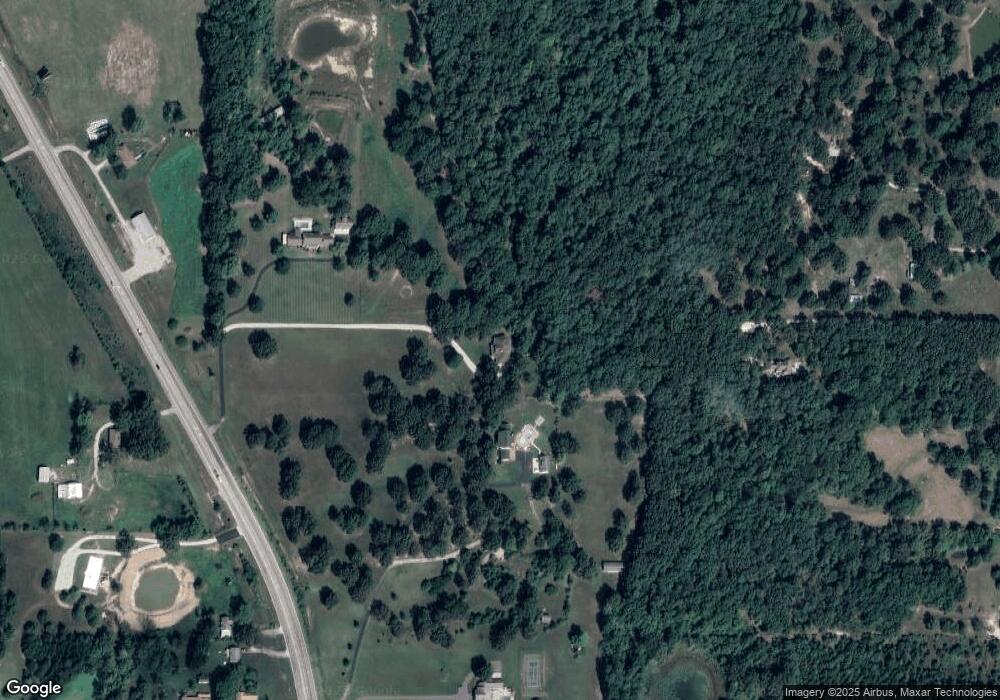
Map
Nearby Homes
- 20448 Oakway Dr
- 20150 SW Oakwood Dr
- 20198 Granger Ln
- 000 Greenfield Rd
- TBD Greenfield Rd
- 20193 SW Oakwood Dr
- 1 Grandlake Cir
- 31 Ontario Dr
- 17 Grandlake Cir
- 2 Grandlake Cir
- 10 Grandlake Cir
- 1540 Woodhill Dr
- 545 Woody
- 231 Raef Rd
- TBD Honeysuckle Cir
- 25611 Open Ridge Ln
- 600 Hunters Creek Dr
- 1520 Fairfield Dr
- 605 Hunters Creek Dr
- 328 Driftwood Dr
- 26152 Highway 5
- 26152 Highway 5
- 26132 Highway 5
- 26150 Highway 5
- 26150 Highway 5
- 26151 Pelican Dr
- 26150 Missouri 5
- 26010 Highway 5
- 26161 Highway 5
- 26037 Highway 5
- 25962 Highway 5
- 26245 Pelican Dr
- 26259 Pelican Dr
- 26163 Highway 5
- 25907 Hwy 5
- 20309 Greenfield Rd
- 25936 Highway 5
- 25934 Highway 5
- 26385 Pelican Dr