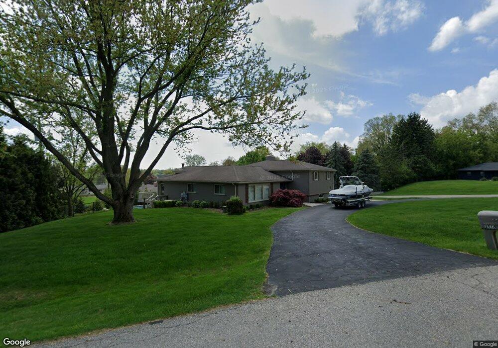
2616 Mcclintock Rd Bloomfield Hills, MI 48302
Estimated Value: $617,751 - $879,000
3
Beds
3
Baths
3,452
Sq Ft
$216/Sq Ft
Est. Value
About This Home
This home is located at 2616 Mcclintock Rd, Bloomfield Hills, MI 48302 and is currently estimated at $747,188, approximately $216 per square foot. 2616 Mcclintock Rd is a home located in Oakland County with nearby schools including Walt Whitman Elementary School, Pontiac Middle School, and Pontiac High School.
Ownership History
Date
Name
Owned For
Owner Type
Purchase Details
Closed on
Oct 20, 2015
Sold by
Cedras Douglas R and Cedras Tina M
Bought by
Krzeszewski Daniel and Krzeszewski Jennifer
Current Estimated Value
Home Financials for this Owner
Home Financials are based on the most recent Mortgage that was taken out on this home.
Original Mortgage
$340,000
Outstanding Balance
$267,781
Interest Rate
3.91%
Mortgage Type
New Conventional
Estimated Equity
$479,407
Create a Home Valuation Report for This Property
The Home Valuation Report is an in-depth analysis detailing your home's value as well as a comparison with similar homes in the area
Home Values in the Area
Average Home Value in this Area
Purchase History
| Date | Buyer | Sale Price | Title Company |
|---|---|---|---|
| Krzeszewski Daniel | $425,000 | Interstate Title Inc |
Source: Public Records
Mortgage History
| Date | Status | Borrower | Loan Amount |
|---|---|---|---|
| Open | Krzeszewski Daniel | $340,000 |
Source: Public Records
Tax History Compared to Growth
Tax History
| Year | Tax Paid | Tax Assessment Tax Assessment Total Assessment is a certain percentage of the fair market value that is determined by local assessors to be the total taxable value of land and additions on the property. | Land | Improvement |
|---|---|---|---|---|
| 2024 | $3,781 | $232,870 | $0 | $0 |
| 2023 | $3,608 | $222,940 | $0 | $0 |
| 2022 | $6,158 | $239,720 | $0 | $0 |
| 2021 | $6,016 | $230,720 | $0 | $0 |
| 2020 | $3,279 | $228,990 | $0 | $0 |
| 2019 | $5,822 | $213,120 | $0 | $0 |
| 2018 | $5,719 | $207,610 | $0 | $0 |
| 2017 | $5,636 | $197,400 | $0 | $0 |
| 2016 | $5,634 | $172,980 | $0 | $0 |
| 2015 | -- | $136,740 | $0 | $0 |
| 2014 | -- | $127,580 | $0 | $0 |
| 2011 | -- | $103,820 | $0 | $0 |
Source: Public Records
Map
Nearby Homes
- 1831 Long Pointe Dr
- 2121 Uplong St
- 2779 Turtle Lake Dr
- 2759 Turtle Ridge Dr
- 2756 Turtle Bluff Dr
- 2665 Middlebelt Rd
- 2785 Turtle Lake Dr
- 1947 Maplewood Ave
- 2954 Long Ridge Ct
- 2300 Pine Lake Rd
- 2360 Pineview
- 1968 Maplewood Ave
- 1772 Heron Ridge Dr
- 2707 Turtle Lake Dr
- 2717 Turtle Shores Ranch Dr
- 2717 Turtle Shores Dr
- 1744 Heron Ridge Dr
- 2372 Pine Lake Rd
- 2230 Middlebelt Rd
- 2622 Pine Ridge Rd
- 2632 Mcclintock Rd
- 1957 Marie Cir
- 2644 Marie Cir
- 2614 Marie Cir
- 2615 Mcclintock Rd
- 2631 Mcclintock Rd
- 2674 Marie Cir
- 2584 Mcclintock Rd
- 2648 Mcclintock Rd
- 2615 Robindale Ln
- 1932 Long Pointe Dr
- 2645 Robindale Ln
- 1924 Long Pointe Dr
- 1923 Marie Cir
- 2585 Robindale Ln
- 1946 Long Pointe Dr
- 2581 Mcclintock Rd
- 2675 Robindale Ln
- 2554 Mcclintock Rd
- 1893 Packer Rd