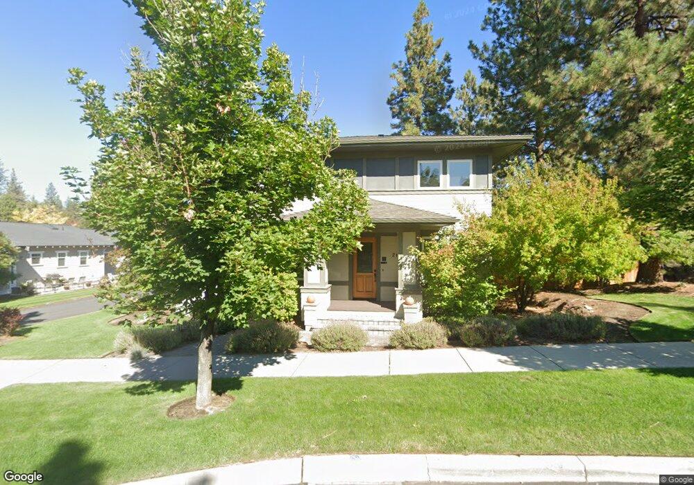
2616 NW Shields Dr Bend, OR 97701
Summit West NeighborhoodEstimated Value: $833,000 - $1,491,895
3
Beds
4
Baths
2,655
Sq Ft
$466/Sq Ft
Est. Value
About This Home
This home is located at 2616 NW Shields Dr, Bend, OR 97701 and is currently estimated at $1,237,724, approximately $466 per square foot. 2616 NW Shields Dr is a home located in Deschutes County with nearby schools including High Lakes Elementary School, Pacific Crest Middle School, and Summit High School.
Ownership History
Date
Name
Owned For
Owner Type
Purchase Details
Closed on
Oct 22, 2018
Sold by
White Ron and White Eileen Mk
Bought by
Tww Group Llc
Current Estimated Value
Purchase Details
Closed on
Jul 25, 2018
Sold by
Tww Group Llc
Bought by
White Ron and White Eileen Mk
Purchase Details
Closed on
Dec 19, 2017
Sold by
White Ron and White Eileen M K
Bought by
Tww Group Llc
Purchase Details
Closed on
Dec 18, 2017
Sold by
White Ron and White Eileen M
Bought by
Tww Group Llc
Purchase Details
Closed on
Jul 9, 2004
Sold by
Tennant Family Lp
Bought by
White Ron L and White Eileen M K
Create a Home Valuation Report for This Property
The Home Valuation Report is an in-depth analysis detailing your home's value as well as a comparison with similar homes in the area
Home Values in the Area
Average Home Value in this Area
Purchase History
| Date | Buyer | Sale Price | Title Company |
|---|---|---|---|
| Tww Group Llc | -- | None Available | |
| White Ron | -- | None Available | |
| Tww Group Llc | -- | None Available | |
| Tww Group Llc | -- | None Listed On Document | |
| White Ron L | $68,000 | -- |
Source: Public Records
Tax History Compared to Growth
Tax History
| Year | Tax Paid | Tax Assessment Tax Assessment Total Assessment is a certain percentage of the fair market value that is determined by local assessors to be the total taxable value of land and additions on the property. | Land | Improvement |
|---|---|---|---|---|
| 2025 | $7,212 | $426,820 | -- | -- |
| 2024 | $6,938 | $414,390 | -- | -- |
| 2023 | $6,432 | $402,330 | $0 | $0 |
| 2022 | $6,001 | $379,250 | $0 | $0 |
| 2021 | $6,010 | $368,210 | $0 | $0 |
| 2020 | $5,702 | $368,210 | $0 | $0 |
| 2019 | $5,543 | $357,490 | $0 | $0 |
| 2018 | $5,387 | $347,080 | $0 | $0 |
| 2017 | $5,229 | $336,980 | $0 | $0 |
| 2016 | $4,986 | $327,170 | $0 | $0 |
| 2015 | $4,848 | $317,650 | $0 | $0 |
| 2014 | $4,706 | $308,400 | $0 | $0 |
Source: Public Records
Map
Nearby Homes
- 2580 NW Shields Dr
- 1650 NW Lewis St Unit 4
- 1676 NW William Clark St
- 2612 NW Lemhi Pass Dr
- 2589 NW Lemhi Pass Dr
- 1399 NW Fort Clatsop St Unit 1&2
- 2234 NW Reserve Camp Ct
- 2927 NW Celilo Ln
- 2429 NW Dorion Way
- 1251 NW Stanhope Way Unit 250
- 62947 Levins Ln
- 2954 NW Wild Meadow Dr
- 2382 NW Summerhill Dr
- 2511 NW Crossing Dr
- 2745 NW Ordway Ave Unit 209
- 2745 NW Ordway Ave Unit 207
- 2745 NW Ordway Ave Unit 300
- 2745 NW Ordway Ave Unit 212
- 2745 NW Ordway Ave Unit 104
- 3035 NW Celilo Ln
- 2604 NW Shields Dr
- 2628 NW Shields Dr
- 1694 NW John Fremont St
- 1695 NW John Fremont St
- 2634 NW Shields Dr
- 1656 NW John Fremont St
- 2588 NW Shields Dr
- 1657 NW John Fremont St
- 2646 NW Shields Dr
- 1699 NW Lewis St
- 1683 NW Lewis St
- 1618 NW John Fremont St
- 1667 NW Lewis St Unit 219
- 1667 NW Lewis St
- 1619 NW John Fremont St
- 2658 NW Shields Dr
- 1651 NW Lewis St
- 1635 NW Lewis St
- 1581 NW John Fremont St
- 1690 NW Lepage Place