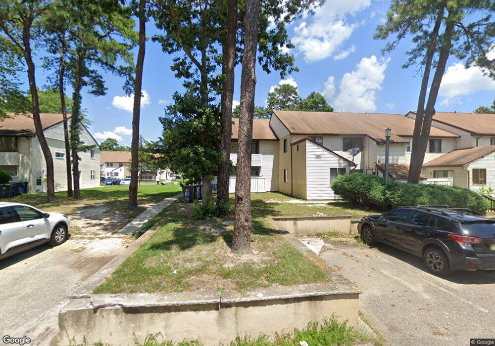
2616 Primrose Ct Mays Landing, NJ 08330
Estimated Value: $147,000 - $167,000
--
Bed
--
Bath
956
Sq Ft
$162/Sq Ft
Est. Value
About This Home
This home is located at 2616 Primrose Ct, Mays Landing, NJ 08330 and is currently estimated at $155,135, approximately $162 per square foot. 2616 Primrose Ct is a home located in Atlantic County with nearby schools including George L. Hess Educational Complex, Joseph Shaner School, and William Davies Middle School.
Ownership History
Date
Name
Owned For
Owner Type
Purchase Details
Closed on
Aug 15, 2024
Sold by
Tavares Anthony
Bought by
Castro Victor M
Current Estimated Value
Purchase Details
Closed on
Oct 15, 2002
Sold by
Brown Louise B
Bought by
Tavares Anthony
Home Financials for this Owner
Home Financials are based on the most recent Mortgage that was taken out on this home.
Original Mortgage
$48,600
Interest Rate
6.2%
Mortgage Type
FHA
Purchase Details
Closed on
Jul 19, 1996
Sold by
Nussbaum Diane
Bought by
Brown Louise B
Home Financials for this Owner
Home Financials are based on the most recent Mortgage that was taken out on this home.
Original Mortgage
$36,000
Interest Rate
8.28%
Mortgage Type
FHA
Create a Home Valuation Report for This Property
The Home Valuation Report is an in-depth analysis detailing your home's value as well as a comparison with similar homes in the area
Home Values in the Area
Average Home Value in this Area
Purchase History
| Date | Buyer | Sale Price | Title Company |
|---|---|---|---|
| Castro Victor M | $135,000 | Atlantic Shore Title | |
| Tavares Anthony | $49,900 | Commonwealth Land Title Insu | |
| Brown Louise B | $36,900 | Fidelity National Title |
Source: Public Records
Mortgage History
| Date | Status | Borrower | Loan Amount |
|---|---|---|---|
| Previous Owner | Tavares Anthony | $48,600 | |
| Previous Owner | Brown Louise B | $36,000 |
Source: Public Records
Tax History Compared to Growth
Tax History
| Year | Tax Paid | Tax Assessment Tax Assessment Total Assessment is a certain percentage of the fair market value that is determined by local assessors to be the total taxable value of land and additions on the property. | Land | Improvement |
|---|---|---|---|---|
| 2025 | $1,475 | $63,600 | $25,000 | $38,600 |
| 2024 | $1,475 | $43,000 | $10,000 | $33,000 |
| 2023 | $1,387 | $43,000 | $10,000 | $33,000 |
| 2022 | $1,387 | $43,000 | $10,000 | $33,000 |
| 2021 | $1,223 | $38,000 | $5,000 | $33,000 |
| 2020 | $1,223 | $38,000 | $5,000 | $33,000 |
| 2019 | $1,226 | $38,000 | $5,000 | $33,000 |
| 2018 | $1,183 | $38,000 | $5,000 | $33,000 |
| 2017 | $1,165 | $38,000 | $5,000 | $33,000 |
| 2016 | $1,132 | $38,000 | $5,000 | $33,000 |
| 2015 | $1,094 | $38,000 | $5,000 | $33,000 |
| 2014 | $1,153 | $43,900 | $7,000 | $36,900 |
Source: Public Records
Map
Nearby Homes
- 2626 Nutmeg Ct Unit 385
- 2501 Oleander Ct Unit 3412
- 2418 Primrose Ct
- 2340 Primrose Ct
- 2723 Mimosa Ct
- 2725 Mimosa Ct
- 2728 Mimosa Ct Unit 445
- 2731 Mimosa Ct
- 2904 Woodlands Dr
- 2127 Rhododendron Ct Unit 25
- 2123 Rhododendron Ct Unit 57B
- 3017 Ivy Bush Ct Unit 3017
- 2818 Hawthorn Ct Unit 2818
- 2614 Dogwood Ct Unit 2614
- 3054 Ivy Bush Ct Unit 515
- 3110 Woodlands Dr
- 3137 Woodlands Dr Unit 3137
- 3514 Woodlands Dr Unit 51
- 4455 Yorktown Place Unit 28
- 4505 Concord Place Unit K86
- 2616 Primrose Ct Unit 2616 - 2nd Floor
- 2614 Primrose Ct
- 2617 Nutmeg Ct Unit 3512
- 2412 Primrose Ct Unit 353
- 2618 Nutmeg Ct Unit 3511
- 2411 Primrose Ct
- 2619 Nutmeg Ct Unit 3510
- 2506 Oleander Ct Unit 347
- 2410 Primrose Ct Unit 355
- 2505 Oleander Ct Unit 348
- 2620 Nutmeg Ct
- 2614 Nutmeg Ct Unit 371
- 2504 Oleander Ct Unit C0058
- 2409 Primrose Ct Unit P2409
- 2409 Primrose Ct Unit 356
- 2413 Primrose Ct Unit 346
- 2613 Nutmeg Ct Unit 372
- 2408 Primrose Ct
- 2612 Nutmeg Ct Unit 373
- 2503 Oleander Ct