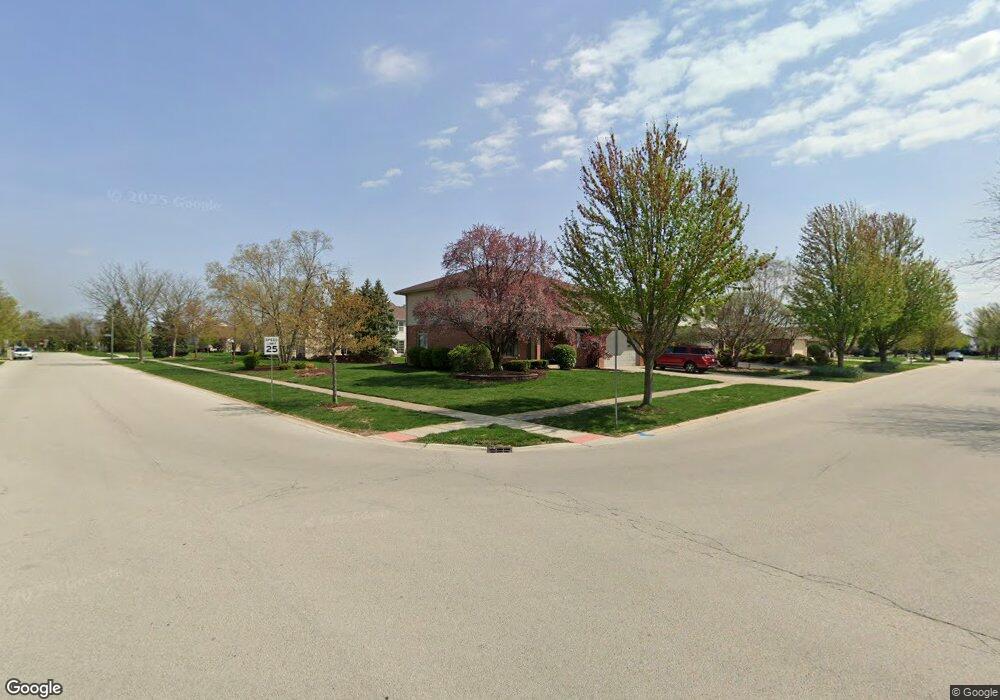
2617 Gannet Ln New Lenox, IL 60451
Estimated Value: $462,000 - $505,000
--
Bed
--
Bath
--
Sq Ft
0.28
Acres
About This Home
This home is located at 2617 Gannet Ln, New Lenox, IL 60451 and is currently estimated at $486,075. 2617 Gannet Ln is a home located in Will County with nearby schools including Spencer Trail, Spencer Pointe, and Spencer Crossing Intermediate School.
Ownership History
Date
Name
Owned For
Owner Type
Purchase Details
Closed on
Feb 24, 2014
Sold by
Jernberg Donald C and Bradley Annette M
Bought by
Donald C Jernberg and Jernber Annette M
Current Estimated Value
Purchase Details
Closed on
Jun 30, 2000
Sold by
Marquette National Bank
Bought by
Jernberg Donald C and Bradley Annette M
Home Financials for this Owner
Home Financials are based on the most recent Mortgage that was taken out on this home.
Original Mortgage
$140,000
Outstanding Balance
$49,955
Interest Rate
8.19%
Estimated Equity
$436,120
Create a Home Valuation Report for This Property
The Home Valuation Report is an in-depth analysis detailing your home's value as well as a comparison with similar homes in the area
Home Values in the Area
Average Home Value in this Area
Purchase History
| Date | Buyer | Sale Price | Title Company |
|---|---|---|---|
| Donald C Jernberg | -- | None Available | |
| Jernberg Donald C | $215,500 | Chicago Title Insurance Co |
Source: Public Records
Mortgage History
| Date | Status | Borrower | Loan Amount |
|---|---|---|---|
| Open | Jernberg Donald C | $140,000 |
Source: Public Records
Tax History Compared to Growth
Tax History
| Year | Tax Paid | Tax Assessment Tax Assessment Total Assessment is a certain percentage of the fair market value that is determined by local assessors to be the total taxable value of land and additions on the property. | Land | Improvement |
|---|---|---|---|---|
| 2024 | $10,811 | $149,216 | $36,393 | $112,823 |
| 2023 | $10,811 | $136,022 | $33,175 | $102,847 |
| 2022 | $10,323 | $125,308 | $30,562 | $94,746 |
| 2021 | $9,803 | $117,849 | $28,743 | $89,106 |
| 2020 | $9,525 | $113,644 | $27,717 | $85,927 |
| 2019 | $9,118 | $110,121 | $26,858 | $83,263 |
| 2018 | $8,909 | $106,325 | $25,932 | $80,393 |
| 2017 | $8,466 | $103,268 | $25,186 | $78,082 |
| 2016 | $8,219 | $100,504 | $24,512 | $75,992 |
| 2015 | $7,959 | $97,340 | $23,740 | $73,600 |
| 2014 | $7,959 | $96,138 | $23,447 | $72,691 |
| 2013 | $7,959 | $97,434 | $23,763 | $73,671 |
Source: Public Records
Map
Nearby Homes
- 651 Schooner Dr
- 2758 Bluestone Bay Dr
- 2667 E Lincoln Hwy
- 190 Pottawatomie Ln
- 2848 Southwind Dr
- 641 Lisson Grove
- 701 Bishops Gate
- 1535 Glenbrooke Ln
- 1351 E Lincoln Hwy
- 21359 Saddle Ln
- 21606 Skyway Dr
- 21170 Sage Brush Ln
- 21244 Sage Brush Ln
- 214 Somerset Ct
- 1595 Glenbrooke Ln
- 1591 Glenbrooke Ln
- 1587 Glenbrooke Ln
- 1583 Glenbrooke Ln
- 1579 Glenbrooke Bldg 60 Ln
- 21409 Foxtail Dr
- 2633 Gannet Ln
- 2616 Schooner Dr
- 2624 Schooner Dr
- 2630 Schooner Dr
- 2638 Schooner Dr
- 2651 Gannet Ln
- 735 Westwind Dr
- 741 Westwind Dr
- 2650 Schooner Dr
- 727 Westwind Dr
- 2628 Gannet Ln
- 2654 Schooner Dr
- 749 Westwind Dr
- 2667 Gannet Ln Unit 1
- 721 Westwind Dr
- 2664 Schooner Dr
- 2646 Gannet Ln
- 2605 Schooner Dr
- 755 Westwind Dr
- 715 Westwind Dr