2617 W Hutton Rd Wooster, OH 44691
Estimated Value: $618,000 - $818,564
4
Beds
3
Baths
2,784
Sq Ft
$258/Sq Ft
Est. Value
About This Home
This home is located at 2617 W Hutton Rd, Wooster, OH 44691 and is currently estimated at $718,282, approximately $258 per square foot. 2617 W Hutton Rd is a home located in Wayne County with nearby schools including Kean Elementary School, Parkview Elementary School, and Edgewood Middle School.
Ownership History
Date
Name
Owned For
Owner Type
Purchase Details
Closed on
Nov 20, 2019
Sold by
Shaffer David P
Bought by
Dalton David D and Brianna Dalton Trust
Current Estimated Value
Purchase Details
Closed on
Oct 4, 2010
Sold by
Shaffer David O and Shaffer Victoria M
Bought by
Shaffer David P and The Shaffer Keystone Inheritance Trust
Purchase Details
Closed on
May 30, 1986
Bought by
Shaffer David O and Shaffer Victori
Create a Home Valuation Report for This Property
The Home Valuation Report is an in-depth analysis detailing your home's value as well as a comparison with similar homes in the area
Home Values in the Area
Average Home Value in this Area
Purchase History
| Date | Buyer | Sale Price | Title Company |
|---|---|---|---|
| Dalton David D | $978,000 | None Available | |
| Shaffer David P | -- | Attorney | |
| Shaffer David O | -- | -- |
Source: Public Records
Mortgage History
| Date | Status | Borrower | Loan Amount |
|---|---|---|---|
| Closed | Dalton David D | $0 |
Source: Public Records
Tax History Compared to Growth
Tax History
| Year | Tax Paid | Tax Assessment Tax Assessment Total Assessment is a certain percentage of the fair market value that is determined by local assessors to be the total taxable value of land and additions on the property. | Land | Improvement |
|---|---|---|---|---|
| 2024 | $4,971 | $192,610 | $111,920 | $80,690 |
| 2023 | $4,971 | $192,610 | $111,920 | $80,690 |
| 2022 | $5,541 | $193,830 | $111,920 | $81,910 |
| 2021 | $5,706 | $193,830 | $111,920 | $81,910 |
| 2020 | $5,428 | $193,830 | $111,920 | $81,910 |
| 2019 | $5,210 | $172,090 | $106,010 | $66,080 |
| 2018 | $4,646 | $172,090 | $106,010 | $66,080 |
| 2017 | $4,621 | $172,090 | $106,010 | $66,080 |
| 2016 | $5,516 | $130,400 | $64,320 | $66,080 |
| 2015 | $5,421 | $130,400 | $64,320 | $66,080 |
| 2014 | $5,321 | $130,400 | $64,320 | $66,080 |
| 2013 | $5,263 | $124,690 | $53,990 | $70,700 |
Source: Public Records
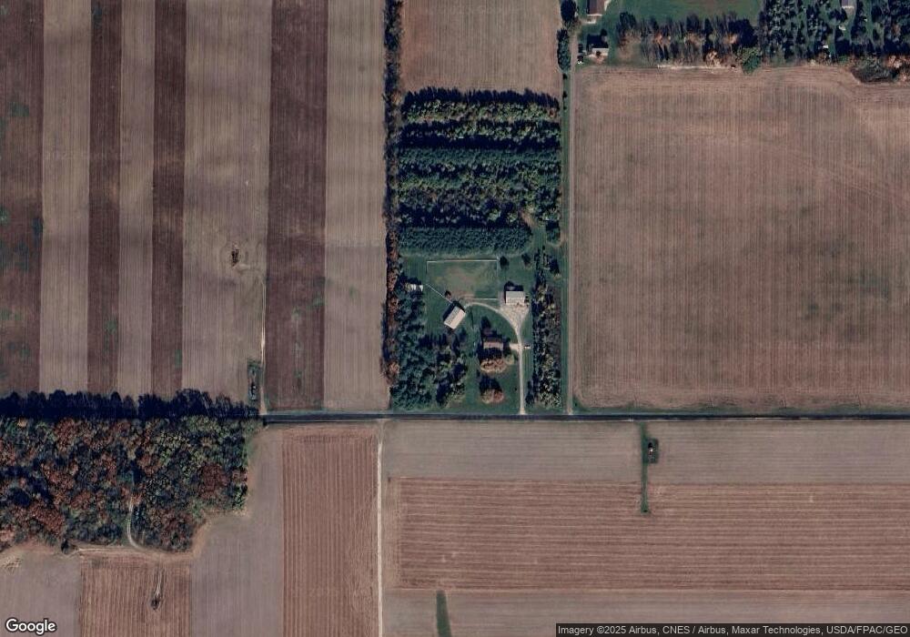
Map
Nearby Homes
- 4975 Clearcreek Valley Rd
- 3283 W Smithville Western Rd
- 3303 W Smithville Western Rd
- 888 Flag Stone Ave
- 5167 Overton Rd
- 0 W Smithville Western Rd
- V/L #1 Rice Hill Rd
- V/L #3 Rice Hill Rd
- V/L #4 Rice Hill Rd
- V/L #6 Rice Hill Rd
- V/L #2 Rice Hill Rd
- V/L #11 Rice Hill Rd
- V/L #5 Rice Hill Rd
- V/L #13 Rice Hill Rd
- V/L #9 Rice Hill Rd
- V/L #7 Rice Hill Rd
- V/L #8 Rice Hill Rd
- V/L #10 Rice Hill Rd
- 4156 Fieldridge Ct
- 1177 Church Hill Ct
- 2591 W Hutton Rd
- 2546 Jentes Rd
- 2569 Jentes Rd
- 2505 Jentes Rd
- 2112 W Hutton Rd
- 3066 Crater Rd
- 2058 W Hutton Rd
- 2439 Jentes Rd
- 3214 W Hutton Rd
- 2327 W Hutton Rd
- 2030 W Hutton Rd
- 3290 W Hutton Rd
- 1950 W Hutton Rd
- 3021 Crater Rd
- 3132 Crater Rd
- 1945 W Hutton Rd
- 5370 Mechanicsburg Rd
- 1948 W Hutton Rd
- 5576 Clearcreek Valley Rd
- 5790 Clearcreek Valley Rd