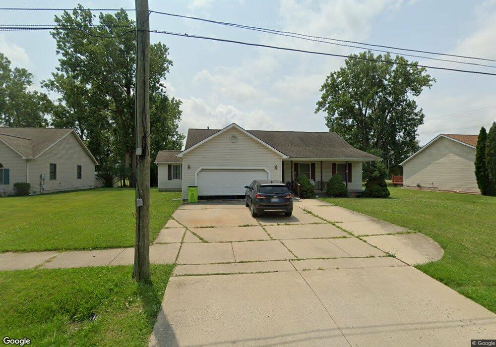
26171 Matilda Ave Unit Bldg-Unit Flat Rock, MI 48134
Estimated Value: $312,046 - $342,000
--
Bed
2
Baths
1,701
Sq Ft
$192/Sq Ft
Est. Value
About This Home
This home is located at 26171 Matilda Ave Unit Bldg-Unit, Flat Rock, MI 48134 and is currently estimated at $326,262, approximately $191 per square foot. 26171 Matilda Ave Unit Bldg-Unit is a home located in Wayne County with nearby schools including Ethel C. Bobcean Elementary School, John M. Barnes Elementary School, and Thomas Simpson Middle School.
Ownership History
Date
Name
Owned For
Owner Type
Purchase Details
Closed on
Jun 4, 2018
Sold by
Blankenbeckley Margaret
Bought by
Beech Robert
Current Estimated Value
Home Financials for this Owner
Home Financials are based on the most recent Mortgage that was taken out on this home.
Original Mortgage
$186,558
Interest Rate
5.62%
Mortgage Type
FHA
Purchase Details
Closed on
Jul 6, 2004
Sold by
Dixon C J and Dixon Patricia A
Bought by
Blankenbeckley Margaret
Create a Home Valuation Report for This Property
The Home Valuation Report is an in-depth analysis detailing your home's value as well as a comparison with similar homes in the area
Home Values in the Area
Average Home Value in this Area
Purchase History
| Date | Buyer | Sale Price | Title Company |
|---|---|---|---|
| Beech Robert | $190,000 | Devon Title Co | |
| Blankenbeckley Margaret | $175,000 | Metropolitan Title Company |
Source: Public Records
Mortgage History
| Date | Status | Borrower | Loan Amount |
|---|---|---|---|
| Previous Owner | Beech Robert | $186,558 |
Source: Public Records
Tax History Compared to Growth
Tax History
| Year | Tax Paid | Tax Assessment Tax Assessment Total Assessment is a certain percentage of the fair market value that is determined by local assessors to be the total taxable value of land and additions on the property. | Land | Improvement |
|---|---|---|---|---|
| 2025 | $4,944 | $140,200 | $0 | $0 |
| 2024 | $4,944 | $130,400 | $0 | $0 |
| 2023 | $4,715 | $116,500 | $0 | $0 |
| 2022 | $5,708 | $108,300 | $0 | $0 |
| 2021 | $5,131 | $98,400 | $0 | $0 |
| 2020 | $5,062 | $98,700 | $0 | $0 |
| 2019 | $4,969 | $91,000 | $0 | $0 |
| 2018 | $2,747 | $87,900 | $0 | $0 |
| 2017 | $1,448 | $70,600 | $0 | $0 |
| 2016 | $3,327 | $66,600 | $0 | $0 |
| 2015 | $6,120 | $64,100 | $0 | $0 |
| 2013 | $5,615 | $65,100 | $0 | $0 |
| 2012 | $1,952 | $57,900 | $6,400 | $51,500 |
Source: Public Records
Map
Nearby Homes
- 26628 Emma Ave
- 00000 Arsenal Rd
- 26878 Celtic Dr
- 26926 Celtic Dr
- 26806 Celtic Dr
- 27119 Landmark Dr
- 27200 Telegraph Rd
- 25712 Telegraph Rd
- 26607 Teton Ln Unit 693
- 25182 Frontier Cir
- 27236 Ritter Blvd
- 25340 Telegraph Rd
- 27299 Jessica Ln
- 25738 Connery Dr
- 24946 Peters Rd
- 24576 Arsenal Rd
- 24611 Rock Lake Ct
- 27031 W Huron River Dr
- 27145 James Ave
- 26980 James Ave
- 26171 Matilda Ave
- 26185 Matilda Ave
- 26157 Matilda Ave
- 26237 Arsenal Rd
- 26152 Matilda Ave
- 26148 Matilda Ave
- 26079 Arsenal Rd
- 26136 Matilda Ave
- 26133 Matilda Ave
- 26124 Matilda Ave
- 26102 Matilda Ave
- 26101 Matilda Ave
- 26096 Matilda Ave
- 26094 Matilda Ave
- 26070 Matilda Ave
- 26050 Matilda Ave
- 26067 Matilda Ave
- 26030 Matilda Ave
- 25999 Matilda Ave
- 26000 Arsenal Rd