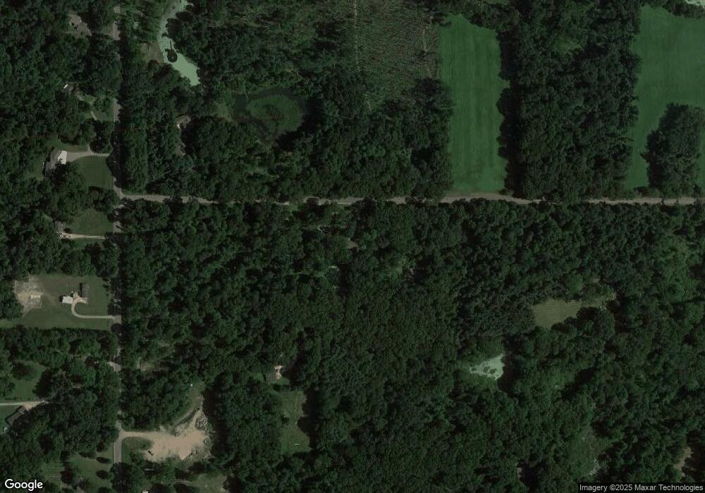
26179 Perrin Rd Sturgis, MI 49091
Estimated Value: $326,041 - $489,000
--
Bed
--
Bath
1,728
Sq Ft
$221/Sq Ft
Est. Value
About This Home
This home is located at 26179 Perrin Rd, Sturgis, MI 49091 and is currently estimated at $381,680, approximately $220 per square foot. 26179 Perrin Rd is a home located in St. Joseph County with nearby schools including Centreville Elementary School, Centreville Junior/Senior High School, and Lake Area Christian School.
Ownership History
Date
Name
Owned For
Owner Type
Purchase Details
Closed on
May 9, 2018
Sold by
Bontrager Darlene K and Miller Darlene K
Bought by
Johnson Nathan
Current Estimated Value
Home Financials for this Owner
Home Financials are based on the most recent Mortgage that was taken out on this home.
Original Mortgage
$211,961
Outstanding Balance
$182,673
Interest Rate
4.44%
Mortgage Type
VA
Estimated Equity
$199,007
Purchase Details
Closed on
Dec 1, 2017
Sold by
Bontrager Darlene K
Bought by
Bontrager Darlene K and The Darlene K Bontrager Revocable
Purchase Details
Closed on
Sep 2, 2009
Sold by
Miller Darlene K
Bought by
Revocable Trust Agreement Of Darlene K M
Purchase Details
Closed on
Jul 12, 1985
Sold by
Miller Lewis E and Miller Ruby J
Bought by
Miller Michael E and Miller Darlene K
Create a Home Valuation Report for This Property
The Home Valuation Report is an in-depth analysis detailing your home's value as well as a comparison with similar homes in the area
Home Values in the Area
Average Home Value in this Area
Purchase History
| Date | Buyer | Sale Price | Title Company |
|---|---|---|---|
| Johnson Nathan | $207,500 | None Available | |
| Bontrager Darlene K | -- | Title Resource Agency | |
| Revocable Trust Agreement Of Darlene K M | -- | None Available | |
| Miller Michael E | $7,500 | -- |
Source: Public Records
Mortgage History
| Date | Status | Borrower | Loan Amount |
|---|---|---|---|
| Open | Johnson Nathan | $211,961 |
Source: Public Records
Tax History Compared to Growth
Tax History
| Year | Tax Paid | Tax Assessment Tax Assessment Total Assessment is a certain percentage of the fair market value that is determined by local assessors to be the total taxable value of land and additions on the property. | Land | Improvement |
|---|---|---|---|---|
| 2025 | $2,883 | $146,300 | $33,000 | $113,300 |
| 2024 | $1,043 | $135,200 | $28,700 | $106,500 |
| 2023 | $994 | $122,800 | $22,400 | $100,400 |
| 2022 | $0 | $104,900 | $17,100 | $87,800 |
| 2021 | $1,550 | $91,500 | $16,000 | $75,500 |
| 2020 | $906 | $91,300 | $15,200 | $76,100 |
| 2019 | $889 | $84,300 | $21,000 | $63,300 |
| 2018 | $2,068 | $81,100 | $21,000 | $60,100 |
| 2017 | $2,007 | $80,600 | $80,600 | $0 |
| 2016 | -- | $79,900 | $79,900 | $0 |
| 2015 | -- | $76,700 | $0 | $0 |
| 2014 | -- | $76,200 | $76,200 | $0 |
| 2012 | -- | $69,800 | $69,800 | $0 |
Source: Public Records
Map
Nearby Homes
- 61704 Crystal Beach Dr
- 61672 Crystal Beach Dr
- V/L Banker St
- 61984 Bayshore Dr
- 25722 Rainbow Dr
- 0 Rainbow Dr
- 0 V L M66- 102+ - Unit 24045986
- 60584 Wallman Dr
- 23974 Findley Rd
- 61570 Raintree Blvd
- V/L Raintree Blvd
- 28195 Blackberry Ln
- 65289 Balk Rd
- 27810 Maystead Rd
- V/L White Pine Dr
- 128 V/L Island Hills Dr
- 66109 Hideaway Ln
- 66223 Grey Lake Rd
- 28123 Timberly Dr
- 0 N Centerville Rd
- 62902 Nottawa Rd
- 26179 Perrin Rd
- 62938 Nottawa Rd
- 26149 Perrin Rd
- 62856 Nottawa Rd
- 62797 Nottawa Rd
- 62685 Nottawa Rd
- 62613 Nottawa Rd
- 26140 Perrin Rd
- 62650 Nottawa Rd
- 62592 Nottawa Rd
- 62706 Nottawa Rd
- 62790 Nottawa Rd
- 63026 Nottawa Rd
- 63080 Nottawa Rd
- 26040 Perrin Rd
- 63226 Nottawa Rd
- 63109 Borgert Rd
- 26701 Perrin Rd
- 63041 Borgert Rd
